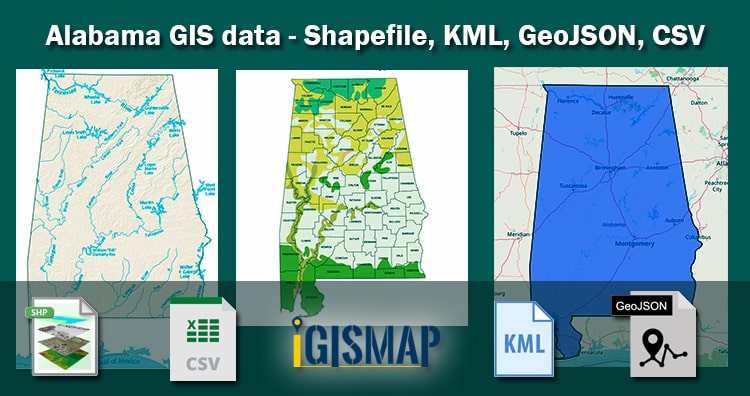
GIS Data and Maps of Alabama State is used by planners and surveyors for visualizing and identifying the patterns that are difficult to examine when data is in table form. Here you can download the GIS data of the state boundary, county division, rail and highway maps in just a few clicks. You can use these data for analysis initself or download them in any suitable GIS format. You can download these data in KML, GeoJSON, CSV or Shapefile formats.
With MAPOG’s versatile toolkit, you can effortlessly upload vector and raster files, add WMS (Web Map Service) layers, upload Excel or CSV data, incorporate existing files, perform polygon splitting and merging, generate new polygon and polyline data, use the converter for various formats, conduct buffer analysis, create grids, transform points into polygons, calculate isochrones, and utilize the geocoder for precise location information.
We offer an extensive array of data formats, including KML, SHP, CSV, GeoJSON, Tab, SQL, Tiff, GML, KMZ, GPKZ, SQLITE, Dxf, MIF, TOPOJSON, XLSX, GPX, ODS, MID, and GPS, ensuring compatibility and accessibility for various applications and analyses.
Note :
- All data available are in GCS datum EPSG:4326 WGS84 CRS (Coordinate Reference System).
- You need to login for downloading the shapefile.
Download shapefile of Alabama County
Alabama is a southeastern state of United States. The state is known for its iron and steel natural resources, sweet tea and Football. Alabama capital is Montgomery. Alabama is divided into 67 counties, including Autauga, Baldwin, Jefferson, and others.
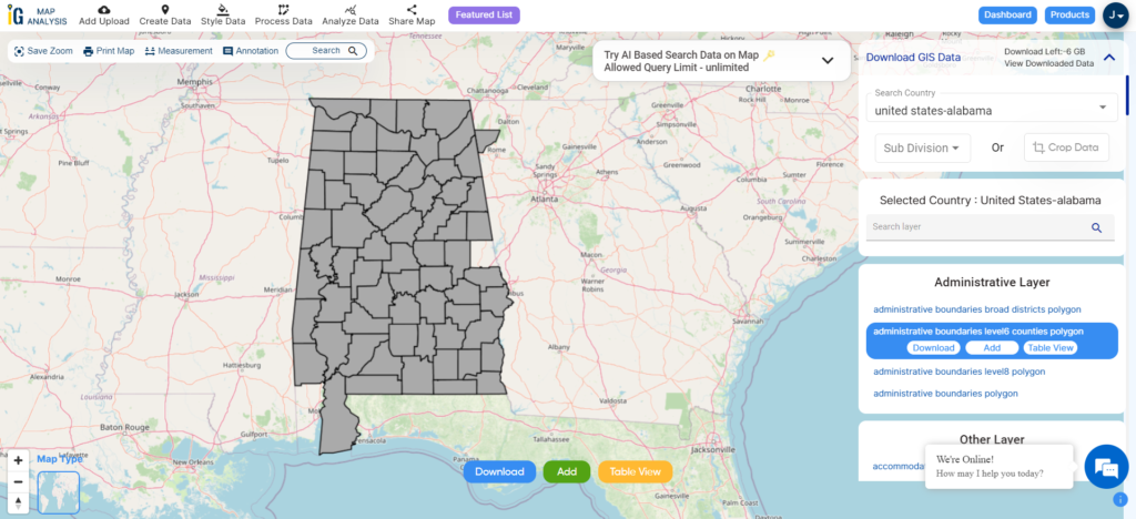
Download Alabama Counties Boundary Shapefile
You can edit or format the map as per need or requirement. For analysis and editing use MAPOG Tool. In addition to editing, you can share the map with your client or colleague.
You can view data information by clicking on the location on map. Before download Please check the data by toggle to data from map view.
Download Cities, Towns and Villages Shapefile of Alabama
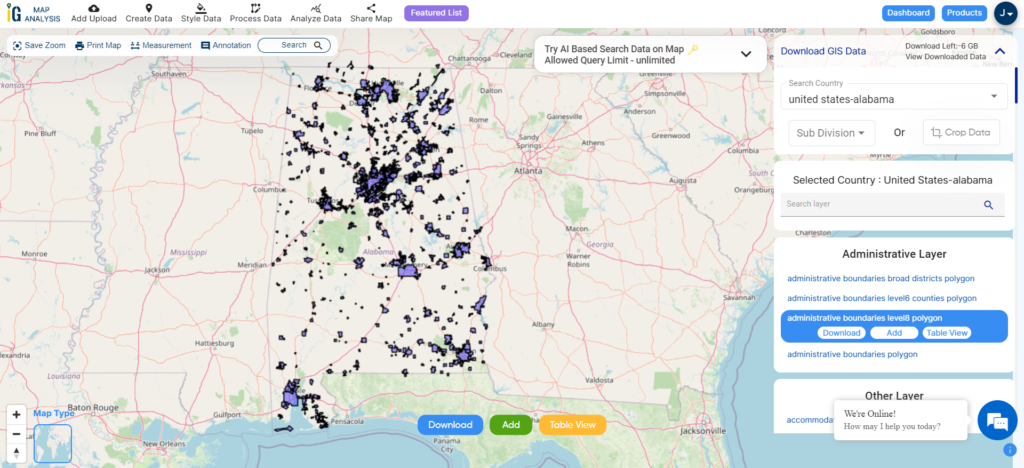
Download Alabama Cities, Towns and Villages Boundary Shapefile
Download Airport Point of Alabama State
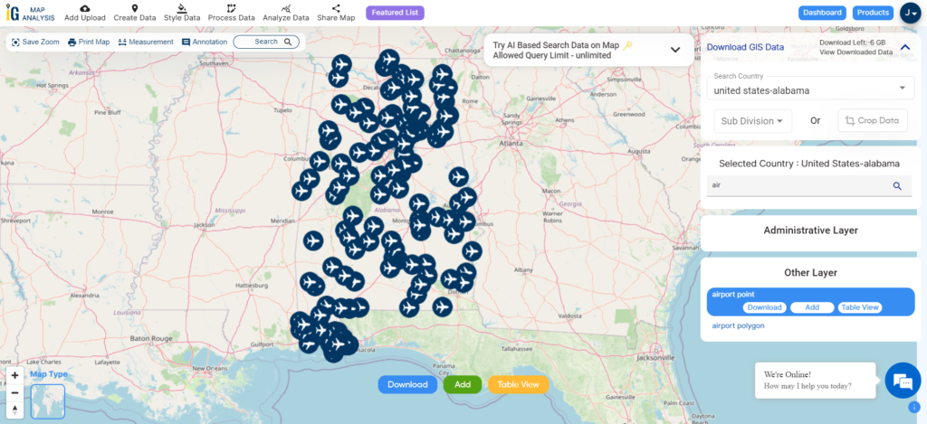
Download Alabama Airport Points Shapefile
For GIS data in another GIS format that is not listed in the drop-down list, use MAPOG Converter Tool.
Other GIS Data:
- Download Alabama Highway Lines Shapefile
- Download Alabama Road Lines Shapefile
- Download Alabama Rivers Shapefile
Above all links are provided for GIS data of Alabama if you are looking for any specific data please write us on support@igismap.com
Download GIS Data of other states of USA:
- Alabama
- Alaska
- Arizona
- Arkansas
- California
- Colorado
- Connecticut
- Florida
- Georgia
- Hawaii
- Idaho
- Illinois
- Indiana
- Iowa
- Kansas
- Massachusetts
- Maryland
- Michigan
- Minnesota
- Mississipi
- Missouri
- Montana
- Nevada
- Nebraska
- Ohio
- Oklahoma
- Pennsylvania
- Utah
- Vermont
- Washington
- Wisconsin
- Wyoming
- Tennessee
- Texas
- Kentucky
- Louisiana
- Maine
- North Carolina
- Oregon
- Virginia
- West Virginia
Download Shapefile for the following:
- World Countries Shapefile
- Australia
- Argentina
- Austria
- Belgium
- Brazil
- Canada
- Denmark
- Fiji
- Finland
- Germany
- Greece
- India
- Indonesia
- Ireland
- Italy
- Japan
- Kenya
- Lebanon
- Madagascar
- Malaysia
- Mexico
- Mongolia
- Netherlands
- New Zealand
- Nigeria
- Papua New Guinea
- Philippines
- Poland
- Russia
- Singapore
- South Africa
- South Korea
- Spain
- Switzerland
- Tunisia
- United Kingdom Shapefile
- United States of America
- Vietnam
- Croatia
- Chile
- Norway
- Maldives
- Bhutan
- Colombia
- Libya
- Comoros
- Hungary
- Laos
- Estonia
- Iraq
- Portugal
- Azerbaijan
- Macedonia
- Romania
- Peru
- Marshall Islands
- Slovenia
- Nauru
- Guatemala
- El Salvador
- Afghanistan
- Cyprus
- Syria
- Slovakia
- Luxembourg
- Jordan
- Armenia
- Haiti And Dominican Republic
Disclaimer : If you find any shapefile data of country provided is incorrect do contact us or comment below, so that we will correct the same in our system as well we will try to correct the same in openstreetmap.