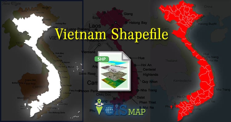
Hello GIS enthusiasts, IGISMAP has now published the latest GIS vector data of Vietnam administrative levels. Links for downloading the shapefiles of the important administrative divisions of Vietnam are provided in the following. You can also download these data in KML, GeoJSON or CSV formats.
Note:
- All data available are in GCS datum EPSG:4326 WGS84 CRS (Coordinate Reference System).
- You need to login for downloading the shapefile.
Download Free Shapefile Data of Vietnam
Vietnam, officially the Socialist Republic of Vietnam, is a country in Southeast Asia. Located at the eastern edge of mainland Southeast Asia, it covers 311,699 square kilometers (120,348 sq mi). With a population of over 96 million, it is the world’s fifteenth-most populous country. Vietnam borders China to the north, Laos and Cambodia to the west, and shares maritime borders with Thailand through the Gulf of Thailand, and the Philippines, Indonesia, and Malaysia through the South China Sea. Its capital is Hanoi and its largest city is Ho Chi Minh City.
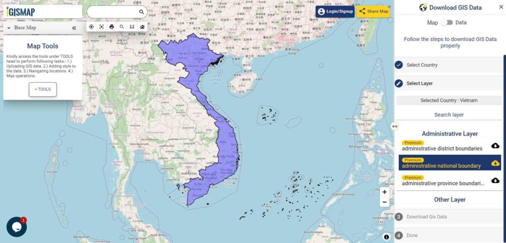
Download Vietnam National Outline Boundary Shapefile
Download Vietnam Province Shapefile Data
Following GIS vector data of Vietnam Provinces contains 63 polygon boundaries
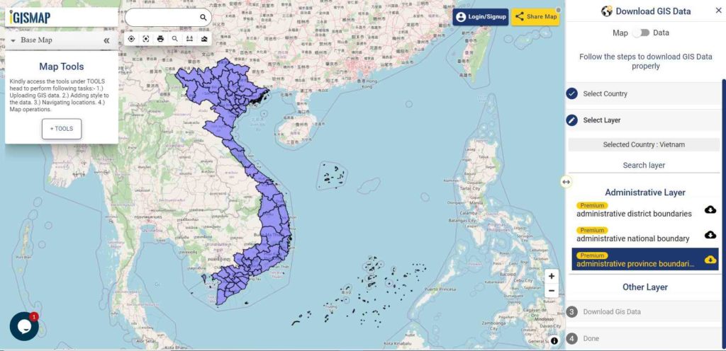
Download Vietnam Provinces Boundaries Shapefile
Download Vietnam Districts Shapefile Data
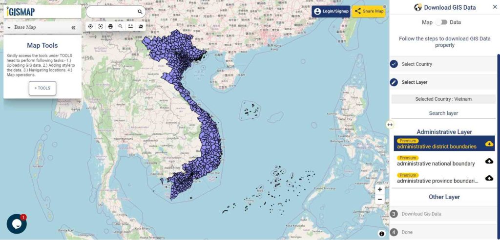
Download Vietnam Districts Boundaries Shapefile
Please note that the Vietnam data provided here is license under Open Data Commons Open Database License (ODbL). Please review the same before using it. If you want data under different license you can also look over to the post : Download Free Shapefile Maps – Country Boundary Polygon, Rail-Road, Water polyline etc
Download Free Shapefile for the following:
- World Countries Shapefile
- Australia
- Argentina
- Austria
- Belgium
- Brazil
- Canada
- Denmark
- Fiji
- Finland
- Germany
- Greece
- India
- Indonesia
- Ireland
- Italy
- Japan
- Kenya
- Lebanon
- Madagascar
- Malaysia
- Mexico
- Mongolia
- Netherlands
- New Zealand
- Nigeria
- Papua New Guinea
- Philippines
- Poland
- Russia
- Singapore
- South Africa
- South Korea
- Spain
- Switzerland
- Tunisia
- United Kingdom Shapefile
- United States of America
- Vietnam
- Croatia
- Chile
- Norway
Disclaimer : If you find any shapefile data of country provided is in correct do contact us or comment below, so that we will correct the same in our system.