i
GIS
MAP
Home
Book a Meeting
Blogs
Login / Register
Tag
Tag: USA Boundaries
3 posts
Add Data on map
Download USA Blocks Data in GIS Formats (Step-by-Step Guide)
GIS Data by MAPOG is a powerful platform designed to help users access and download structured geographic datasets in multiple GIS formats.…
4 min read
→
Add Data on map
Download USA County Subdivision Data in Shapefile, KML, MID +15 GIS Formats using GIS Data by MAPOG
GIS Data by MAPOG is a powerful platform that provides structured geographic datasets in multiple GIS-ready formats. It allows users to easily…
4 min read
→
GeoJSON
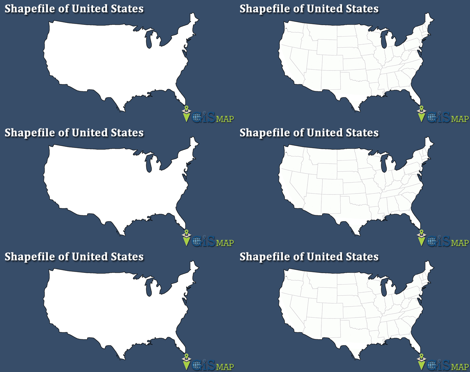
Download United States of America Administrative Boundary Shapefiles – States, Counties, Reservation Lands and more
Hello GIS enthusiasts, IGISMAP has now published the latest GIS vector data of USA administrative levels. Links for downloading the shapefiles of…
5 min read
→
Exit mobile version
We use cookies to ensure that we give you the best experience on our website. If you continue to use this site we will assume that you are happy with it.
Ok