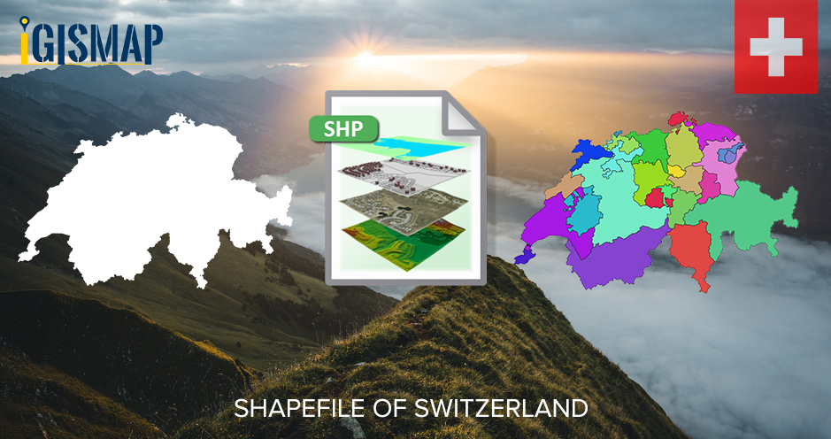
Hello GIS enthusiasts, IGISMAP has now published the latest GIS vector data of Switzerland administrative levels. Links for downloading the shapefiles of the important administrative divisions of Switzerland are provided in the following. You can also download these data in KML, GeoJSON or CSV formats.
Note:
- All data available are in GCS datum EPSG:4326 WGS84 CRS (Coordinate Reference System).
- You need to login for downloading the shapefile.
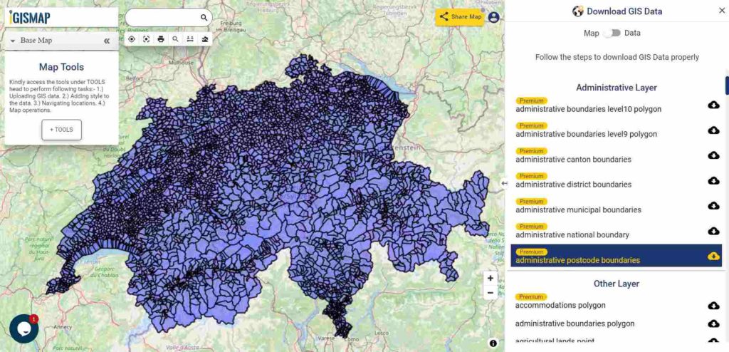
Download Free Shapefile Data of Switzerland
Switzerland, officially the Swiss Confederation, is a landlocked country at the confluence of Western, Central and Southern Europe. Switzerland is bordered by Italy to the south, France to the west, Germany to the north and Austria and Liechtenstein to the east. It is geographically divided among the Swiss Plateau, the Alps and the Jura, spanning a total area of 41,285 km2 (15,940 sq mi) and land area of 39,997 km2 (15,443 sq mi).
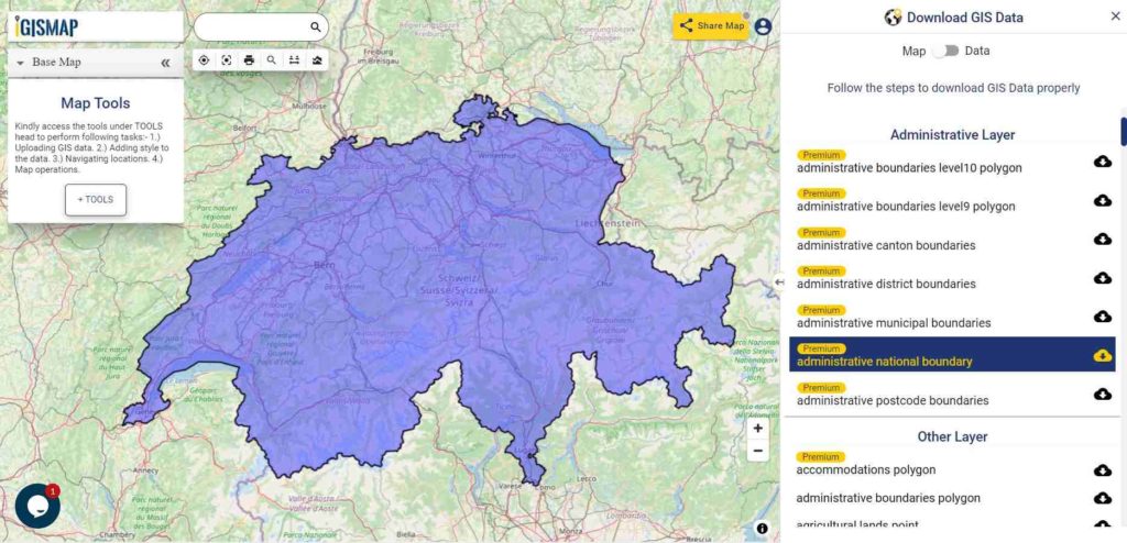
Download Switzerland National Outline Boundary Shapefile
If you are looking for any other GIS formats then use GIS File Converter.
Download Switzerland Cantons Shapefile Data
Switzerland being a federal republic composed of 26 cantons. The 26 cantons of Switzerland are the member states of the Swiss Confederation.
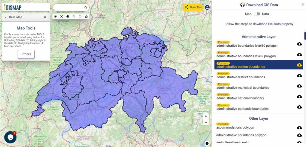
Download Switzerland Canton Boundaries Shapefile
Download Switzerland Districts Shapefile Data
Districts of Switzerland are a political subdivision for cantons. In the federally constituted Switzerland, each canton is completely free to decide its own internal organization. Following data of Switzerland have 159 district boundaries.
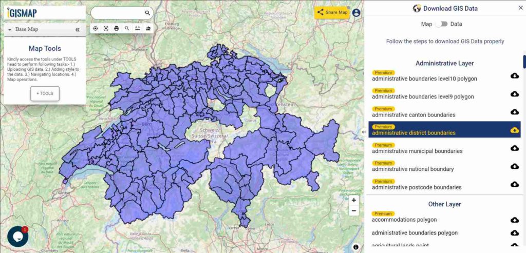
Download Switzerland District Boundaries Shapefile
Download Switzerland Postcode areas Shapefile Data
Switzerland is divided into nine postal districts, numbered from west to east. Each district is subdivided into postal areas. Each area contains a maximum of one hundred units. There are 4116 Postcode in the following data.
Download Switzerland Postcode Boundaries Shapefile
Other Administrative Boundary Data:
For more GIS data visit – MAPOG’s GIS DATA
For more specific data contact us at support@mapog.com
Download Free Shapefile for the following:
- World Countries Shapefile
- Australia
- Argentina
- Austria
- Belgium
- Brazil
- Canada
- Denmark
- Fiji
- Finland
- Germany
- Greece
- India
- Indonesia
- Ireland
- Italy
- Japan
- Kenya
- Lebanon
- Madagascar
- Malaysia
- Mexico
- Mongolia
- Netherlands
- New Zealand
- Nigeria
- Papua New Guinea
- Philippines
- Poland
- Russia
- Singapore
- South Africa
- South Korea
- Spain
- Switzerland
- Tunisia
- United Kingdom Shapefile
- United States of America
- Vietnam
- Croatia
- Chile
- Norway
Disclaimer : If you find any shapefile data of country provided is in correct do contact us or comment below, so that we will correct the same in our system as well we will try to correct the same in OSM.