
Unleash the hidden depths of Suriname with MAPOG! Delve into a treasure trove of GIS data, unlocking the intricate details of its administrative regions. Chart the courses of Suriname’s mighty rivers and their winding tributaries. Map your exploration across the country’s vital transportation network – navigate the intricate web of roads and take flight with data on Suriname’s essential air gateways, its airports. Download this wealth of Suriname GIS data with ease in formats like Shapefile, KML, GeoJSON, and CSV using our user-friendly tools. Empower your analysis of Suriname’s geography – choose MAPOG for all your Suriname GIS data needs!.
With MAPOG’s versatile toolkit, you can effortlessly upload vector, add WMS (Web Map Service) layers, upload Excel or CSV data, incorporate existing files, perform polygon splitting and merging, generate new polygon and polyline data, use the converter for various formats, conduct buffer analysis, create grids, transform points into polygons, calculate isochrones, and utilize the geocoder for precise location information.
We offer an extensive array of data formats, including KML, SHP, CSV, GeoJSON, Tab, SQL, Tiff, GML, KMZ, GPKZ, SQLITE, Dxf, MIF, TOPOJSON, XLSX, GPX, ODS, MID, and GPS, ensuring compatibility and accessibility for various applications and analyses.
Note:
- All data available are in GCS datum EPSG:4326 WGS84 CRS (Coordinate Reference System).
- You need to login for downloading the shapefile.
Download Shapefile Data of Suriname
Suriname, officially the Republic of Suriname is a country in northern South America, sometimes considered part of the Caribbean and the West Indies. Located slightly north of the equator, over 90% of its territory is covered by rainforests, giving it the highest proportion of forest cover in the world. Suriname is bordered by the Atlantic Ocean to the north, French Guiana to the east, Guyana to the west, and Brazil to the south. It is the smallest country in South America by both population and area, with approximately 612,985 inhabitants and an area of about 163,820 square kilometers (63,251 square miles). The capital and largest city is Paramaribo, which is home to roughly half the population.
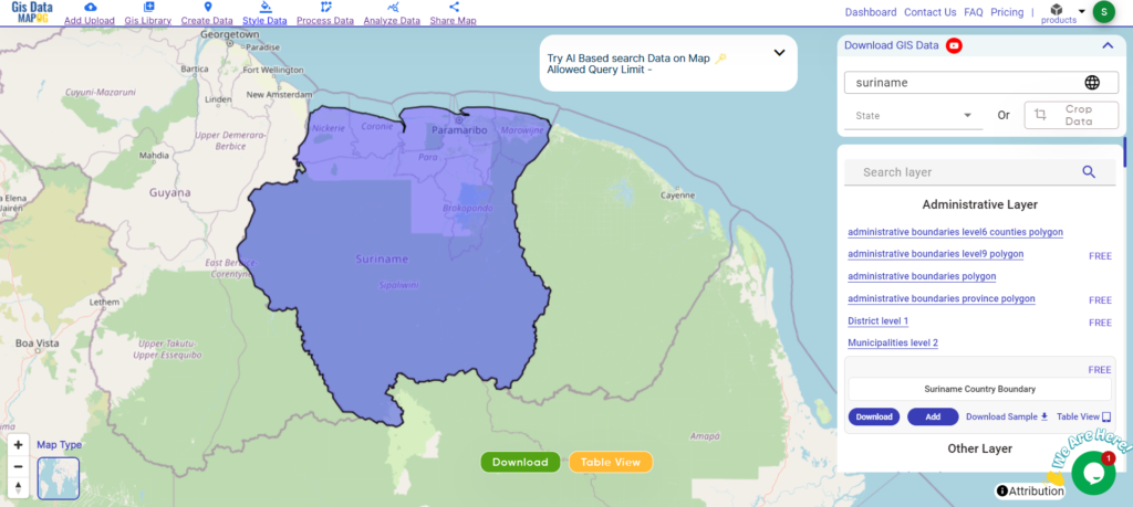
Download Suriname National Boundary Shapefile
After successfully logging in with a legitimate email address, select the country you want to work with. Next, choose the specific layer you need and click on the download option. Once that’s done, pick the desired format to acquire the essential GIS data. Before proceeding with the data download, make sure to review the data table for any relevant information.
Download Suriname Districts Shapefile Data
Suriname is divided into ten administrative districts, each with its own unique characteristics and attractions.
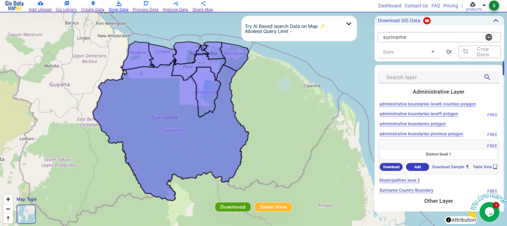
Download Suriname Districts Boundary Shapefile
Here are the districts of Suriname listed out:
- Brokopondo
- Commewijne
- Coronie
- Marowijne
- Nickerie
- Para
- Paramaribo
- Saramacca
- Sipaliwini
- Wanica
Download Suriname Municipalities Shapefile Data
Suriname is divided into districts, which are further subdivided into municipalities. However, the term “municipality” is not commonly used in Suriname’s administrative divisions. Instead, each district is divided into several resorts (ressorten).
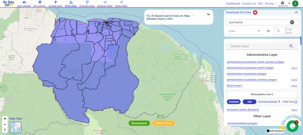
Download Suriname Municipalities Boundary Shapefile
Other GIS Data:
- Download Suriname Airport Point Shapefile
- Download Suriname Highway Lines Shapefile
- Download Suriname Road Lines Shapefile
- Download Suriname Rivers Shapefile
Above all links are provided for GIS data of Suriname if you are looking for any specific data please write us on support@mapog.com
Download Shapefile for the following:
- World Countries Shapefile
- Australia
- Argentina
- Austria
- Belgium
- Brazil
- Canada
- Denmark
- Fiji
- Finland
- Germany
- Greece
- India
- Indonesia
- Ireland
- Italy
- Japan
- Kenya
- Lebanon
- Madagascar
- Malaysia
- Mexico
- Mongolia
- Netherlands
- New Zealand
- Nigeria
- Papua New Guinea
- Philippines
- Poland
- Russia
- Singapore
- South Africa
- South Korea
- Spain
- Switzerland
- Tunisia
- United Kingdom Shapefile
- United States of America
- Vietnam
- Croatia
- Chile
- Norway
- Maldives
- Bhutan
- Colombia
- Libya
- Comoros
- Hungary
- Laos
- Estonia
- Iraq
- Portugal
- Azerbaijan
- Macedonia
- Romania
- Peru
- Marshall Islands
- Slovenia
- Nauru
- Guatemala
- El Salvador
- Afghanistan
- Cyprus
- Syria
- Slovakia
- Luxembourg
- Jordan
- Armenia
- Haiti And Dominican Republic
Disclaimer : If you find any shapefile data of country provided is incorrect do contact us or comment below, so that we will correct the same in our system as well we will try to correct the same in openstreetmap.