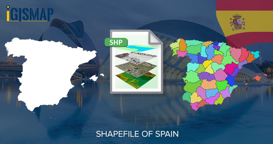
Hello GIS enthusiasts, IGISMAP has now published the latest GIS vector data of Spain administrative levels. Links for downloading the shapefiles of the important administrative divisions of Spain are provided in the following. You can also download these data in KML, GeoJSON or CSV formats.
Note:
- All data available are in GCS datum EPSG:4326 WGS84 CRS (Coordinate Reference System).
- You need to login for downloading the shapefile.
Download Free Shapefile Data of Spain
Spain officially known as the Kingdom of Spain is a country in Southwestern Europe with some pockets of territory in the Mediterranean Sea, offshore in the Atlantic Ocean. The country’s mainland is bordered to the south by the British overseas territory of Gibraltar, to the south and east by the Mediterranean Sea to the north by France, Andorra and the Bay of Biscay and to the west by Portugal and the Atlantic Ocean.
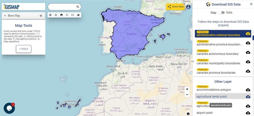
Download Spain National Outline Boundary Shapefile
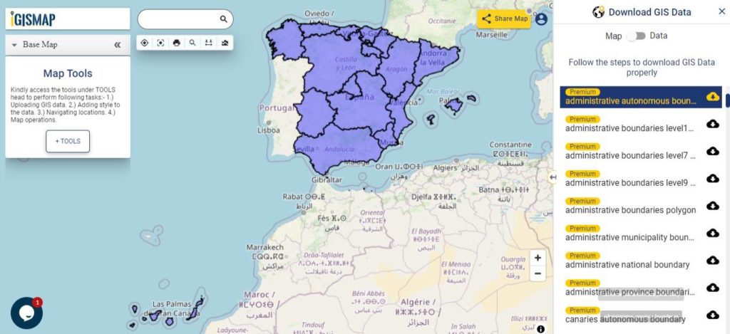
Download Spain Autonomous Communities Shapefile Data
In Spain, an autonomous community is a first level political and administrative division, created in accordance with the Spanish Constitution of 1978, with the aim of guaranteeing limited autonomy of the nationalities and regions that make up Spain. There are 17 autonomous communities and two autonomous cities that are collectively known as autonomies.
- Andalusia
- Aragon
- Asturias
- Balearic Islands
- Basque Country
- Canary Islands
- Cantabria
- Castile and León
- Castilla–La Mancha
- Catalonia
- Community of Madrid
- Extremadura
- Galicia
- La Rioja
- Navarre
- Region of Murcia
- Valencian Community
- Ceuta
- Melilla
Download Spain Autonomous Community Boundaries Shapefile
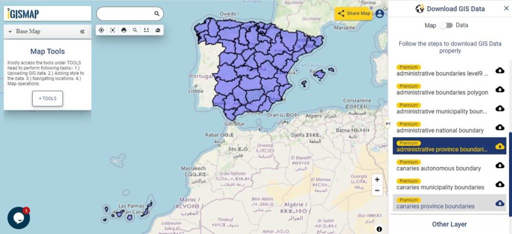
Download Spain Provinces Shapefile Data
Spain and its 17 autonomous communities are subdivided into 50 provinces. Seven of the autonomous communities comprise no more than one province each: Asturias, the Balearic Islands, Cantabria, La Rioja, Madrid, Murcia, and Navarre. These are sometimes referred to as uniprovincial communities.
Download Spain Province Boundaries Shapefile
Download Spain Municipalities Shapefile Data
There is a total of 8124 municipalities in Spain, including the autonomous cities of Ceuta and Melilla. Burgos is the province with the most municipalities (371) and Las Palmas the one with the least (34).
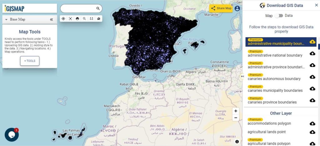
Download Spain Municipality Boundaries Shapefile
Other Administrative Boundary Data:
- Download Canaries Autonomous Community Boundaries Shapefile
- Download Canaries Province Boundaries Shapefile
- Download Canaries Municipality Boundaries Shapefile
Download Free Shapefile for the following:
- World Countries Shapefile
- Australia
- Argentina
- Austria
- Belgium
- Brazil
- Canada
- Denmark
- Fiji
- Finland
- Germany
- Greece
- India
- Indonesia
- Ireland
- Italy
- Japan
- Kenya
- Lebanon
- Madagascar
- Malaysia
- Mexico
- Mongolia
- Netherlands
- New Zealand
- Nigeria
- Papua New Guinea
- Philippines
- Poland
- Russia
- Singapore
- South Africa
- South Korea
- Spain
- Switzerland
- Tunisia
- United Kingdom Shapefile
- United States of America
- Vietnam
- Croatia
- Chile
- Norway
Disclaimer : If you find any shapefile data of country provided is in correct do contact us or comment below, so that we will correct the same in our system as well we will try to correct the same in OSM.