 Shapefile
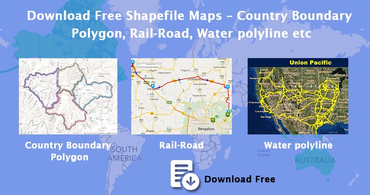
Download Free Shapefile Maps – Country Boundary Polygon, Rail-Road, Water polyline etc
Download Free Shapefile Maps – Shapefile is one of the most common and extensively use vector file format of GIS (Geographical Information…
5 min read
→
 GIS
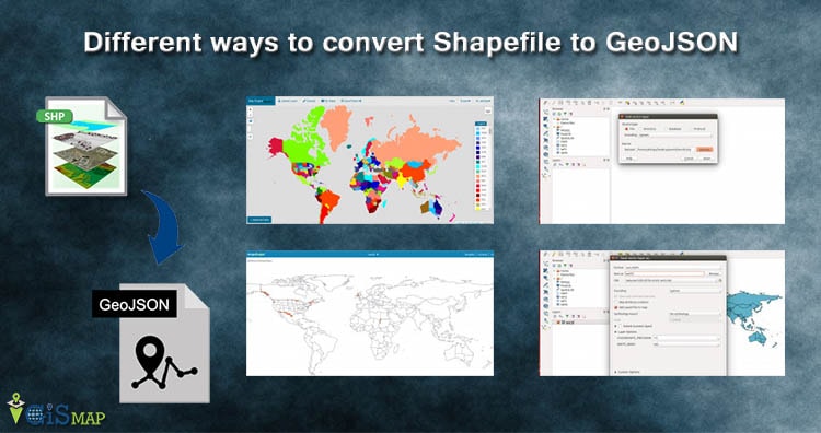
Different ways to convert Shapefile to GeoJSON – Online or Offline or API
Convert Shapefile to GeoJSON. Shapefile, ESRI made a standard vector file format which is largely adopted in the field of GIS by…
6 min read
→
 GIS
Merge more than two Shapefile in QGIS
Merge more than two Shapefile in QGIS. Do you want to merge two or more than two Shapefile? Do all the Shapefile are…
2 min read
→
 GIS
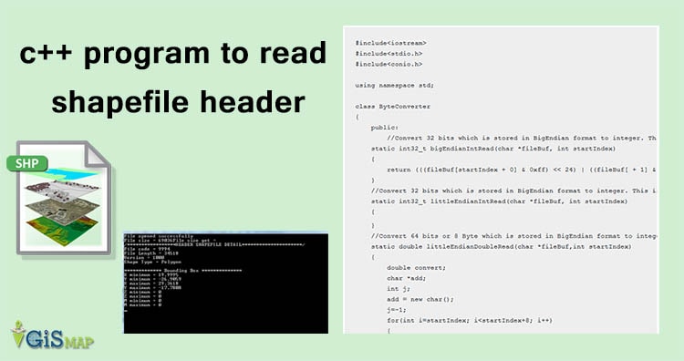
c++ program to read shapefile header
c++ program to read shapefile header. Shapefile can be read if you know the format of Shapefile files i.e of .shp, .shx,…
5 min read
→
GIS
Get minimum Bounding box of shapefile c++ program
Get minimum Bounding box of shapefile c++ program. This program not only reads shapefile, but makes you aware to read other files, i.e…
3 min read
→