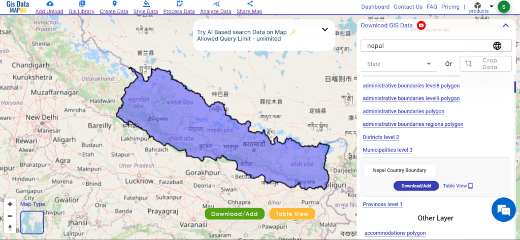
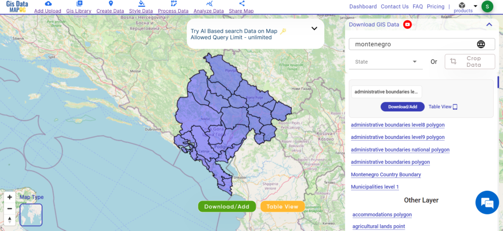
Explore geography of China seamlessly with MAPOG. Access a diverse range of datasets, including boundaries, rivers, vegetation, and airports. Take advantage of user-friendly tools like Download GIS Data, providing formats such as Shapefile, KML, GeoJSON, and CSV. Delve into China GIS Data confidently with MAPOG.
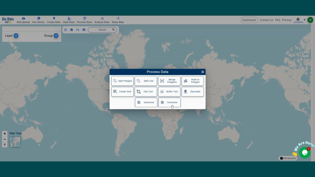
With MAPOG’s versatile toolkit, you can effortlessly upload vector, add WMS (Web Map Service) layers, upload Excel or CSV data, incorporate existing files, perform polygon splitting and merging, generate new polygon and polyline data, use the converter for various formats, conduct buffer analysis, create grids, transform points into polygons, calculate isochrones, and utilize the geocoder for precise location information.
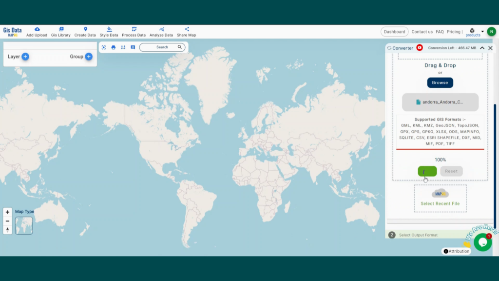
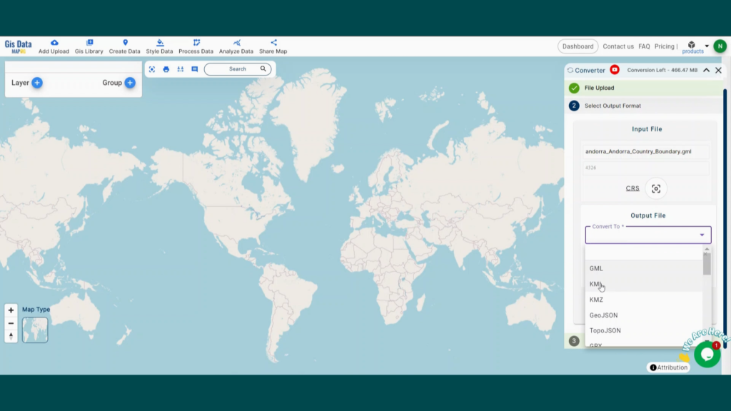
We offer an extensive array of data formats, including KML, SHP, CSV, GeoJSON, Tab, SQL, Tiff, GML, KMZ, GPKZ, SQLITE, Dxf, MIF, TOPOJSON, XLSX, GPX, ODS, MID, and GPS, ensuring compatibility and accessibility for various applications and analyses.
Note:
- All data available are in GCS datum EPSG:4326 WGS84 CRS (Coordinate Reference System).
- You need to login for downloading the shapefile.
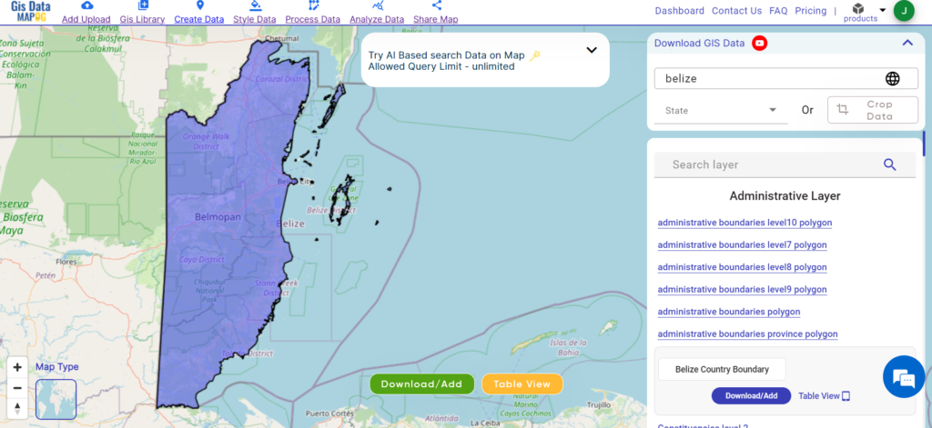
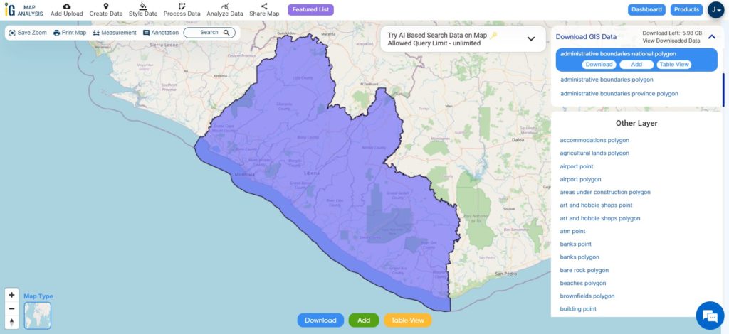
Download Shapefile Data of Ivory Coast
The Ivory Coast, officially known as Côte d’Ivoire, is a West African country renowned for its vibrant culture and diverse landscapes. Covering an area of approximately 322,463 square kilometers, it boasts lush rainforests, savannahs, and sandy beaches along the Gulf of Guinea. Its capital, Yamoussoukro, stands as a testament to its rich history and serves as the political center of the nation.
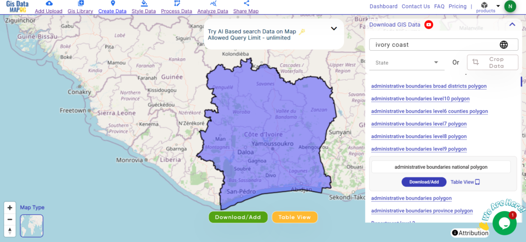
Download Ivory Coast National Boundary Shapefile
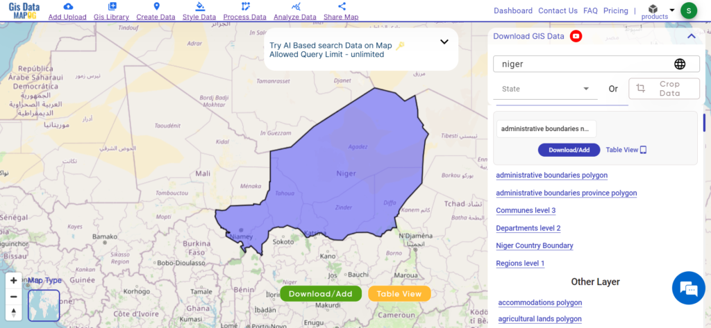
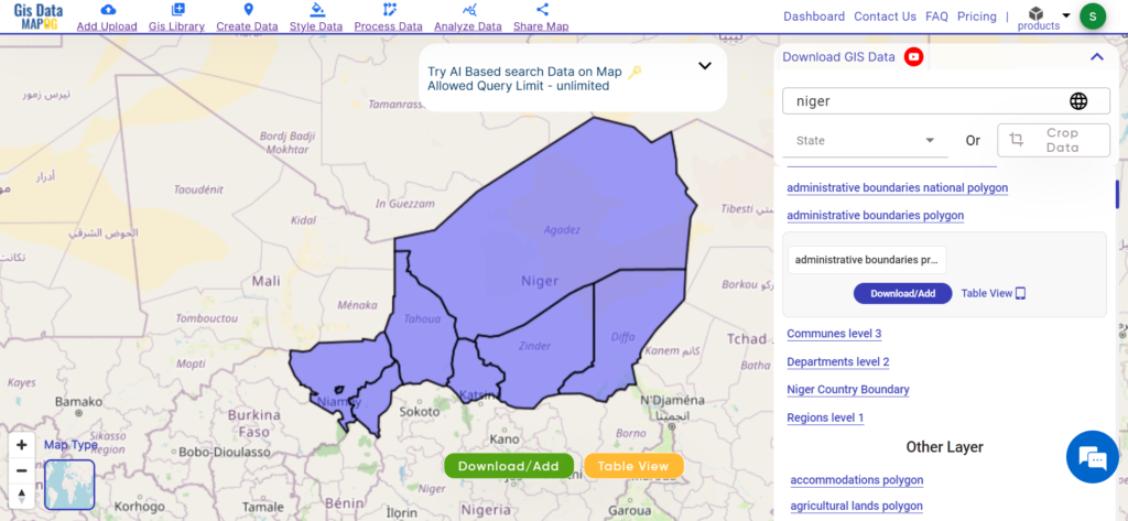
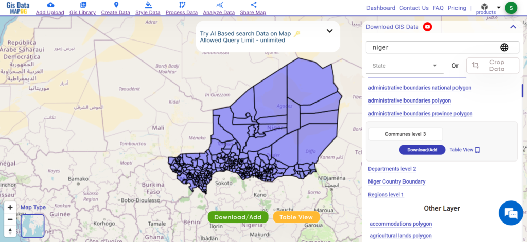
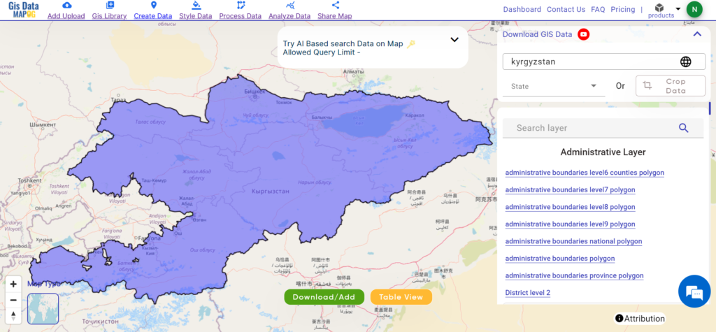
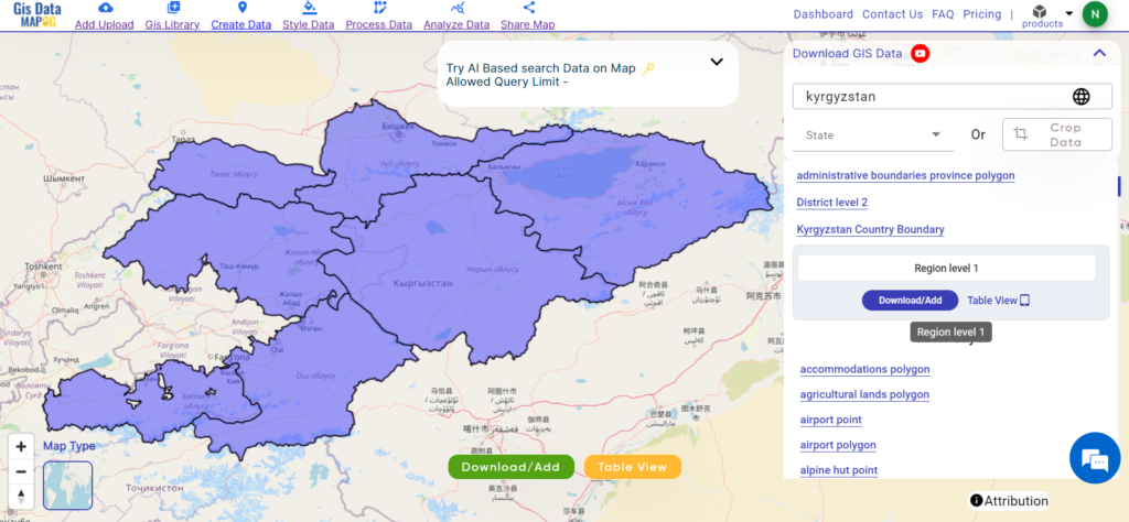
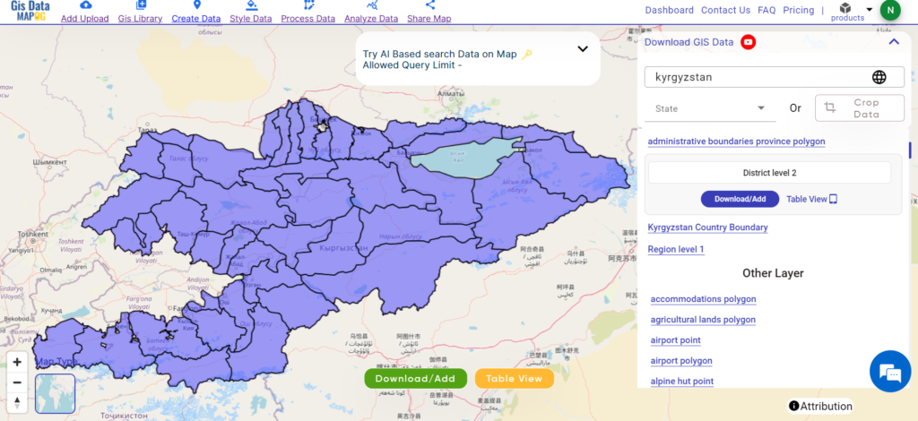
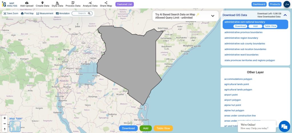
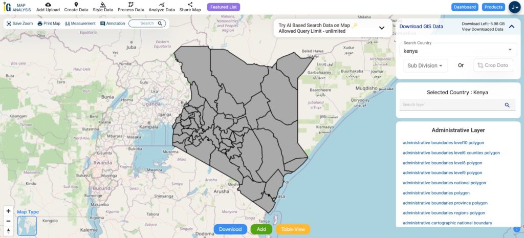
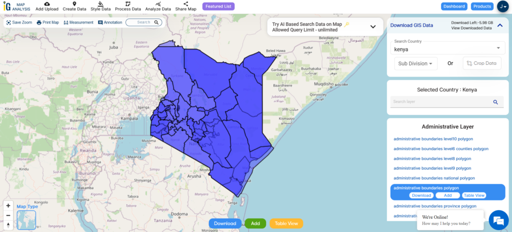
After successfully logging in with a legitimate email address, select the country you want to work with. Next, choose the specific layer you need and click on the download option. Once that’s done, pick the desired format to acquire the essential GIS data. Before proceeding with the data download, make sure to review the data table for any relevant information.
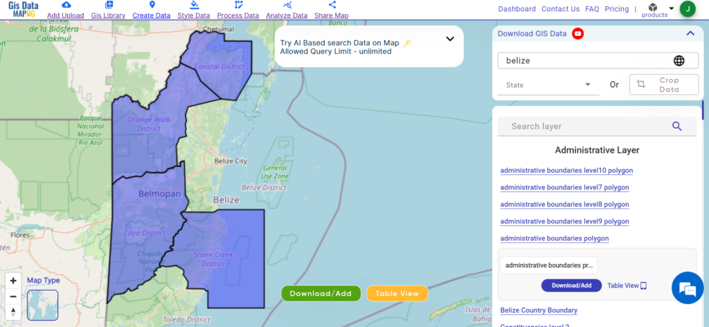
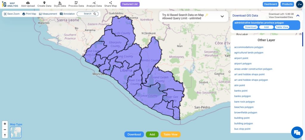
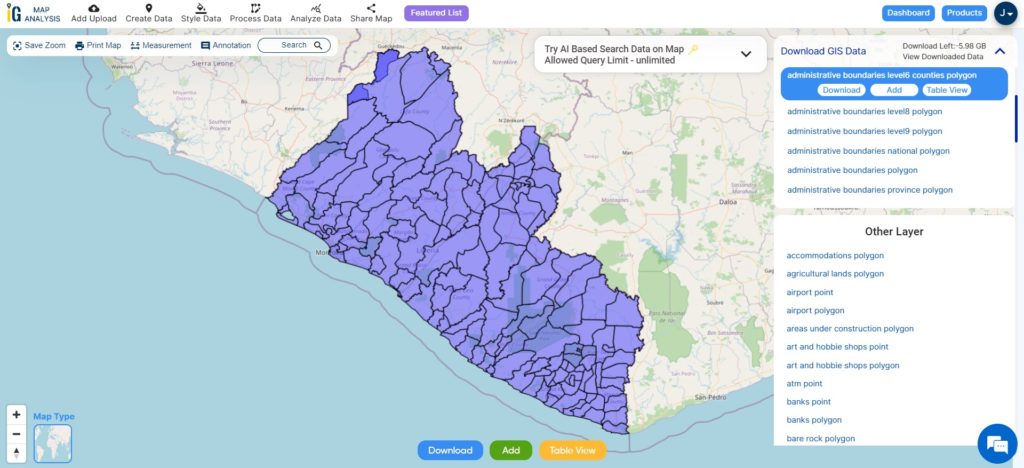
Download Ivory Coast District Shapefile Data
Districts in Ivory Coast are administrative regions, aiding local governance and services. They facilitate direct interaction between the government and communities, contributing to efficient development efforts. Please verify for recent changes.
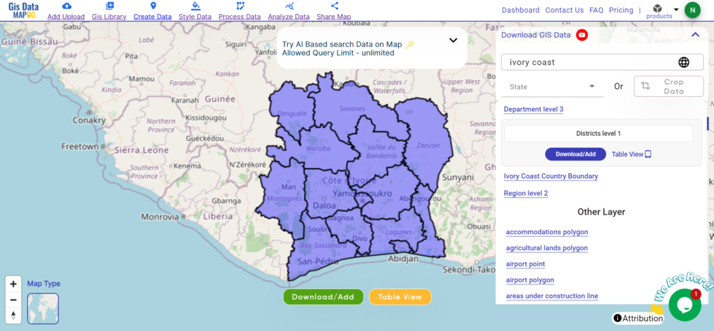
Download Ivory Coast District Boundary Shapefile
here is a list of the 14 District of Ivory Coast:
- Bas-Sassandra
- Denguele
- District Autonome D’Abidjan
- District Autonome De Yamoussoukro
- Goh-Djiboua
- Lacs
- Montagnes
- Sassandra
- Savanes
- Valle Du Bandama
- Woroba
- Zanzan
- Lagunes
- Comoe
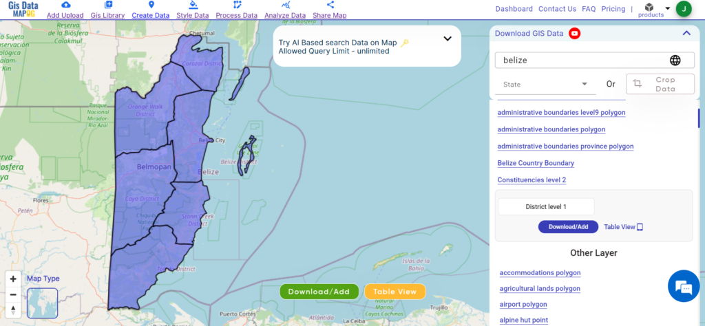
Other GIS Data:
- Download Ivory Coast Airport Polygon Shapefile
- Download Ivory Coast bank Point Shapefile
- Download Ivory Coast Road Lines Shapefile
- Download Ivory Coast Rivers Shape file
Above all links are provided for GIS data of Belize if you are looking for any specific data, please write us on support@mapog.com
Download Shapefile for the following:
- World Countries Shapefile
- Australia
- Argentina
- Austria
- Belgium
- Brazil
- Canada
- Denmark
- Fiji
- Finland
- Germany
- Greece
- India
- Indonesia
- Ireland
- Italy
- Japan
- Kenya
- Lebanon
- Madagascar
- Malaysia
- Mexico
- Mongolia
- Netherlands
- New Zealand
- Nigeria
- Papua New Guinea
- Philippines
- Poland
- Russia
- Singapore
- South Africa
- South Korea
- Spain
- Switzerland
- Tunisia
- United Kingdom Shapefile
- United States of America
- Vietnam
- Croatia
- Chile
- Norway
- Maldives
- Bhutan
- Colombia
- Libya
- Comoros
- Hungary
- Laos
- Estonia
- Iraq
- Portugal
- Azerbaijan
- Macedonia
- Romania
- Peru
- Marshall Islands
- Slovenia
- Nauru
- Guatemala
- El Salvador
- Afghanistan
- Cyprus
- Syria
- Slovakia
- Luxembourg
- Jordan
- Armenia
- Haiti And Dominican Republic
- Kiribati
- Swaziland
- Solomon Islands
- North Korea
- Sao Tome And Principe
- Guyana
- Serbia
- Senegal And Gambia
- Faroe Islands
- Guernsey Jersey
- Monaco
- Tajikistan
- Pitcairn
Disclaimer: If you find any shapefile data of country provided is incorrect do contact us or comment below, so that we will correct the same in our system as well we will try to correct the same in OpenStreetMap.