Download Chile Administrative Boundary Shapefiles – Regional State Administrative Agencies, Municipalities & more

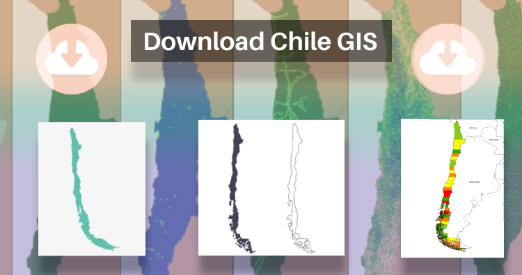
That’s fantastic news! GIS enthusiasts will definitely appreciate the availability of GIS data for over 100 new countries. If you’re interested in obtaining shapefiles of the important administrative divisions of Chile, you can find the download links for various formats such as KML, GeoJSON, and CSV on the IGISMAP website. These files will allow you to explore and analyze the geographical and administrative aspects of Chile in your GIS applications. Enjoy exploring the data!

Note:

  • All data available are in GCS datum EPSG:4326 WGS84 CRS (Coordinate Reference System).
  • You need to login for downloading the shapefile.

Download Free Shapefile Data of Chile

Chile is a long, narrow country stretching along South America’s western edge, with more than 6,000km of Pacific Ocean coastline. Santiago, its capital, sits in a valley surrounded by the Andes and Chilean Coast Range mountains. The city’s palm-lined Plaza de Armas contains the neoclassical cathedral and the National History Museum. The massive Parque Metropolitano offers swimming pools, a botanical garden and zoo.

Chile National Boundary

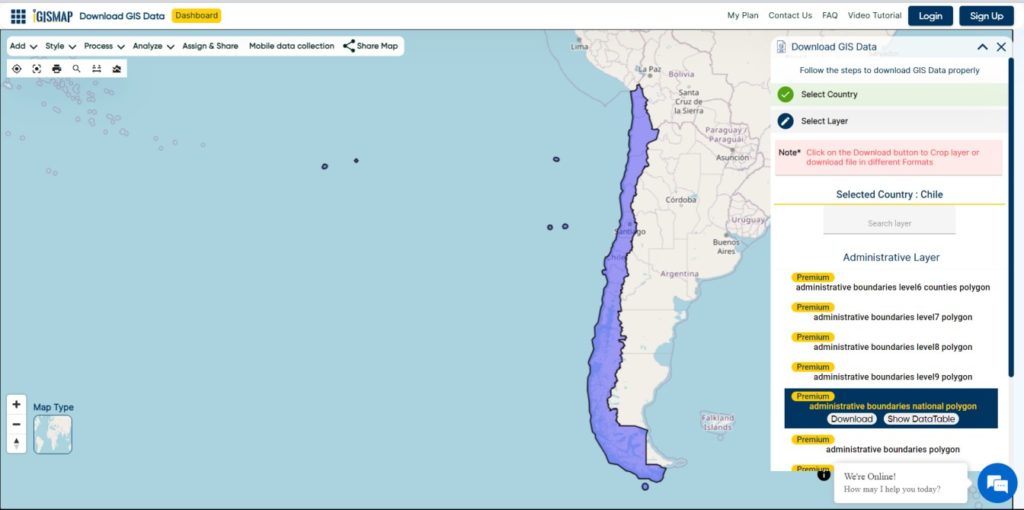
Download Chile National Boundary Shapefile

Once you click on the link, you will be redirected to the gis data of Chile, select the format and tap on download button.

Download Chile Province Shapefile Data

A province is the second-largest administrative division in Chile with 56 in total. The largest administrative division in Chile is that of a region with 16 in total.

Chile Province Boundaries Shapefile

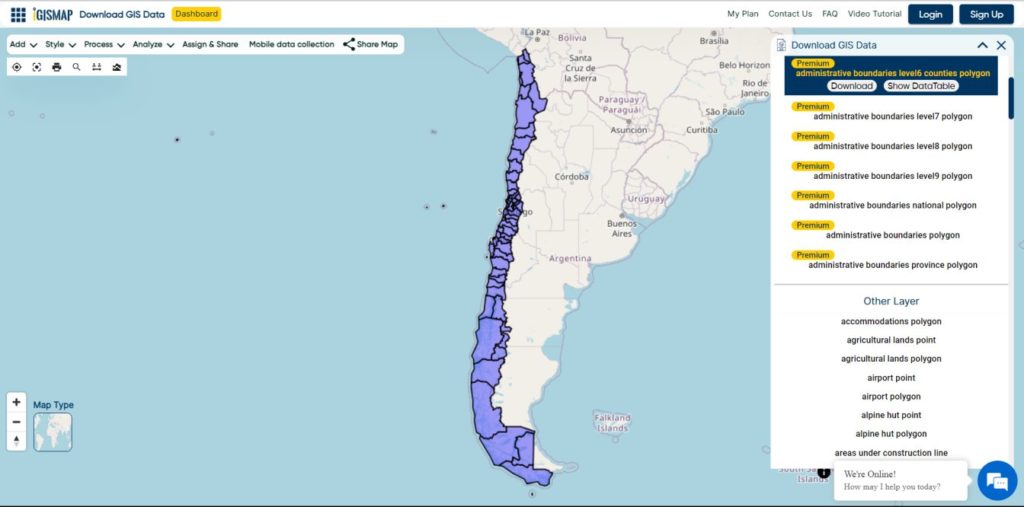
Download Chile Province Boundaries Shapefile

Download Chile Municipalities Shapefile Data

A commune is the smallest administrative subdivision in Chile. It may contain cities, towns, villages, hamlets as well as rural areas. In highly populated areas, such as Santiago, Valparaíso and Concepción, a conurbation may be broken into several communes. In sparsely populated areas, conversely, a commune may cover a substantial rural area together with several settled areas which could range from hamlets to towns or cities.

Chile Municipality Boundaries

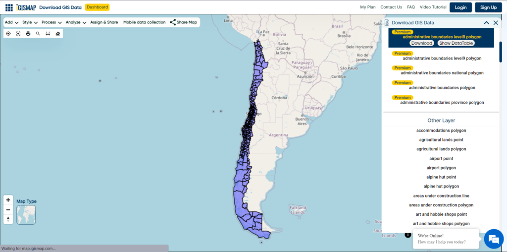
Download Chile Municipality Boundaries Shapefile

Other Administrative Boundary Data:

Download Free Shapefile for the following:

  1. World Countries Shapefile
  2. Australia
  3. Argentina
  4. Austria
  5. Belgium
  6. Brazil
  7. Canada
  8. Croatia
  9. Denmark
  10. Fiji
  11. Finland
  12. Germany
  13. Greece
  14. India
  15. Indonesia
  16. Ireland
  17. Italy
  18. Japan
  19. Kenya
  20. Lebanon
  21. Madagascar
  22. Malaysia
  23. Mexico
  24. Mongolia
  25. Netherlands
  26. New Zealand
  27. Nigeria
  28. Papua New Guinea
  29. Philippines
  30. Poland
  31. Russia
  32. Singapore
  33. South Africa
  34. South Korea
  35. Spain
  36. Switzerland
  37. Tunisia
  38. United Kingdom Shapefile
  39. United States of America
  40. Vietnam
  41. Norway
  42. Albania
  43. GCC Sates
  44. Bolivia
  45. Algeria

Disclaimer : If you find any shapefile data of country provided is incorrect do contact us or comment below, so that we will correct the same in our system as well we will try to correct the same in OpenStreetMap.

Convert Shapefile to CSV

Sometimes shapefile becomes bulky to carry from one place to another. As it contains various files as .shp, .prj, .shx, .dbf etc. On the other side CSV contains every detail in one file. So CSV can be considered as a good option when you don’t need to render data on map as polygon or polyline or point. There are various options to create CSV from a shapefile either offline or online.

CSV is comma separated value file which is one of the alternative method for storing spatial data in spreadsheet format. You can also upload the Excel file and convert it into spatial data via QGIS tool. There are also other online tools available which can directly convert the Shapefile to CSV. We will show you how easy and useful is IGISMAP for the conversion process. Following are the methods to convert Shapefile to CSV using IGISMAP Converter tool.

IGISMAP (now MAPOG) to Convert Shapefile to CSV

Go to MapOG Converter Tool Shapefile to CSV, after logging in with your registered email and password. If you are a new user, click the Sign Up button in the Login popup and register to IGISMAP by filling the details.

There are three main steps for using GIS Converter:

  • Upload the data
  • Choose the format to which it should be converted
  • Download the converted file.

Step one is to upload your Shapefile which you want to convert. You can upload the file from your system or select from the Recent Files.

Converter Tool - Upload Shapefile
Upload Shapefile

Here we using the KML file of California state boundary.

Step two is to select choose the output format of the converted file, in this case its CSV. You can also set the Coordinate Reference System of your preference. As a default CRS will set to WGS 84 (World) [EPSG:4326]. Click on the Convert File button.

Converter Tool - CSV as Output Format
Select CSV as Output Format

Your Shapefile will then get converted to CSV file after a few seconds and will be published in the map canvas. You can download the CSV file of California state boundary by clicking the Download Converted File button.

Download and Publish CSV File

The output CSV file is generated with location information represented in WKT format under the field named ‘WKT’.

You can also choose to style the layer or continue with further conversion process by clicking the Convert Another File button.

Shapefile to CSV conversion – OFF-Line (command line) Tool

For using off-line command in your system you need to install ogr2ogr. There is very simple command to convert shapefile to csv file if you dont want to install a bulky GIS tool like QGIS or ArcGIS.

I am giving a way to install GDAL on ubuntu, while the process is almost similar to install the GDAL tool in Windows, Mac or other Linux system.

For installing GDAL for Ubuntu please follow the given commands.

Shapefile to CSV conversion

After installing you can check the availability of ogr2ogr by typing ogr2ogr on terminal.

Shapefile to CSV conversion

After that you can follow the command to convert the shapefile to csv (comma separated value format file)

–> ogr2ogr -f CSV output_file_name.csv input_shp_name.shp -lco GEOMETRY=AS_WKT

The same work can be done in code-igniter or using PHP. For that you need to execute this command in shell_exec() method, which takes the command in string format and returns the output in string.

–>  $shpToCSV=”ogr2ogr -f CSV $out.csv $shp.shp -lco GEOMETRY=AS_WKT”;
–>  shell_exec($shpToCSV);

These statements are written in PHP. $ signifies the variable. Here input and output is taken from user and command is written in double quotes to convert in string. Then it is given to shell_exec() method.

Shapefile to CSV conversion – With QGIS Open source Software

If you don’t need to install any library or run online tools as you already have installed GIS software. You can convert shapefile in CSV using GIS software also. You just need to open the shapefile as vector layer and save it as CSV. For adding the vector layer tyou need to go to Layer->add vector layer and browse the shapefile. After the right click on shapefile title and save it as csv. you can also save some selected part.

Shapefile to CSV conversion

You may also look on other Conversion of Files like Shapefile to KML or Shapefile to GeoJSON or GeoJSON to TopoJSON etc.

In this way you can convert shapefile in CSV format. Hope you find tutorial of shapefile to CSV conversion is helpful for you. If you find any problem in converting GIS data in CSV format, do comment below with the problem statement. Also if you know any other tool for converting shapefile, do provide your suggestion in the provided box below.