GIS Data Download
Download Hungary Administrative Boundary Shapefiles – Regions, County and more
IGISMAP introduces Hungary's comprehensive GIS data collection, featuring administrative boundaries, regions, counties, municipalities, and more in formats like ESRI Shapefile, KML, GeoJSON,…
4 min read
→
GIS
Download Libya Administrative Boundary Shapefiles – National, Districts and more
Access Libya GIS data of administrative boundaries, national, districts, in formats - shapefile, KML, GeoJSON, CSV, KMZ
4 min read
→
 GIS
Download Maldives Administrative Boundary GIS Data – Provinces, Atolls and more
IGISMAP introduces the Maldives' GIS data collection, encompassing administrative boundaries such as national boundaries and atolls, available for download in various formats…
3 min read
→
 GIS
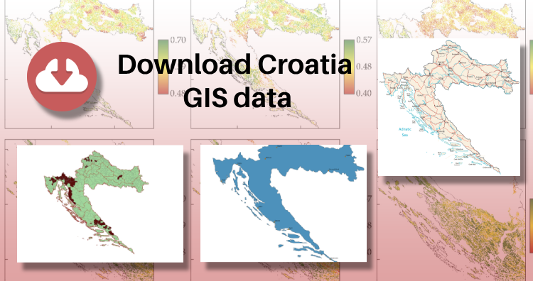
Download Croatia Administrative Boundary GIS Data – Shapefiles – County, Municipalities
IGISMAP has unveiled Croatia's GIS data collection, including shapefiles for essential administrative divisions such as counties and municipalities. Accessible in various formats…
3 min read
→
 Shapefile
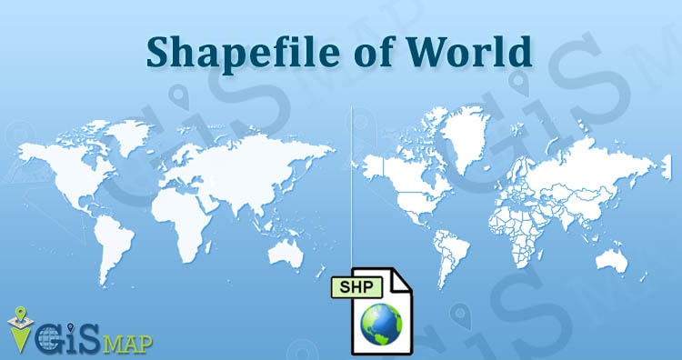
Download World GIS Data – Country Boundaries
Looking for Shapefile data of globally distributed features and boundaries for research or project, then you are at the right place. Here…
2 min read
→
 GIS
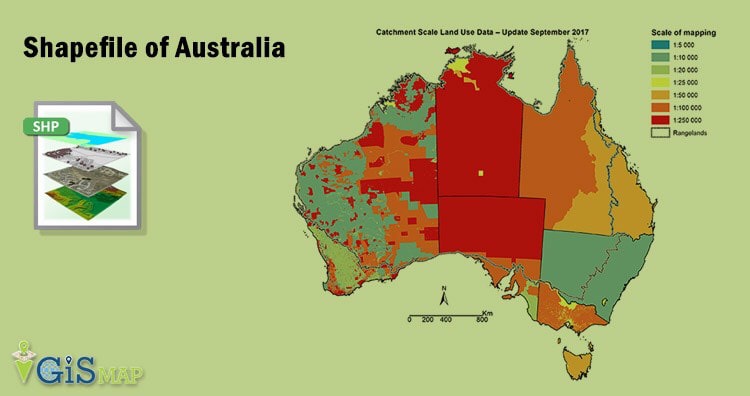
Download Australia Administrative Boundary Shapefiles – States, Local Government Area, Postal Areas and more
Hello GIS enthusiasts, IGISMAP has now published the latest GIS vector data of Australia administrative levels. Links for downloading the shapefiles of…
7 min read
→
GIS
Download Maldives Administrative Boundary GIS Data – Provinces, Atolls and more
IGISMAP introduces the Maldives' GIS data collection, encompassing administrative boundaries such as national boundaries and atolls, available for download in various formats…
3 min read
→
GIS
Download Croatia Administrative Boundary GIS Data – Shapefiles – County, Municipalities
IGISMAP has unveiled Croatia's GIS data collection, including shapefiles for essential administrative divisions such as counties and municipalities. Accessible in various formats…
3 min read
→
Shapefile
Download World GIS Data – Country Boundaries
Looking for Shapefile data of globally distributed features and boundaries for research or project, then you are at the right place. Here…
2 min read
→
GIS
Download Australia Administrative Boundary Shapefiles – States, Local Government Area, Postal Areas and more
Hello GIS enthusiasts, IGISMAP has now published the latest GIS vector data of Australia administrative levels. Links for downloading the shapefiles of…
7 min read
→