NetCDF Multidimensional data

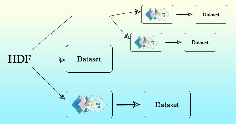
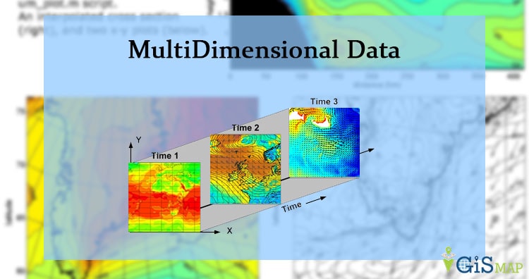
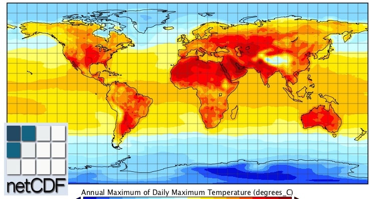
NetCDF (network Common Data Form) is multidimensional data format only supports EPSG 4326 (WGS84). Multi dimensional simply means that it can grow in all direction with time. It has some important vocabulary to defines formation of NetCDF data structure. You may also look over HDF multidimensional Data, GRIB multidimensional data and all multidimensional data. To know about NetCDF you must go through this:

  1. Dimension
  2. Variables
  3. Coordinate Variables
  4. Attributes
  5. Conventions

MultiDimensional Data

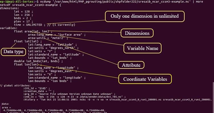
Dimensions of NetCDF Multidimensional data:

NetCDF has dimensions from which only one dimension can be Unlimited that can grow up-to any length in any direction.  These dimensions can be physical quantities as latitude, longitude, altitude and time.

Variables:

Variable are array of values of same data type in NetCDF file. A variable has a name, data type, and shape described by its list of dimensions.

Coordinate Variables:

A one-dimensional variable with same name as a dimension is called coordinate variable. We can take an example from figure above float time(time). It is associated with a dimension and one or more data variables. Typically defines a physical coordinate corresponding to that dimension.

Attributes:

NetCDF attributes stores metadata of geographic data. Most attributes provide information about a specific variable. These attributes can be identified with structure variable name:attribute name.

Attribute as Long_name shows full name of given band and Unit shows is measurement unit.

Conventions:

The conventions define metadata that provide a description of the data in each variable and their spatial and temporal properties. A convention helps users of data from different sources decide which quantities are comparable. The convention name is available in global attribute in a netCDF file as shown below.

NetCDF Multidimensional data

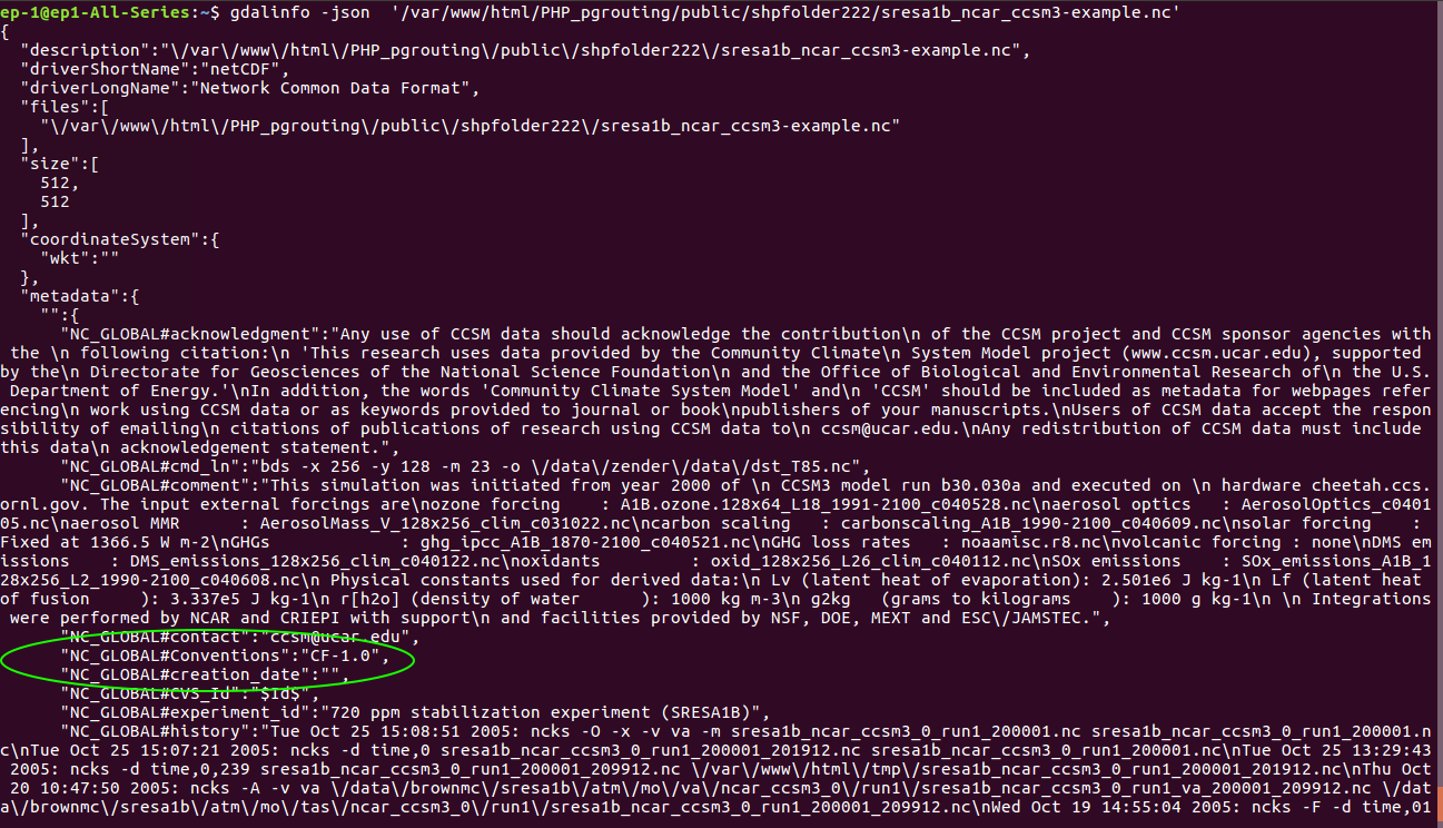
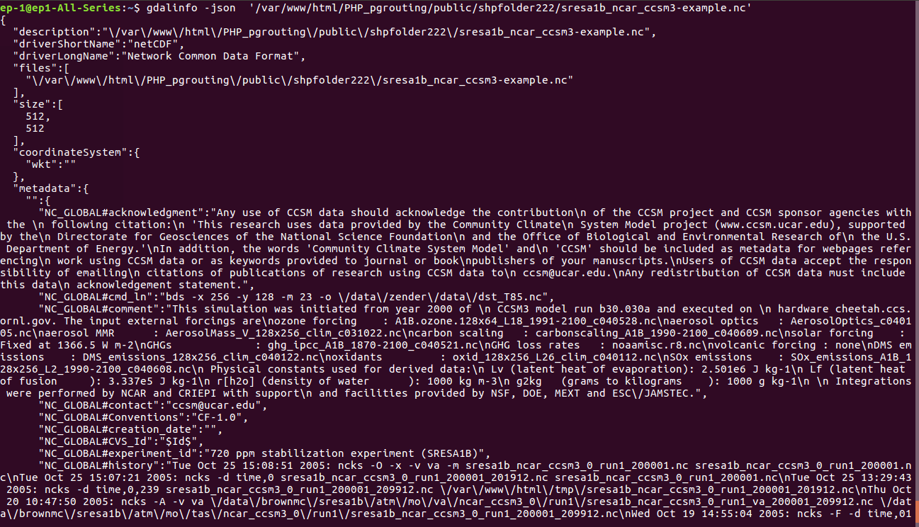
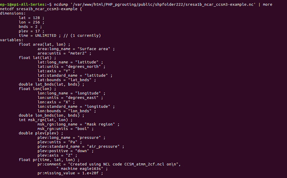
Details of NetCDF Multidimensional data:

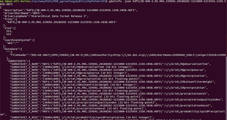
To see all these you can use GDALinfo or ncdump command.

To use gdalinfo command for having netcdf information, you need to write

–> gdalinfo -json filename.nc

NetCDF Multidimensional data

To use ncdump command for viewing information about NetCDF data, you need to write

–> ncdump filename.nc | more

NetCDF Multidimensional data

If you face any problem in understanding NetCDF multidimensional data, please let us know via comments.


HDF MultiDimensional Data

Hierarchical Data Format HDF multidimensional data, which can grow in space and time dimension. It is specially designed by National Center for Supercomputing Applications (NCSA) for storing scientific data in mosaic datasets. You may also look over GRIB, netcdf and all multidimensional data.

Here the data is stored in hierarchical format i.e. in tree like structure. It contains band information in variables. Variables may have one or more variable. Each band data in this variables may differ in size and dimension. Also each data can contain information of different regions.

 HDF Multi-Dimensional Data

HDF 4 (Hierarchical data format release 4) – HDF MultiDimensional Data

HDF supports two formats, both are completely different and NOT compatible. It supports multidimensional arrays, raster images and table data. It has some limitations as it supports multiple (arrays, table and images) data hence makes complex API.

HDF 5 (Hierarchical data format release 5)- HDF MultiDimensional Data

This format is designed to overcome the limitations of HDF 4. This structure consist of datasets and groups.

  • Groups, which are container structures which can hold datasets
  • Datasets, which are multidimensional arrays of a homogeneous type.

Get information of HDF multidimensional data bands-

As data is arranged in hierarchical format, we need to run two command to get band details, both from GDAL utility.

1. Gdalinfo- This commands gives the information about number of  subdatasets present in file. Each sub-dataset detail is stored in SUBDATASET_n_NAME metadata item. The related description is stored in SUBDATASET_n_DESC metadata item.

HDF Multi-Dimensional Data

2. Gdal_translate- The gdal_translate utility is used to import the bands or convert in desired format. Here we have converted HDF data in NetCDF format.

HDF Multi-Dimensional Data

Hope this article help you to understand HDF data format. You can also visit multidimensional data for more information. Please let us know if you require any help, by commenting in given comment box.

MultiDimensional Data – NetCDF, GRIB, HDF Format

In this article we are going to discuss about multidimensional data. The dataset comprises space (latitude ,longitude and altitude) and time. Here we can have temperature dataset as an example which spreads in all direction and increases/decreases with time.MultiDimensional Data

Multi-Dimensional data comprised of multiple dataset for specific purpose. Data can be for Atmospheric, oceanographic and earth sciences purpose. These multidimensional data can capture using satellite and generated from numerical models where data is interpolated from other data sources.

In GIS, data formats such as NetCDF, HDF and GRIB are multidimensional data. Here we can store feature and raster data in these formats.

NetCDF Multidimensional data format

NetCDF (network Common Data Form) is a data format for storing multidimensional data. This data can be temperature, humidity, pressure, wind speed and direction in both vector and raster format. Each variables can displayed through a dimension in GIS with layers or table from the netCDF file.

NetCDF is a self-describing, machine-independent data formats that support the creation, access, and sharing of array-oriented scientific data. Currently, Network common data format (NetCDF) raster types support Climate and Forecast(CF) and Cooperative Ocean/Atmosphere Research Data Service (COARDS) conventions.

MultiDimensional Data

GRIB Multidimensional data format

GRIB (General Regularly-distributed Information in Binary) is a data format stores meteorological data and forecast weather data. The GRIB raster type allows two format GRIB 1 and GRIB 2. This also stores a large number of rasters with different dimensions in mosaic images.

MultiDimensional Data

HDF Multidimensional data format

HDF (Hierarchical Data Format) is a format designed by the National Center for Supercomputing Applications (NCSA) to store scientific data. The HDF raster type data format allows to add multiple raster data in HDF4 or HDF5 format in an image mosaic. Image mosaic is merge of two or more datasets.

MultiDimensional Data

Hope this article helped you to understand Multidimensional data. You can also read NetCDF, GRIB and HDF multidimensional data in detail. We also have converted all three data in geotiff and other format.

Feel free to comment for any help and suggestions.