KML or Keyhole Markup Language is a collection of geospatial data on map and commonly used in Google Earth or google services. TIFF (also known as Tagged Image File Format) is a file format for transferring, storing, and displaying raster images. Scanned aerial photography and maps, as well as digital satellite imagery and other geographic data, can be found in this file format.
A TopoJSON file format is a format that encodes topology. TopoJSON is an extension of GeoJSON. This format contains both geospatial data (arcs) and attribute data. In contrast to other GIS formats TopoJSON uses arcs. Arcs are sequences of points, while line strings and polygons are defined as sequences of arcs.
You can convert KML to TopoJSON file using MAPOG Tool. You can also use it for other GIS data Conversion.
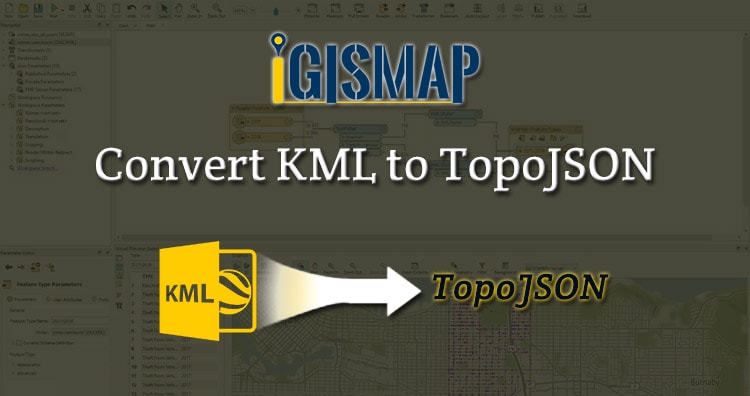
IGISMAP to Convert KML to TopoJSON
For KML to TopoJSON conversion go to MAPOG Convertor Tool, after logging in with your registered email and password. If you are a new user, click the Sign Up button in the Login popup and register to IGISMAP by filling the details.
There are three main steps for using GIS Converter:
- Upload the data
- Choose the format to which it should be converted
- Download the converted file.
Step one is to upload your KML file which you want to convert. You can upload your file from system or select from the Recent Files.

Step two is to select choose the output format of the converted file, in this case its TopoJSON. You can also set the Coordinate Reference System of your preference. As a default CRS will set to WGS 84 (World) [EPSG:4326]. Click on the Convert File.

Your KML file will then gets converted TopoJSON file after a few seconds and will be available for downloading.

You can also choose to style the layer or continue with further conversion process by clicking the Convert Another File button.
Converted Files section from the dashboard contains the list of the details of all the conversion done in your account, providing both input and output data available for download their corresponding formats.
Other GIS data Conversion
- SHP to Tiff
- SHP to DXF
- GeoJSON to GML
- KML to GeoJSON
- GML to KML
- GML to Shapefile
- KML to PDF
- Shapefile to PDF
- KMZ to CSV
- CSV to KML
- KML to DXF
- KMZ to KML
If you are facing any problem in conversion or login then please let us know by mailing at support@igismap.com or drop comment.