GIS Data Download
Download Algeria Administrative Boundary Shapefiles – National, Districts, Municipalities and more
Algeria Shapefile Download Map - Free Polygon Administrative Download. Shapefiles showing Districts , Municipalities and Town and Cities.
3 min read
→
 GIS
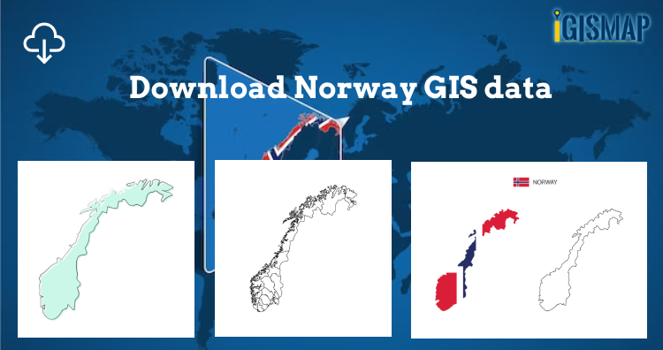
Download Norway Administrative Boundary Shapefiles – Regional State Administrative Agencies, Municipalities
Hey! GIS user here in this blog you can download Norway shapefile GIS data. IGISMAP have collection for more than 100 new…
2 min read
→
 GIS
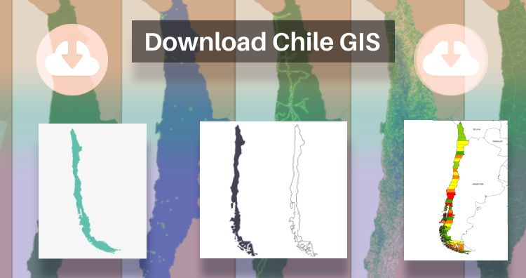
Download Chile Administrative Boundary Shapefiles – Regional State Administrative Agencies, Municipalities & more
That’s fantastic news! GIS enthusiasts will definitely appreciate the availability of GIS data for over 100 new countries. If you’re interested in…
2 min read
→
 GIS Analysis
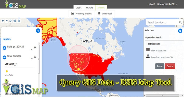
Query GIS Data – IGIS Map Tool – Now known as MAPOG
To Query GIS Data easily with IGIS map tool, we can use the Query tool. A GIS query tool, or selection tool…
2 min read
→
 GIS
Interactive Real Estate Web/App Development – Cost, Time – GIS Tool
In this blog post we describe a detailed overview of Real Estate Web App GIS tool’s Requirement, Time, Technology and functionality. All…
9 min read
→
 GIS
Geographical Information System (GIS) FAQs – GIS Interview Question
Geographical Information System (GIS) is a computer-based tool that is designed to capture, store, manipulate, analyze, manage, and present spatial or Geographic data, usually…
13 min read
→
GIS
Download Norway Administrative Boundary Shapefiles – Regional State Administrative Agencies, Municipalities
Hey! GIS user here in this blog you can download Norway shapefile GIS data. IGISMAP have collection for more than 100 new…
2 min read
→
GIS
Download Chile Administrative Boundary Shapefiles – Regional State Administrative Agencies, Municipalities & more
That’s fantastic news! GIS enthusiasts will definitely appreciate the availability of GIS data for over 100 new countries. If you’re interested in…
2 min read
→
GIS Analysis
Query GIS Data – IGIS Map Tool – Now known as MAPOG
To Query GIS Data easily with IGIS map tool, we can use the Query tool. A GIS query tool, or selection tool…
2 min read
→
GIS
Interactive Real Estate Web/App Development – Cost, Time – GIS Tool
In this blog post we describe a detailed overview of Real Estate Web App GIS tool’s Requirement, Time, Technology and functionality. All…
9 min read
→
GIS
Geographical Information System (GIS) FAQs – GIS Interview Question
Geographical Information System (GIS) is a computer-based tool that is designed to capture, store, manipulate, analyze, manage, and present spatial or Geographic data, usually…
13 min read
→