 GIS Data Download
Download Water Canal Data in Shapefile, KML, MID +15 GIS Formats
GIS Data by MAPOG is a user-friendly platform designed to simplify geospatial data access. Users can Download Water Canal Data in various…
4 min read
→
 GIS
Effortless Conservation Area Data Download with GIS Data
GIS Data by MAPOG is a user-friendly platform designed to help users download conservation area data easily. It provides access to various…
3 min read
→
 GIS Data Download
Download Hazardous Area Boundary Data for Spatial Analysis & Planning
GIS Data by MAPOG is an easy website that provides free and seamless download of different formats of GIS data, such as…
3 min read
→
 GIS Data Download
Download Solar Farms Data in Shapefile, KML, MID +15 GIS Formats
GIS Data by MAPOG is a user-friendly platform for accessing various GIS data formats like Shapefile, KML, and GeoJSON. It simplifies the…
3 min read
→
 GIS Data Download
Download Tax Offices GIS Data – Shapefile, KML, CSV, GeoJSON & More
GIS Data by MAPOG is a user-friendly platform that simplifies access to various GIS data formats, including Shapefile, KML, and GeoJSON. It…
4 min read
→
 GIS Data Download
Download Hotel GIS Data in Shapefile, KML, and GeoJSON – Easy & Accurate Mapping
GIS Data by MAPOG is a user-friendly platform offering access to a wide range of GIS data formats like Shapefile, KML, and…
4 min read
→
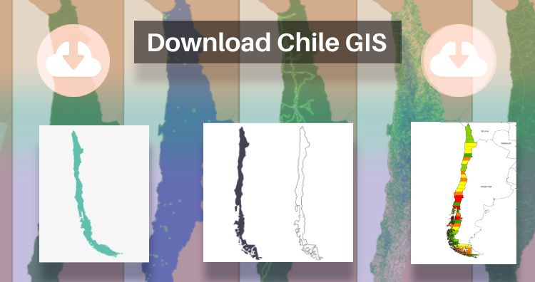 GIS
Download Chile Administrative Boundary Shapefiles – Regional State Administrative Agencies, Municipalities & more
That’s fantastic news! GIS enthusiasts will definitely appreciate the availability of GIS data for over 100 new countries. If you’re interested in…
2 min read
→