 GIS
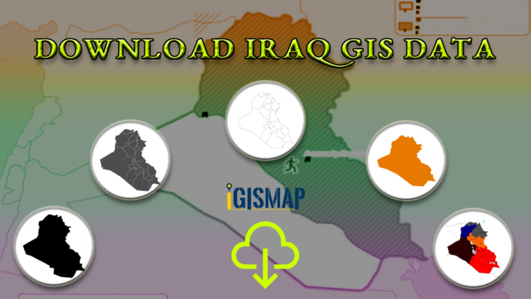
Download Iraq Administrative Boundary GIS Data – governorates Districts and more
Download Iraq's administrative boundary GIS data, covering governorates and districts. Elevate your mapping projects with comprehensive GIS data sets.
3 min read
→
 GIS
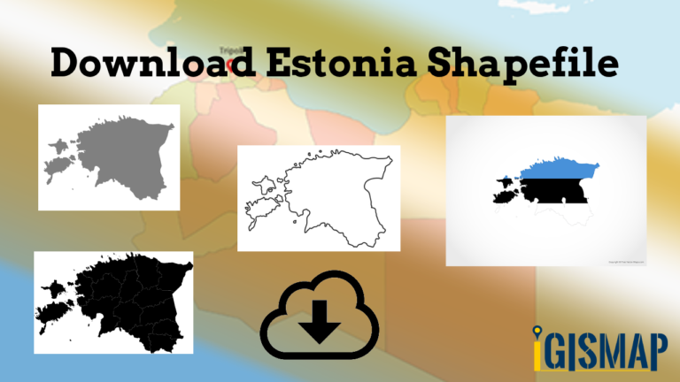
Download Estonia Administrative Boundary Shapefiles – National , Counties, Villages and More
Download Shapefile Maps –Estonia National Boundary, Estonia Counties, Municipalities, Estonia Villages and Districts Shapefile.
2 min read
→
 GIS
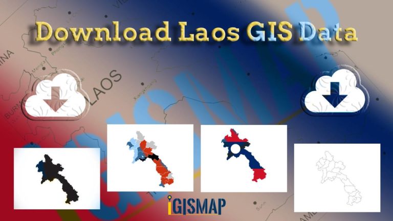
Download Laos Administrative Boundary Shapefiles – provinces, districts and more
Calling all GIS enthusiasts! IGISMAP welcomes you to a remarkable journey. Discover the power of mapping with Laos's administrative boundary shapefiles, featuring…
3 min read
→
GIS
Download Libya Administrative Boundary Shapefiles – National, Districts and more
Access Libya GIS data of administrative boundaries, national, districts, in formats - shapefile, KML, GeoJSON, CSV, KMZ
4 min read
→
 Convert GIS Data
GeoJSON to GeoTIFF – Vector to Raster Conversion
GeoJSON is an open standard geospatial data interchange format that represents simple geographic features and their non-spatial attributes. It is based on…
2 min read
→
 GeoJSON
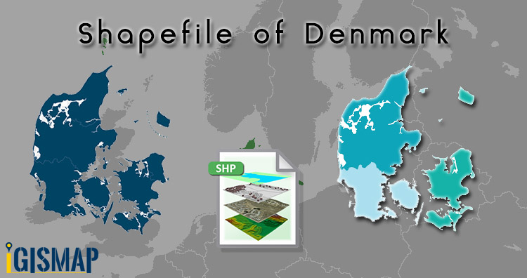
Download Denmark Administrative Boundary Shapefiles – Regions, Municipalities, Postal Areas and More
Hello GIS enthusiasts, IGISMAP has now published the latest GIS vector data of Denmark administrative levels. Links for downloading the shapefiles of…
2 min read
→
 Convert GIS Data
Convert KML to GeoJSON
Have you extracted and downloaded KML file from Google Earth or Google map and want to render it with libraries supporting GeoJSON file…
2 min read
→
 GIS
Adding Multiple Map Layers – Hide Show layer using Leaflet js
This article is about how you can make visible and invisible your layer with the help of checkbox on any base map.…
3 min read
→
 GIS
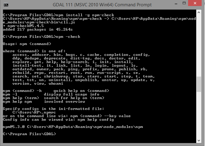
Convert GeoJSON to TopoJSON – GIS
Convert GeoJSON to TopoJSON. GeoJSON is an open standard format designed for representing simple geographical features, along with their non-spatial attributes, based…
2 min read
→
 GIS
Add or Load GeoJSON file – Point, Polyline or Polygon map – Leaflet js
Are you looking to create a map interactive application to locate markers with points, or to highlight an area by polygon or…
4 min read
→