i
GIS
MAP
Home
Book a Meeting
Blogs
Login / Register
Tag
Tag: Geojson
181 posts
GIS
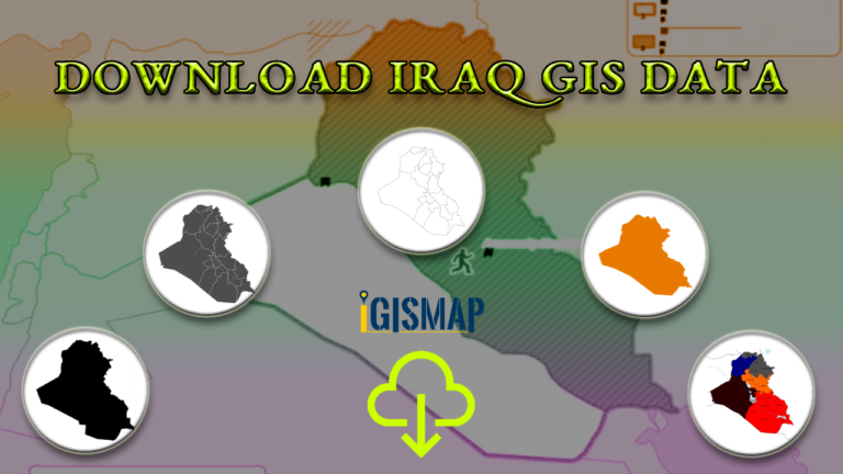
Download Iraq Administrative Boundary GIS Data – governorates Districts and more
Download Iraq's administrative boundary GIS data, covering governorates and districts. Elevate your mapping projects with comprehensive GIS data sets.
3 min read
→
GIS
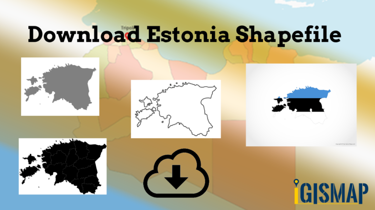
Download Estonia Administrative Boundary Shapefiles – National , Counties, Villages and More
Download Shapefile Maps –Estonia National Boundary, Estonia Counties, Municipalities, Estonia Villages and Districts Shapefile.
2 min read
→
GIS
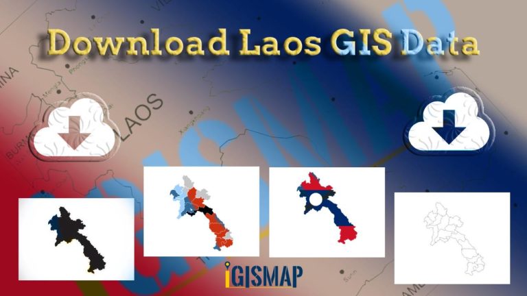
Download Laos Administrative Boundary Shapefiles – provinces, districts and more
Calling all GIS enthusiasts! IGISMAP welcomes you to a remarkable journey. Discover the power of mapping with Laos's administrative boundary shapefiles, featuring…
3 min read
→
GIS
Download Libya Administrative Boundary Shapefiles – National, Districts and more
Access Libya GIS data of administrative boundaries, national, districts, in formats - shapefile, KML, GeoJSON, CSV, KMZ
4 min read
→
Convert GIS Data
GeoJSON to GeoTIFF – Vector to Raster Conversion
GeoJSON is an open standard geospatial data interchange format that represents simple geographic features and their non-spatial attributes. It is based on…
2 min read
→
GeoJSON
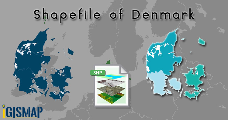
Download Denmark Administrative Boundary Shapefiles – Regions, Municipalities, Postal Areas and More
Hello GIS enthusiasts, IGISMAP has now published the latest GIS vector data of Denmark administrative levels. Links for downloading the shapefiles of…
2 min read
→
Convert GIS Data
Convert KML to GeoJSON
Have you extracted and downloaded KML file from Google Earth or Google map and want to render it with libraries supporting GeoJSON file…
2 min read
→
GIS
Adding Multiple Map Layers – Hide Show layer using Leaflet js
This article is about how you can make visible and invisible your layer with the help of checkbox on any base map.…
3 min read
→
GIS
Convert GeoJSON to TopoJSON – GIS
Convert GeoJSON to TopoJSON. GeoJSON is an open standard format designed for representing simple geographical features, along with their non-spatial attributes, based…
2 min read
→
GIS
Add or Load GeoJSON file – Point, Polyline or Polygon map – Leaflet js
Are you looking to create a map interactive application to locate markers with points, or to highlight an area by polygon or…
4 min read
→
Posts pagination
‹
1
…
17
18
19
›
Exit mobile version
We use cookies to ensure that we give you the best experience on our website. If you continue to use this site we will assume that you are happy with it.
Ok