GIS
Download Palau Administrative Boundary GIS Data – National , Regions and more
download-palau-administrative-boundary-gis-data-national-regions-and-more
2 min read
→
 GIS
Download Tokelau Administrative Boundary Shapefiles – National , Atolls and More
download-tokelau-administrative-boundary-shapefiles-national-atolls-and-more
2 min read
→
 GIS
Download Paraguay Administrative Boundary GIS Data – Regions , Departments and more
download-paraguay-administrative--province-departments-and-more
2 min read
→
 GIS Data Download
Download Armenia Administrative Boundary Shapefile – Provinces, Districts and more
Unlock the potential of mapping! MAPOG introduces a unique opportunity: download Armenia's administrative boundary shapefile, covering provinces, districts, and more. Elevate your…
4 min read
→
 GIS
Download Peru Administrative Boundary Shapefiles – National, Regions, Province, Districts and More
Download Peru administrative boundaries shapefiles Peru National , regions , provinces , districts and more.
2 min read
→
 GIS Data Download
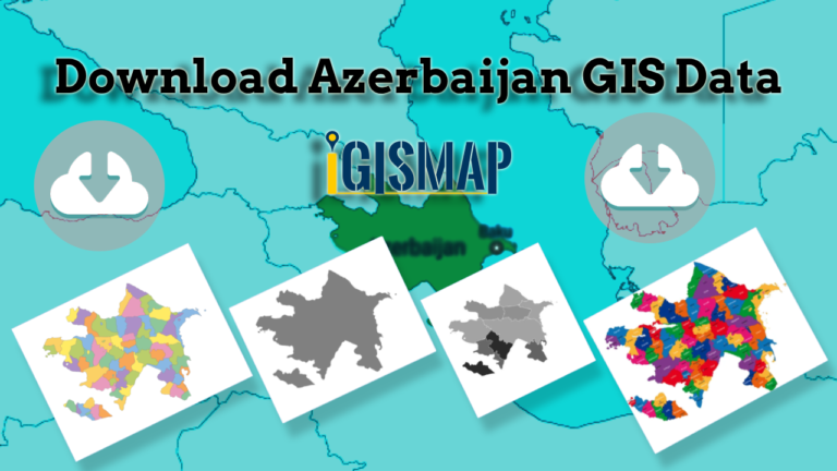
Download Azerbaijan Administrative Boundary Shapefile – Regions, Districts and more
Step into the world of mapping possibilities! IGISMAP offers an exclusive chance: download Azerbaijan's administrative boundary shapefile, encompassing regions, districts, and more.…
4 min read
→
GIS Data Download
Download Hungary Administrative Boundary Shapefiles – Regions, County and more
IGISMAP introduces Hungary's comprehensive GIS data collection, featuring administrative boundaries, regions, counties, municipalities, and more in formats like ESRI Shapefile, KML, GeoJSON,…
4 min read
→
 GIS
Download Maldives Administrative Boundary GIS Data – Provinces, Atolls and more
IGISMAP introduces the Maldives' GIS data collection, encompassing administrative boundaries such as national boundaries and atolls, available for download in various formats…
3 min read
→
 GIS
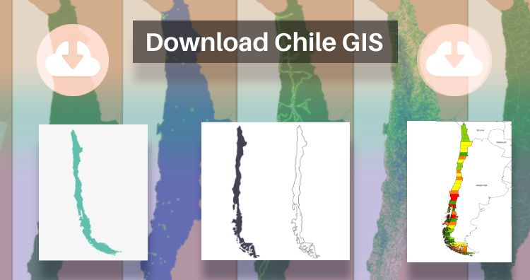
Download Chile Administrative Boundary Shapefiles – Regional State Administrative Agencies, Municipalities & more
That’s fantastic news! GIS enthusiasts will definitely appreciate the availability of GIS data for over 100 new countries. If you’re interested in…
2 min read
→
 GIS
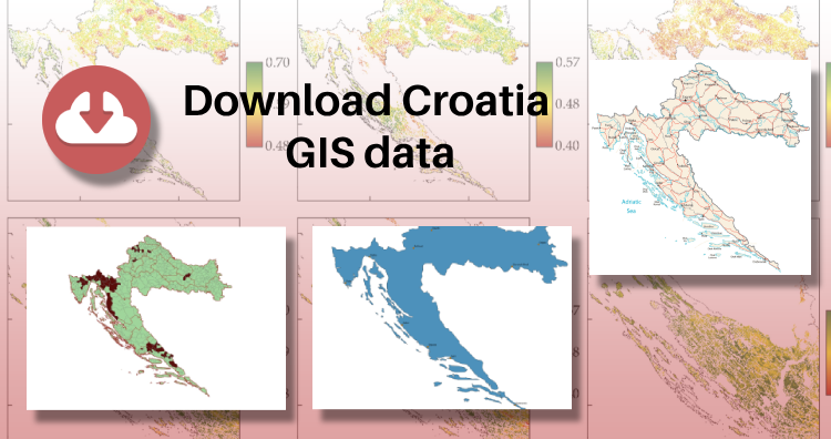
Download Croatia Administrative Boundary GIS Data – Shapefiles – County, Municipalities
IGISMAP has unveiled Croatia's GIS data collection, including shapefiles for essential administrative divisions such as counties and municipalities. Accessible in various formats…
3 min read
→
GIS
Download Tokelau Administrative Boundary Shapefiles – National , Atolls and More
download-tokelau-administrative-boundary-shapefiles-national-atolls-and-more
2 min read
→
GIS
Download Paraguay Administrative Boundary GIS Data – Regions , Departments and more
download-paraguay-administrative--province-departments-and-more
2 min read
→
GIS Data Download
Download Armenia Administrative Boundary Shapefile – Provinces, Districts and more
Unlock the potential of mapping! MAPOG introduces a unique opportunity: download Armenia's administrative boundary shapefile, covering provinces, districts, and more. Elevate your…
4 min read
→
GIS
Download Peru Administrative Boundary Shapefiles – National, Regions, Province, Districts and More
Download Peru administrative boundaries shapefiles Peru National , regions , provinces , districts and more.
2 min read
→
GIS Data Download
Download Azerbaijan Administrative Boundary Shapefile – Regions, Districts and more
Step into the world of mapping possibilities! IGISMAP offers an exclusive chance: download Azerbaijan's administrative boundary shapefile, encompassing regions, districts, and more.…
4 min read
→
GIS Data Download
Download Hungary Administrative Boundary Shapefiles – Regions, County and more
IGISMAP introduces Hungary's comprehensive GIS data collection, featuring administrative boundaries, regions, counties, municipalities, and more in formats like ESRI Shapefile, KML, GeoJSON,…
4 min read
→
GIS
Download Maldives Administrative Boundary GIS Data – Provinces, Atolls and more
IGISMAP introduces the Maldives' GIS data collection, encompassing administrative boundaries such as national boundaries and atolls, available for download in various formats…
3 min read
→
GIS
Download Chile Administrative Boundary Shapefiles – Regional State Administrative Agencies, Municipalities & more
That’s fantastic news! GIS enthusiasts will definitely appreciate the availability of GIS data for over 100 new countries. If you’re interested in…
2 min read
→
GIS
Download Croatia Administrative Boundary GIS Data – Shapefiles – County, Municipalities
IGISMAP has unveiled Croatia's GIS data collection, including shapefiles for essential administrative divisions such as counties and municipalities. Accessible in various formats…
3 min read
→