Download Estonia Administrative Boundary Shapefiles – National , Counties, Villages and More

Download Shapefile Maps –Estonia National Boundary, Estonia Counties, Municipalities, Estonia Villages and Districts Shapefile.

Great news for all GIS admirers. IGISMAP have recently published the GIS data collection for more than 100 new countries. Currently we hold GIS data, covering 150+ countries with 150+ datasets available for each nation. Our data provides precise information on administrative divisions and various geographic features like rivers, roads, and airports. Accessing this valuable resource is easy through two tools: Download GIS Data and Add GIS Data. You can download data in different formats such as Shapefile, KML, GeoJSON, or CSV. To learn more about the Add GIS Data tool, check out our article “Add GIS data from IGISMap GIS data collection.” This article will walk you through downloading administrative-level GIS data for Estonia using the Download GIS Data tool. Experience a seamless geospatial journey with IGISMAP as your trusted partner!

Note:

  • All data available are in GCS datum EPSG:4326 WGS84 CRS (Coordinate Reference System).
  • You need to login for downloading the shapefile.

Download Free Shapefile Data of Estonia

Between 57.3 and 59.5 latitude and 21.5 and 28.1 longitude, Estonia lies on the eastern coast of the Baltic Sea on the level northwestern part of the rising East European Platform. Estonia’s continental mainland is bordered to the north by the Gulf of Finland (part of the Baltic Sea) across from Finland, to the east by Lake Peipus and Russia, and to the south by Latvia. Besides the part of the European continent, Estonian territory also includes the larger islands of Saaremaa and Hiiumaa, and over 2,200 other islands and islets in the Baltic Sea, off the western and northern shores of the country’s mainland. Average elevation in Estonia reaches 50 m (164 ft).

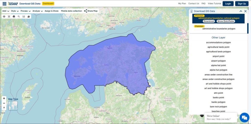
Estonia National Boundary

Download Estonia National Boundary Shapefile

Download Estonia Counties Shapefile Data

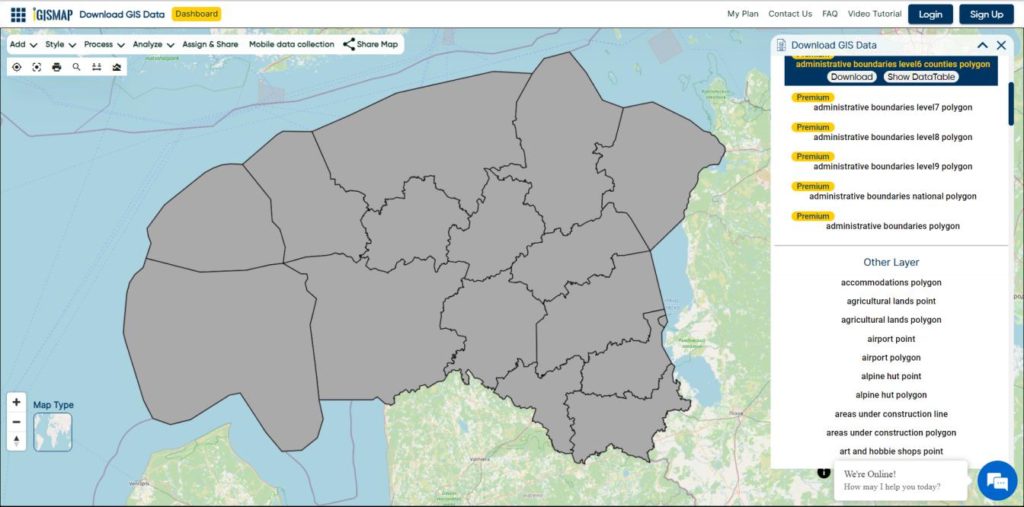
Counties (Estonian: maakond, plural maakonnad) are the state administrative subdivisions of Estonia. Estonian territory is composed of 15 counties, including 13 on the mainland and 2 on islands.

Estonia Counties Boundaries

Download Estonia Counties Boundaries Shapefile

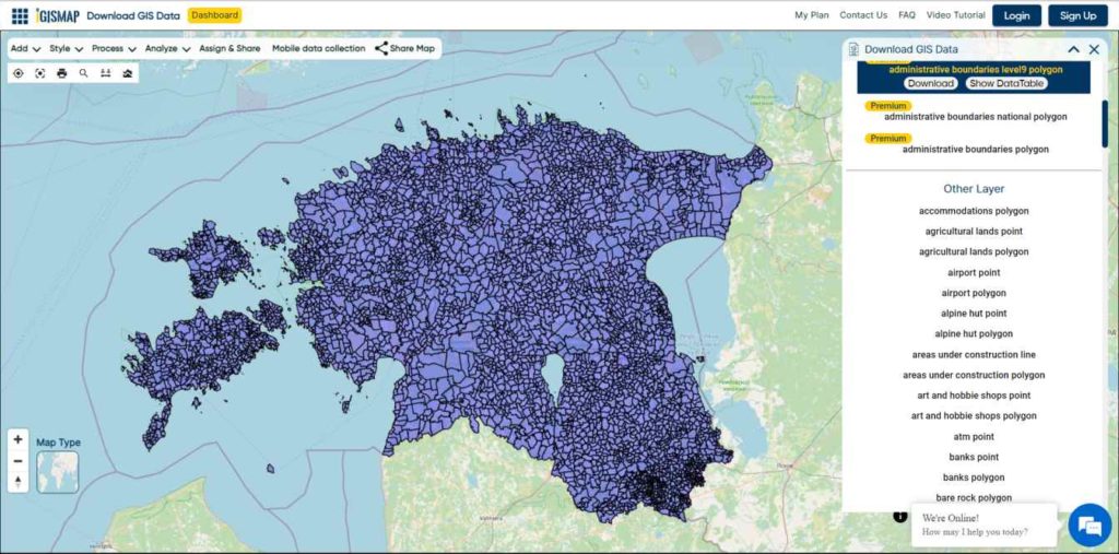
Download Estonia Villages Shapefile Data

Free Shapefile of Villages in Estonia.

Estonia Villages Boundaries

Download Estonia Villages Boundaries Shapefile

Other Administrative Boundary Data:

Other GIS Data:

Download Free Shapefile for the following:

  1. World Countries Shapefile
  2. Australia
  3. Argentina
  4. Austria
  5. Belgium
  6. Brazil
  7. Canada
  8. Denmark
  9. Fiji
  10. Finland
  11. Germany
  12. Greece
  13. India
  14. Indonesia
  15. Ireland
  16. Italy
  17. Japan
  18. Kenya
  19. Lebanon
  20. Madagascar
  21. Malaysia
  22. Mexico
  23. Mongolia
  24. Netherlands
  25. New Zealand
  26. Nigeria
  27. Papua New Guinea
  28. Philippines
  29. Poland
  30. Russia
  31. Singapore
  32. South Africa
  33. South Korea
  34. Spain
  35. Switzerland
  36. Tunisia
  37. United Kingdom Shapefile
  38. United States of America
  39. Vietnam
  40. Norway
  41. Chile
  42. Croatia

Disclaimer : If you find any shapefile data of country provided is incorrect do contact us or comment below, so that we will correct the same in our system as well we will try to correct the same in OpenStreetMap.
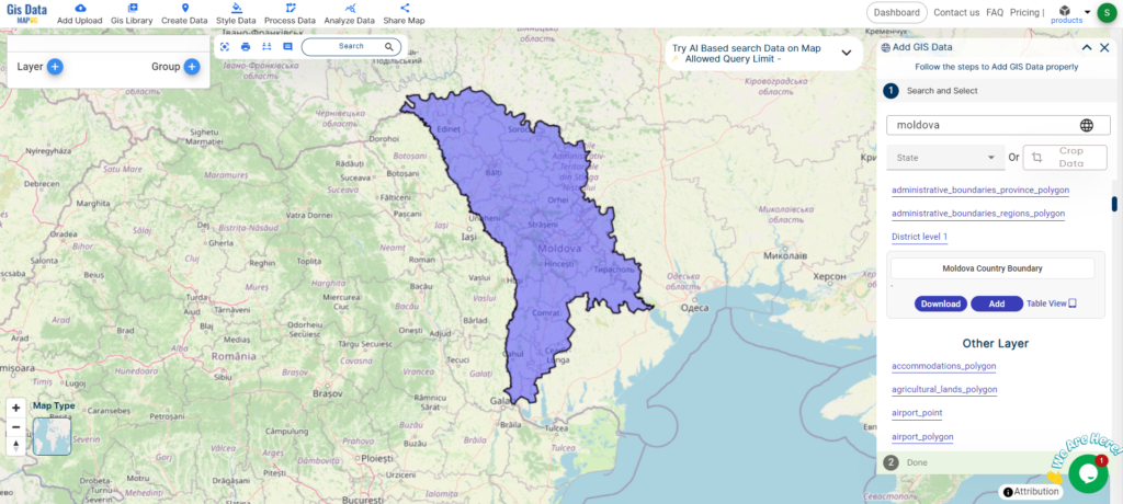
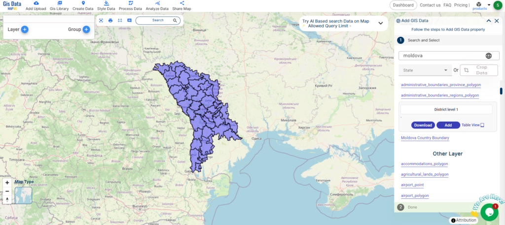
Download Chile Administrative Boundary Shapefiles – Regional State Administrative Agencies, Municipalities & more

That’s fantastic news! GIS enthusiasts will definitely appreciate the availability of GIS data for over 100 new countries. If you’re interested in obtaining shapefiles of the important administrative divisions of Chile, you can find the download links for various formats such as KML, GeoJSON, and CSV on the IGISMAP website. These files will allow you to explore and analyze the geographical and administrative aspects of Chile in your GIS applications. Enjoy exploring the data!

Note:

  • All data available are in GCS datum EPSG:4326 WGS84 CRS (Coordinate Reference System).
  • You need to login for downloading the shapefile.

Download Free Shapefile Data of Chile

Chile is a long, narrow country stretching along South America’s western edge, with more than 6,000km of Pacific Ocean coastline. Santiago, its capital, sits in a valley surrounded by the Andes and Chilean Coast Range mountains. The city’s palm-lined Plaza de Armas contains the neoclassical cathedral and the National History Museum. The massive Parque Metropolitano offers swimming pools, a botanical garden and zoo.

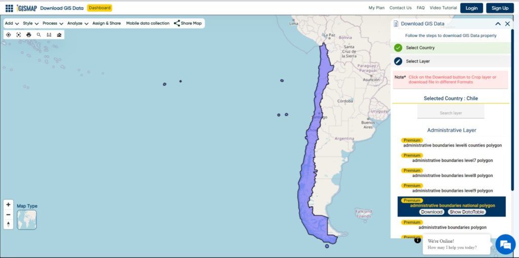
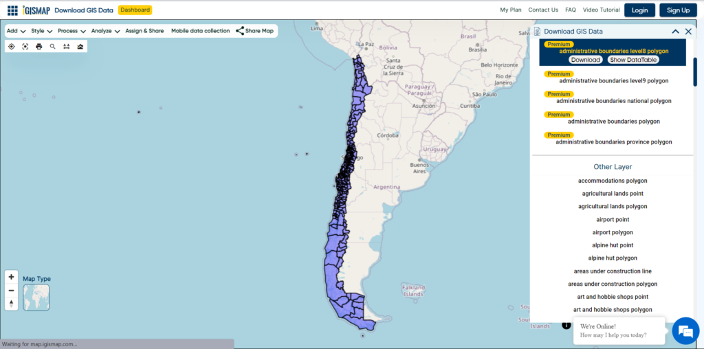
Chile National Boundary

Download Chile National Boundary Shapefile

Once you click on the link, you will be redirected to the gis data of Chile, select the format and tap on download button.

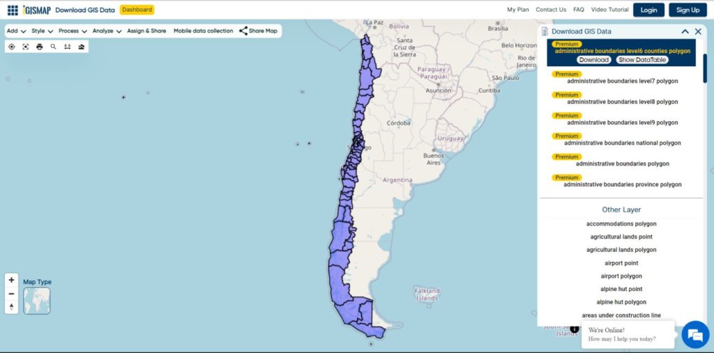
Download Chile Province Shapefile Data

A province is the second-largest administrative division in Chile with 56 in total. The largest administrative division in Chile is that of a region with 16 in total.

Chile Province Boundaries Shapefile

Download Chile Province Boundaries Shapefile

Download Chile Municipalities Shapefile Data

A commune is the smallest administrative subdivision in Chile. It may contain cities, towns, villages, hamlets as well as rural areas. In highly populated areas, such as Santiago, Valparaíso and Concepción, a conurbation may be broken into several communes. In sparsely populated areas, conversely, a commune may cover a substantial rural area together with several settled areas which could range from hamlets to towns or cities.

Chile Municipality Boundaries

Download Chile Municipality Boundaries Shapefile

Other Administrative Boundary Data:

Download Free Shapefile for the following:

  1. World Countries Shapefile
  2. Australia
  3. Argentina
  4. Austria
  5. Belgium
  6. Brazil
  7. Canada
  8. Croatia
  9. Denmark
  10. Fiji
  11. Finland
  12. Germany
  13. Greece
  14. India
  15. Indonesia
  16. Ireland
  17. Italy
  18. Japan
  19. Kenya
  20. Lebanon
  21. Madagascar
  22. Malaysia
  23. Mexico
  24. Mongolia
  25. Netherlands
  26. New Zealand
  27. Nigeria
  28. Papua New Guinea
  29. Philippines
  30. Poland
  31. Russia
  32. Singapore
  33. South Africa
  34. South Korea
  35. Spain
  36. Switzerland
  37. Tunisia
  38. United Kingdom Shapefile
  39. United States of America
  40. Vietnam
  41. Norway
  42. Albania
  43. GCC Sates
  44. Bolivia
  45. Algeria

Disclaimer : If you find any shapefile data of country provided is incorrect do contact us or comment below, so that we will correct the same in our system as well we will try to correct the same in OpenStreetMap.
Download Philippines Administrative Boundary Shapefiles – Regions Provinces, Municipalities and more

Hello GIS enthusiasts, IGISMAP has now published the latest GIS vector data of Philippines administrative levels. Links for downloading the shapefiles of the important administrative divisions of Philippines are provided in the following. You can also download these data in KML, GeoJSON or CSV formats. 

Note:

  • All data available are in GCS datum EPSG:4326 WGS84 CRS (Coordinate Reference System).
  • You need to login for downloading the shapefile.

Download Free Shapefile Data of Philippines

Philippines officially the Republic of the Philippines is an archipelagic country in Southeast Asia. It is situated in the western Pacific Ocean and consists of around 7,641 islands that are broadly categorized under three main geographical divisions from north to south: Luzon, Visayas, and Mindanao. The Philippines is bounded by the South China Sea to the west, the Philippine Sea to the east, and the Celebes Sea to the southwest. It shares maritime borders with Taiwan to the north, Japan to the northeast, Palau to the east and southeast, Indonesia to the south, Malaysia to the southwest, Vietnam to the west, and China to the northwest.

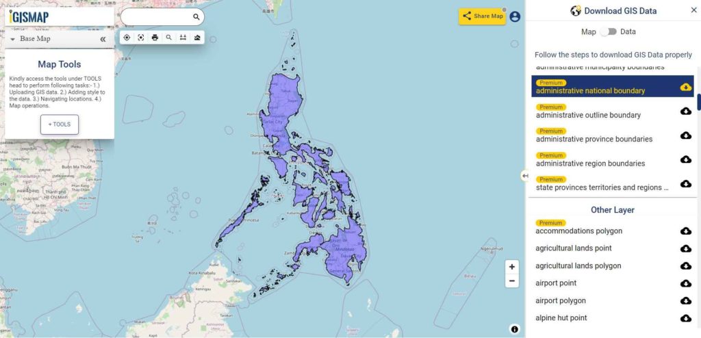
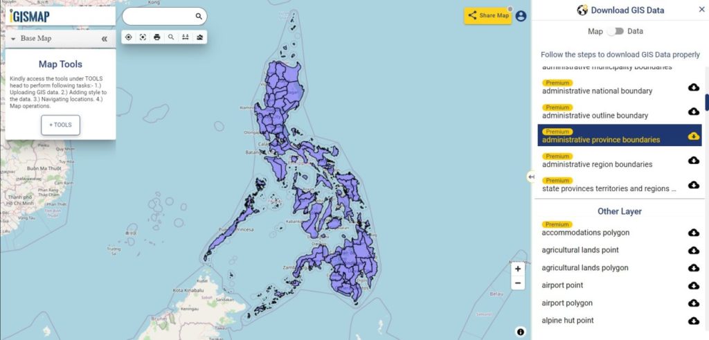
Philippines National Boundary

Download Philippines National Outline Boundary Shapefile

Download Philippines Regions Shapefile Data

Regions are the primary division of Philippines used to serve to coordinate planning and organize national government services across multiple local government units. Philippines is divided into 17 region. Philippines is divided into 17 regions as listed below:

  • Autonomous Region in Muslim Mindanao
  • Bicol Region
  • Cagayan Valley
  • Calabrazon
  • Caraga
  • Central Luzon
  • Central Visayas
  • Cordillera Administrative Region
  • Davao
  • Eastern Visayas
  • Ilocus Region
  • Metro Manila
  • Mimaropa
  • Northern Mindanao
  • Soccsksargen
  • Western Visayas
  • Zamboanga  Peninsula
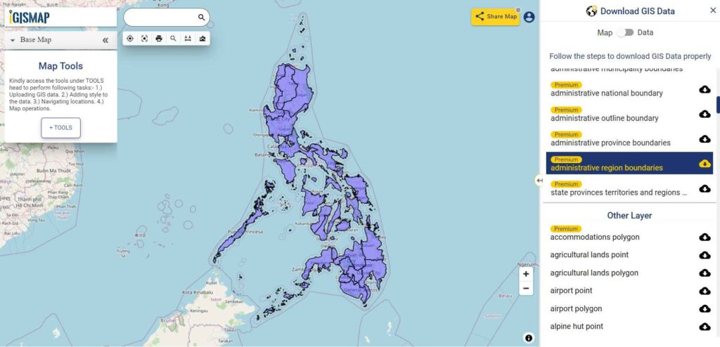
Philippines Region Boundaries

Download Philippines Regions Boundaries Shapefile

Download Philippines Provinces Shapefile Data

Following GIS Data of contains 87 province level division boundaries of Philippines.

Philippines Province Boundaries

Download Philippines Provinces Boundaries Shapefile

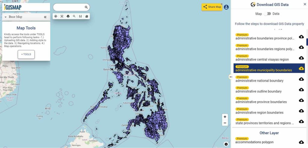
Download Philippines Municipalities Shapefile Data

Philippines Municipality Boundaries

Download Philippines Municipalities Boundaries Shapefile

Other GIS Data:

Download Free Shapefile for the following:

  1. World Countries Shapefile
  2. Australia
  3. Argentina
  4. Austria
  5. Belgium
  6. Brazil
  7. Canada
  8. Denmark
  9. Fiji
  10. Finland
  11. Germany
  12. Greece
  13. India
  14. Indonesia
  15. Ireland
  16. Italy
  17. Japan
  18. Kenya
  19. Lebanon
  20. Madagascar
  21. Malaysia
  22. Mexico
  23. Mongolia
  24. Netherlands
  25. New Zealand
  26. Nigeria
  27. Papua New Guinea
  28. Philippines
  29. Poland
  30. Russia
  31. Singapore
  32. South Africa
  33. South Korea
  34. Spain
  35. Switzerland
  36. Tunisia
  37. United Kingdom Shapefile
  38. United States of America
  39. Vietnam
  40. Croatia
  41. Chile
  42. Norway

Disclaimer : If you find any shapefile data of country provided is in correct do contact us or comment below, so that we will correct the same in our system.

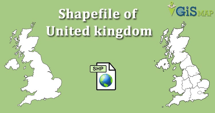
Download United Kingdom Administrative Boundary Shapefiles – Countries, Regions, Counties, Unitary Authorities, Wards and more

Hello GIS enthusiasts, IGISMAP has now published the latest GIS vector data of United Kingdom administrative levels. Links for downloading the shapefiles of the important administrative divisions of United Kingdom are provided in the following. You can also download these data in KML, GeoJSON or CSV formats.

Note:

  • All data available are in GCS datum EPSG:4326 WGS84 CRS (Coordinate Reference System).
  • You need to login for downloading the shapefile.

Download Free Shapefile Data of United Kingdom

The United Kingdom of Great Britain and Northern Ireland, commonly known as the United Kingdom (UK) or Britain is a sovereign state to the northwest of continental Europe, consists of:

  • England
  • Scotland
  • Wales
  • Northern Ireland

The United Kingdom includes the island of Great Britain, the north-­eastern part of the island of Ireland, and many smaller islands within the British Isles. Northern Ireland shares a land border with the Republic of Ireland. Otherwise, the United Kingdom is surrounded by the Atlantic Ocean, with the North Sea to the east, the English Channel to the south and the Celtic Sea to the south-west, giving it the 12th-longest coastline in the world. The Irish Sea separates Great Britain and Ireland. The total area of the United Kingdom is 93,628 square miles (242,500 km2), with an estimated population in 2020 of 68 million.

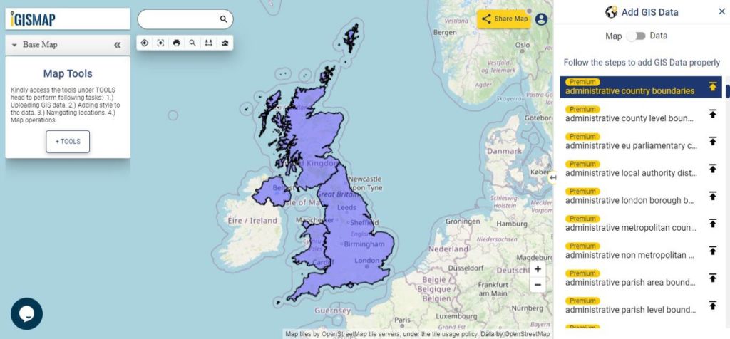
United Kingdom GIS Data - Country Boundaries
United Kingdom Country Boundaries

Download United Kingdom Country Boundaries Shapefile

Download National Outline Boundary of Each Countries:

Download United Kingdom Regions And Counties Shapefile Data

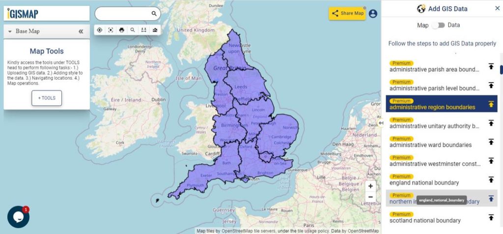
The regions, formerly known as the government office regions, are the highest tier of sub-national division in England, established in 1994 which is divided into 9 regions.

United Kingdom GIS Data - Region Boundaries
United Kingdom Region Boundaries

Download United Kingdom Region Boundaries Shapefile

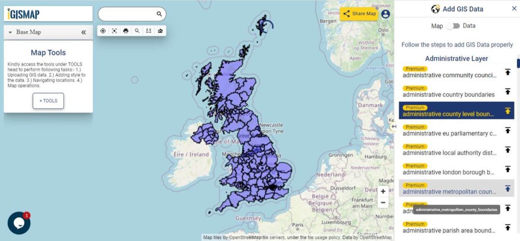
County level division of pan UK includes Metropolitan counties, Non metropolitan counties, Unitary authorities and London Boroughs. Following data available in IGISMAP consist of 202 polygon features of county level boundaries.

United Kingdom GIS Data - County Boundaries
United Kingdom County Boundaries

Download United Kingdom County Boundaries Shapefile

Download United Kingdom Unitary Authorities Shapefile Data

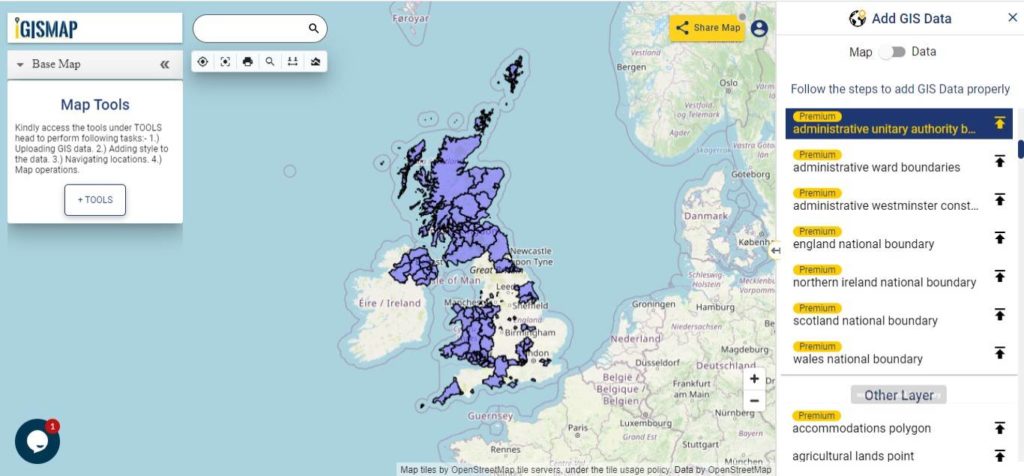
Unitary Authority divisions are associated with England, thus commonly known as Unitary authorities of England. The unitary authorities of England are those local authorities which are responsible for the provision of all local government services within a district. Following data of Unitary Authority boundaries is a combined data of Local Authority District polygons of Scotland, Wales and Northern Ireland with the Unitary Authority polygons which is a sum of 138 polygon features.

United Kingdom GIS Data - Unitary Authority Boundaries
United Kingdom Unitary Authority Boundaries

Download United Kingdom Unitary Authority Boundaries Shapefile

Download United Kingdom Wards Shapefile Data

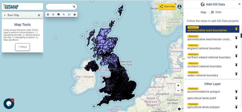
The wards and electoral divisions in the United Kingdom are electoral districts at sub-national level represented by one or more councillors. The ward is the primary unit of English electoral geography for civil parishes and borough and district councils, electoral ward is the unit used by Welsh principal councils, while the electoral division is the unit used by English county councils and some unitary authorities. Each ward/division has an average electorate of about 5,500 people, but ward-population counts can vary substantially. As at the end of 2014 there were 9,456 electoral wards/divisions in the UK.

United Kingdom GIS Data - Ward Boundaries
United Kingdom Ward Boundaries

Download United Kingdom Ward Boundaries Shapefile

Other Administrative Boundary Data:

Download Shapefile for following countries

  1. World Countries Shapefile
  2. Australia
  3. Argentina
  4. Austria
  5. Belgium
  6. Brazil
  7. Canada
  8. Denmark
  9. Fiji
  10. Finland
  11. Germany
  12. Greece
  13. India
  14. Indonesia
  15. Ireland
  16. Italy
  17. Japan
  18. Kenya
  19. Lebanon
  20. Madagascar
  21. Malaysia
  22. Mexico
  23. Mongolia
  24. Netherlands
  25. New Zealand
  26. Nigeria
  27. Papua New Guinea
  28. Philippines
  29. Poland
  30. Russia
  31. Singapore
  32. South Africa
  33. South Korea
  34. Spain
  35. Switzerland
  36. Tunisia
  37. United Kingdom Shapefile
  38. United States of America
  39. Vietnam
  40. Croatia
  41. Chile
  42. Norway

Disclaimer : If you find any shapefile data of country provided is in correct do contact us or comment below, so that we will correct the same in our system as well we will try to correct the same in OSM.