i
GIS
MAP
Home
Book a Meeting
Blogs
Login / Register
Tag
Tag: convert
85 posts
GIS
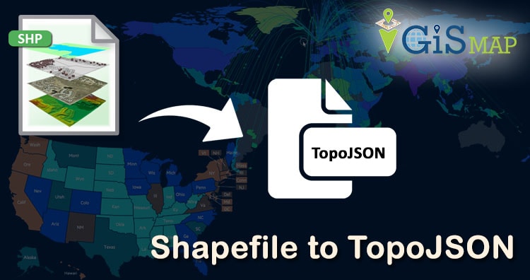
Convert Shapefile to TopoJSON
ESRI shapefile are the binary vector data storage format for storing the location, shape, and attributes of geographic features. It is stored…
4 min read
→
GIS
Convert GeoJSON to TopoJSON – GIS
Convert GeoJSON to TopoJSON. GeoJSON is an open standard format designed for representing simple geographical features, along with their non-spatial attributes, based…
2 min read
→
GIS
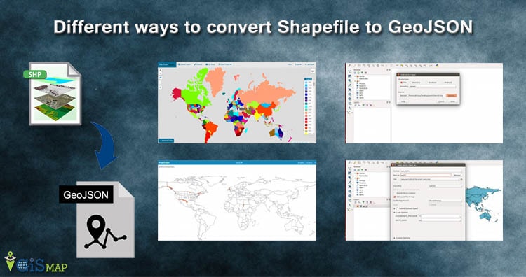
Different ways to convert Shapefile to GeoJSON – Online or Offline or API
Convert Shapefile to GeoJSON. Shapefile, ESRI made a standard vector file format which is largely adopted in the field of GIS by…
6 min read
→
GIS
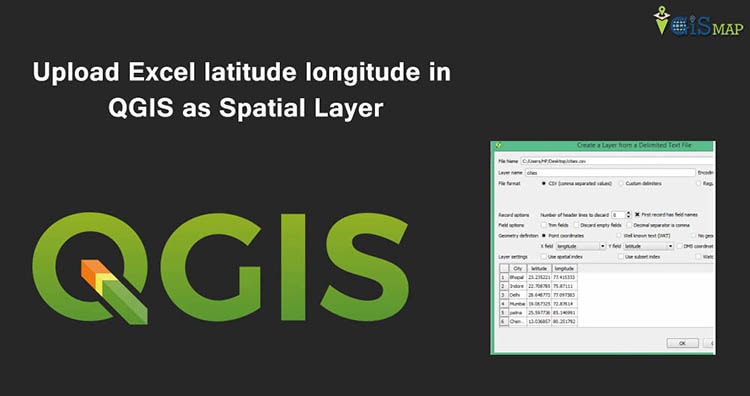
Upload Excel latitude longitude in QGIS as Spatial Layer
Upload Excel latitude longitude in QGIS as Spatial Layer and save as Shapefile. When you have collection of point data i.e latitude and…
2 min read
→
Convert GIS Data
Convert Shapefile to kml by QGIS
Convert Shapefile to kml by QGIS. Shapefile is ESRI based Vector file, While KML or Keyhole Markup Language is file which models and stores geographic features for display in Google…
2 min read
→
Posts pagination
‹
1
…
8
9
Exit mobile version
We use cookies to ensure that we give you the best experience on our website. If you continue to use this site we will assume that you are happy with it.
Ok