You can convert Geojson to Shapefile offline using GDAL or QGIS. This would require you to download and install those software. One should have adequate knowledge in using these GIS applications to do simple processes. IGISMAP is an online platform to carry out geospatial operations by any non GIS expert. Converter tool of IGISMAP is also easy to perform applied file conversions between GIS formats.
GeoJSON is an open standard geospatial data interchange format that represents simple geographic features and their non spatial attributes. Based on JavaScript Object Notation (JSON), GeoJSON is a format for encoding a variety of geographic data structures. Shapefile is a vector GIS format developed by ESRI.
Using MAPOG Tool you can easily convert – GML to Shapefile. You can also do other GIS Data Conversion using this tool.
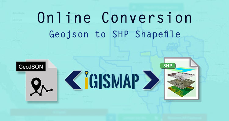
IGISMAP to Convert GeoJSON to Shapefile
For GeoJSON to Shapefile conversion, go to MAPOG Tool , after logging in with your registered email and password. If you are a new user, click the Sign Up button in the Login popup and register to IGISMAP by filling the details.
There are three main steps for using GIS Converter:
- Upload the data
- Choose the format to which it should be converted
- Download the converted file
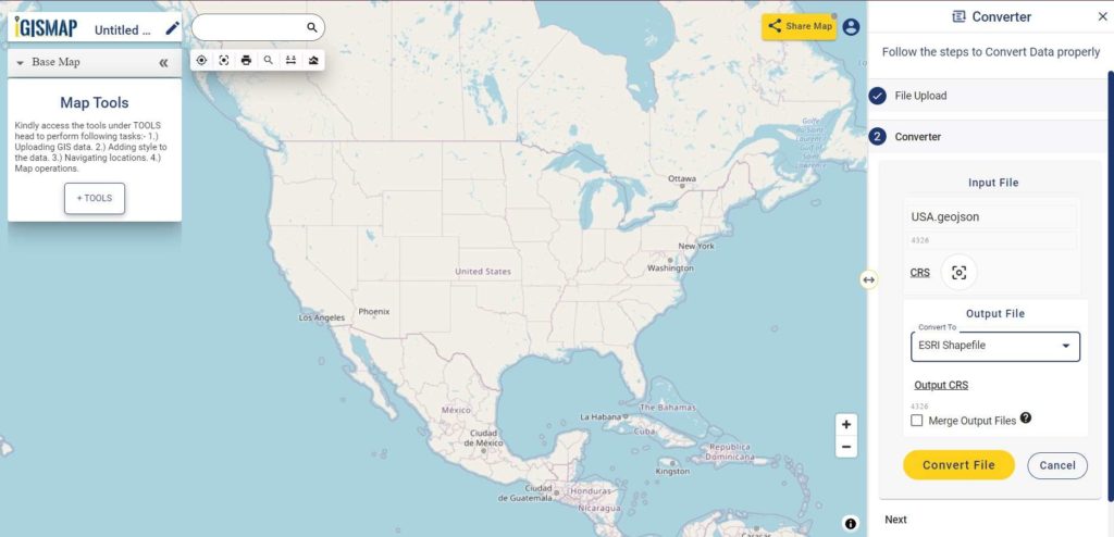
Step one is to upload your GeoJSON file which you want to convert. You can upload your file from system or select from the Recent Files.

Here we have uploaded the GeoJSON file of USA.
Step two is to select the output format from the dropdown for the converted file, in this case its Shapefile. You can also set the Coordinate Reference System of your preference. As a default CRS will set to WGS 84 (World) [EPSG:4326]. Click on the Convert File.
Your GeoJSON file will then gets converted to Shapefile after a few seconds and will be available for downloading..
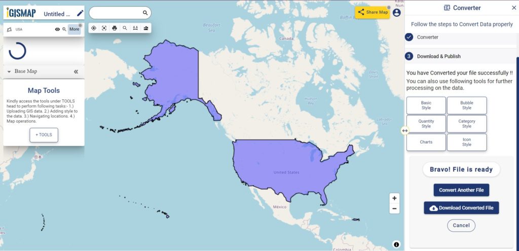
You can also choose to style the layer or continue with further conversion process by clicking the Convert Another File button.
Converted Files section from the dashboard contains the list of the details of all the conversion done in your account, providing both input and output data available for download their corresponding formats.
Download free shapefile of various countries.
Create your own shapefile and share with your clients or embed on your website.