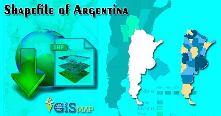
Hello GIS enthusiasts, IGISMAP has now published the latest GIS vector data of Argentina administrative levels. Links for downloading the shapefiles of the important administrative divisions of Argentina are provided in the following. You can also download these data in KML, GeoJSON or CSV formats.
Note:
- All data available are in GCS datum EPSG:4326 WGS84 CRS (Coordinate Reference System).
- You need to login for downloading the shapefile.
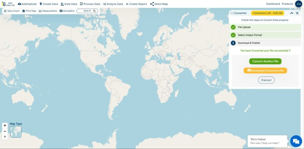
Download Free Shapefile Data of Argentina
Argentina, officially the Argentine Republic, is a country in the southern half of South America. Argentina covers an area of 2,780,400 km2 (1,073,500 sq mi), making it the largest Spanish-speaking nation in the world by area. It is the second-largest country in South America after Brazil, the fourth-largest country in the Americas, and the eighth-largest country in the world. It shares the bulk of the Southern Cone with Chile to the west, and is also bordered by Bolivia and Paraguay to the north, Brazil to the northeast, Uruguay and the South Atlantic Ocean to the east, and the Drake Passage to the south. Argentina is a federal state subdivided into twenty-three provinces, and one autonomous city, which is the federal capital and largest city of the nation, Buenos Aires. The provinces and the capital have their own constitutions, but exist under a federal system. Argentina claims sovereignty over a part of Antarctica, the Falkland Islands and South Georgia and the South Sandwich Islands.
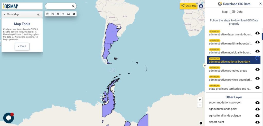
Download Argentina National Outline Boundary Shapefile
Download Argentina Province Shapefile Data
Polygon Shapefile of Argentina Covers – Autonomous City of Buenos Aires, Buenos Aires, Buenos Aires, Santa Fe, Mendoza, Tucumán, Salta, Entre Ríos, Misiones, Chaco, Corrientes, Santiago del Estero, San Juan, Jujuy, Río Negro, Neuquén, Formosa, Chubut, San Luis, Catamarca, La Rioja, La Pampa, Santa Cruz, Tierra del Fuego.
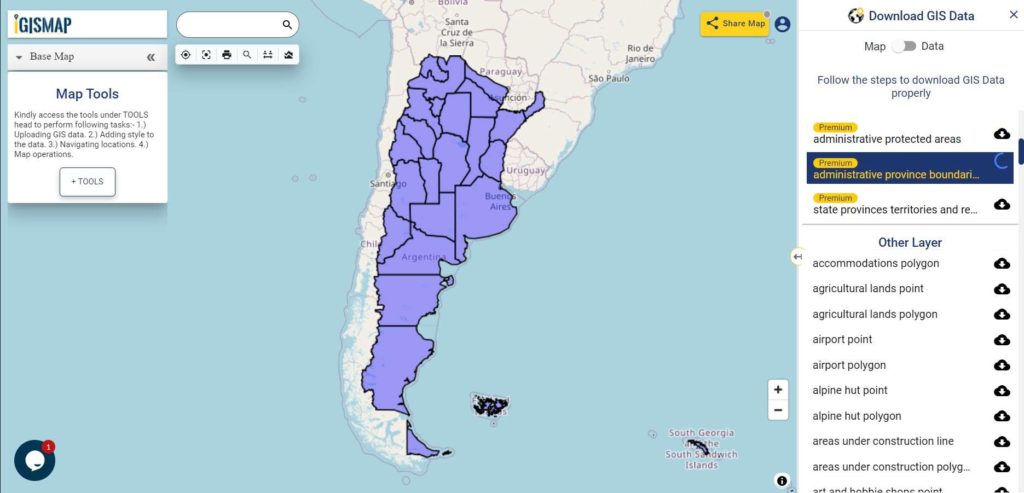
Download Argentina Province Boundaries Shapefile
Download Argentina Departmentos Shapefile Data
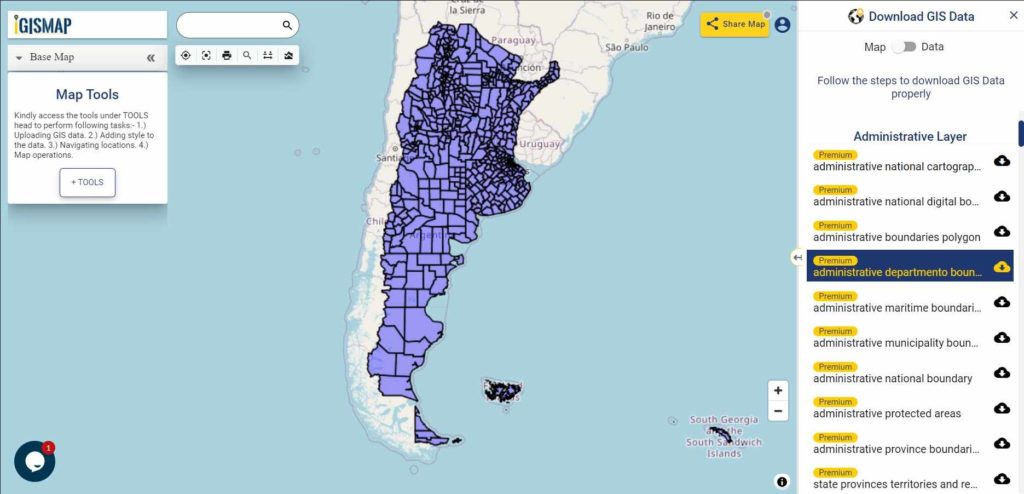
Download Argentina Department Boundaries Shapefile
Download Argentina Municipality Shapefile Data
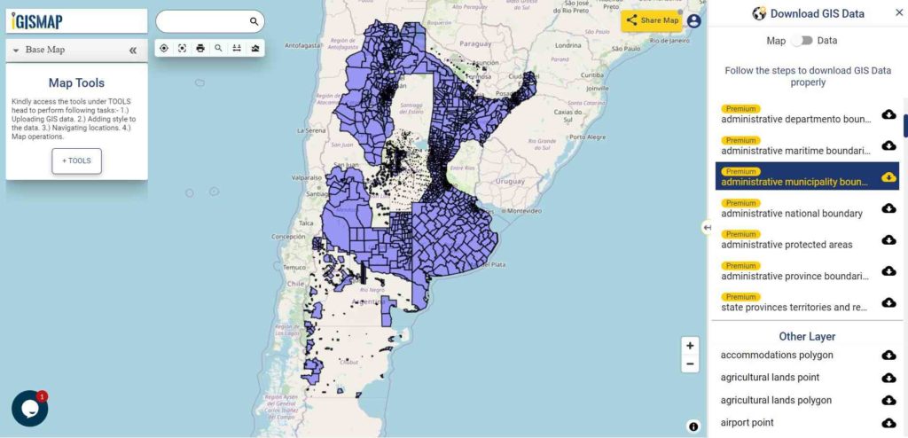
Download Argentina Municipality Boundaries Shapefile
Please note that the Argentina data provided here is license under Open Data Commons Open Database License (ODbL). Please review the same before using it. If you want data under different license you can also look over to the post : Download Free Shapefile Maps – Country Boundary Polygon, Rail-Road, Water polyline etc.
Download GIS Data for other countries From Here
Other GIS Data:
- Download Argentina Protected Area Shapefile
- Download Argentina Maritime Boundaries Shapefile
- Download Argentina Highways Shapefile
- Download Argentina Railway Lines Shapefile
- Download Argentina Airport Locations Shapefile
- Download Argentina Ferry Terminals Locations Shapefile
Download Free Shapefile for the following:
- World Countries Shapefile
- Australia
- Argentina
- Austria
- Belgium
- Brazil
- Canada
- Denmark
- Fiji
- Finland
- Germany
- Greece
- India
- Indonesia
- Ireland
- Italy
- Japan
- Kenya
- Lebanon
- Madagascar
- Malaysia
- Mexico
- Mongolia
- Netherlands
- New Zealand
- Nigeria
- Papua New Guinea
- Philippines
- Poland
- Russia
- Singapore
- South Africa
- South Korea
- Spain
- Switzerland
- Tunisia
- United Kingdom Shapefile
- United States of America
- Vietnam
- Croatia
- Chile
- Norway
Disclaimer : If you find any shapefile data of country provided is in correct do contact us or comment below, so that we will correct the same in our system.