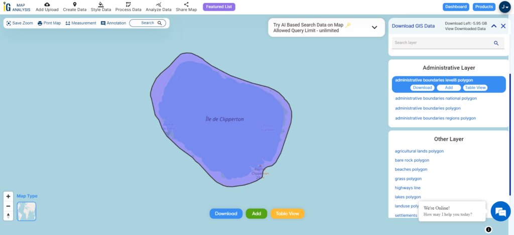
Embark on a smooth exploration of the geography around Clipperton Island using MAPOG. Navigate through a wide range of datasets, including important features like boundaries, rivers, highways, and airports for this isolated Pacific atoll. MAPOG offers a user-friendly platform with handy tools like Download GIS Data, letting you choose from various formats such as Shapefile, KML, GeoJSON, and CSV for your immersive journey. Delve into the GIS Data of Clipperton Island with confidence, gaining a wealth of geographic insights through MAPOG’s intuitive interface.
With MAPOG’s versatile toolkit, you can effortlessly upload vector, add WMS (Web Map Service) layers, upload Excel or CSV data, incorporate existing files, perform polygon splitting and merging, generate new polygon and polyline data, use the converter for various formats, conduct buffer analysis, create grids, transform points into polygons, calculate isochrones, and utilize the geocoder for precise location information.
We offer an extensive array of data formats, including KML, SHP, CSV, GeoJSON, Tab, SQL, Tiff, GML, KMZ, GPKZ, SQLITE, Dxf, MIF, TOPOJSON, XLSX, GPX, ODS, MID, and GPS, ensuring compatibility and accessibility for various applications and analyses.
Note:
- All data available are in GCS datum EPSG:4326 WGS84 CRS (Coordinate Reference System).
- You need to login for downloading the shapefile.
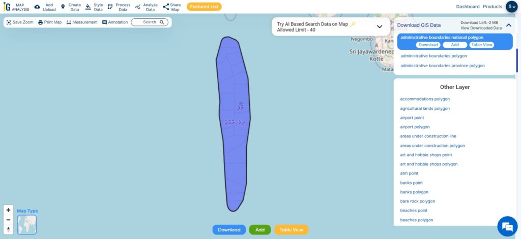
Download Ile De Clipperton Shapefile Data
Clipperton Island is a small coral atoll located in the Pacific Ocean, approximately 1,120 kilometers southwest of the tip of Baja California in Mexico. It is administratively linked to France.
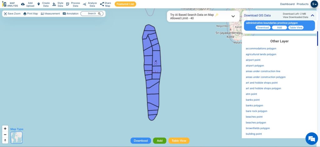
Download Ile De Clipperton National Shapefile
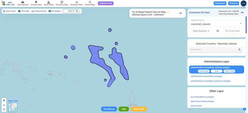
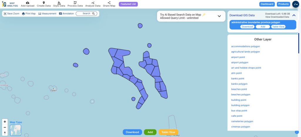
After successfully logging in with a legitimate email address, select the country you want to work with. Next, choose the specific layer you need and click on the download option. Once that’s done, pick the desired format to acquire the essential GIS data. Before proceeding with the data download, make sure to review the data table for any relevant information.
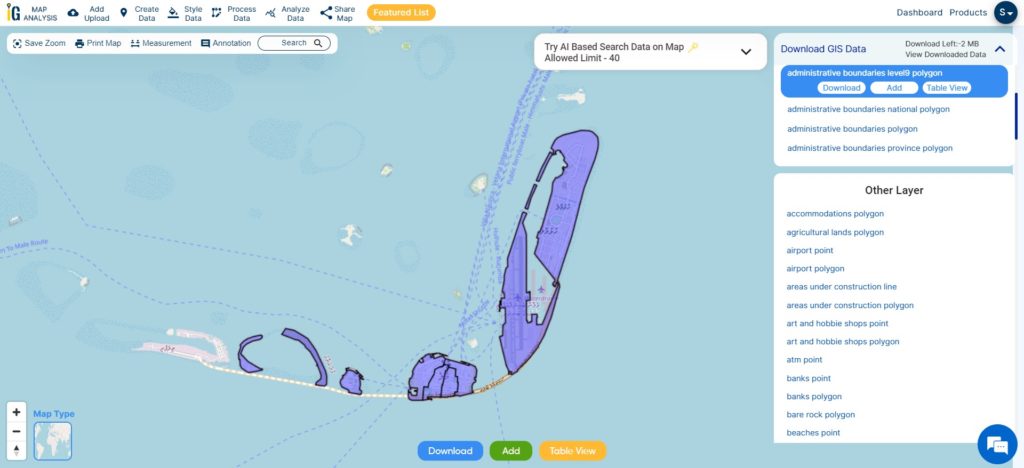
Download Ile De Clipperton Atoll Shapefile Data
The atoll of Clipperton is a remote, uninhabited coral atoll located in the eastern Pacific Ocean, about 1,150 kilometers southwest of Mexico. It is the only French territory in the North Pacific.
The atoll is about 12 kilometers in circumference and has a total area of 8.9 square kilometers. It is surrounded by a shallow lagoon that is home to a variety of marine life, including seabirds, fish, and shellfish.
Download Ile De Clipperton Atoll Shapefile
Other GIS Data:
- Download Ile De Clipperton Beaches Polygon Shapefile
- Download Ile De Clipperton Highway Lines Shapefile
Above all links are provided for GIS data of Ile De Clipperton if you are looking for any specific data please write us on support@mapog.com
Download Shapefile for the following:
- World Countries Shapefile
- Australia
- Argentina
- Austria
- Belgium
- Brazil
- Canada
- Denmark
- Fiji
- Finland
- Germany
- Greece
- India
- Indonesia
- Ireland
- Italy
- Japan
- Kenya
- Lebanon
- Madagascar
- Malaysia
- Mexico
- Mongolia
- Netherlands
- New Zealand
- Nigeria
- Papua New Guinea
- Philippines
- Poland
- Russia
- Singapore
- South Africa
- South Korea
- Spain
- Switzerland
- Tunisia
- United Kingdom Shapefile
- United States of America
- Vietnam
- Croatia
- Chile
- Norway
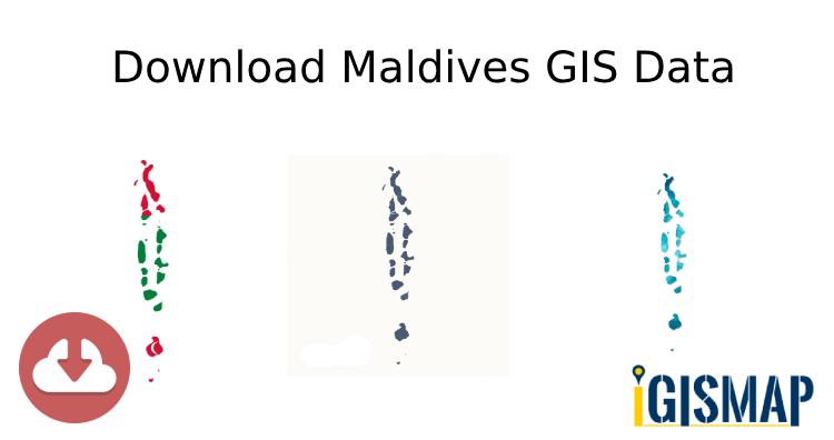
- Maldives
- Bhutan
- Colombia
- Libya
- Comoros
- Hungary
- Laos
- Estonia
- Iraq
- Portugal
- Azerbaijan
- Macedonia
- Romania
- Peru
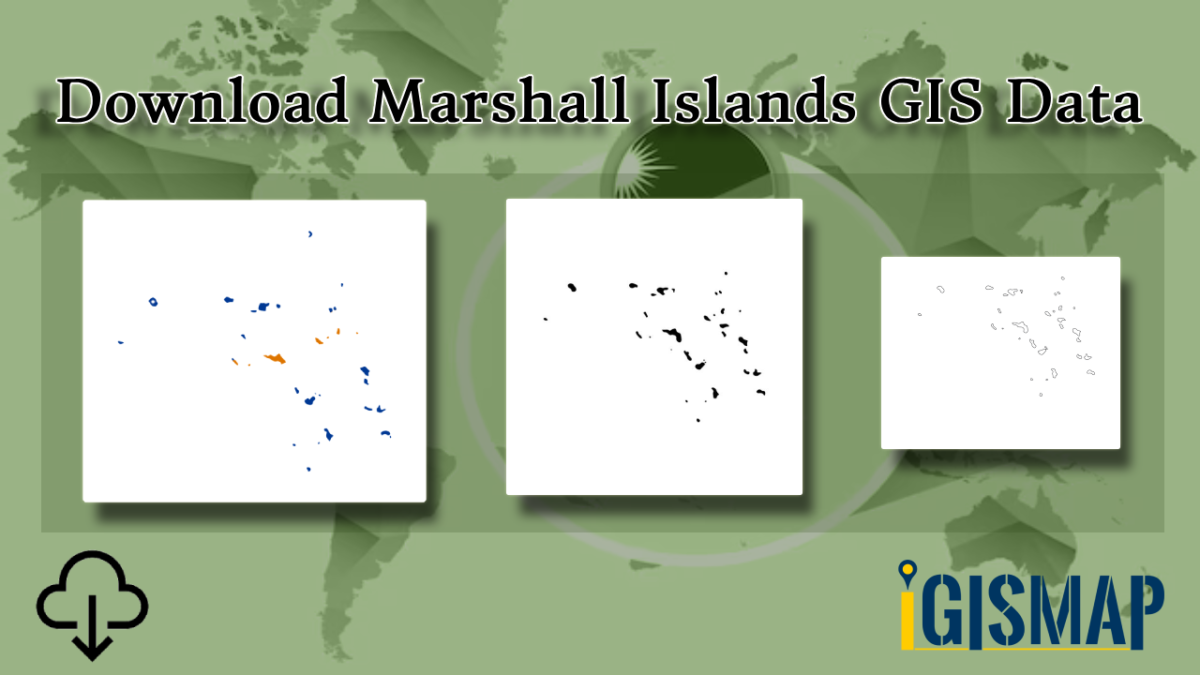
- Marshall Islands
- Slovenia
- Nauru
- Guatemala
- El Salvador
- Afghanistan
- Cyprus
- Syria
- Slovakia
- Luxembourg
- Jordan
- Armenia
- Haiti And Dominican Republic
Disclaimer : If you find any shapefile data of country provided is incorrect do contact us or comment below, so that we will correct the same in our system as well we will try to correct the same in openstreetmap.