i
GIS
MAP
Home
Book a Meeting
Blogs
Login / Register
Tag
Tag: Arkansas Railway Line shapefile
1 post
GeoJSON
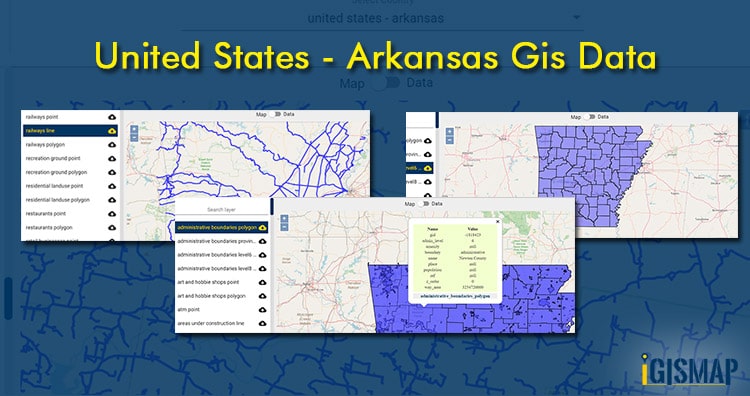
Download United States – Arkansas Shapefiles- Administrative, Kml – Boundary, County, highway, rail line
GIS Data and Maps of Arkansas State is used by planners and surveyors for visualizing and identifying the patterns that are difficult…
3 min read
→
Exit mobile version
We use cookies to ensure that we give you the best experience on our website. If you continue to use this site we will assume that you are happy with it.
Ok