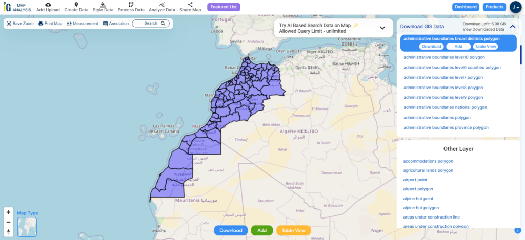
Embark on a journey of endless possibilities with MAPOG! Gain exclusive access to Download Montenegro Administrative Boundary GIS Data for – National, Municipalities, Regions and others layers.
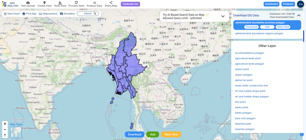
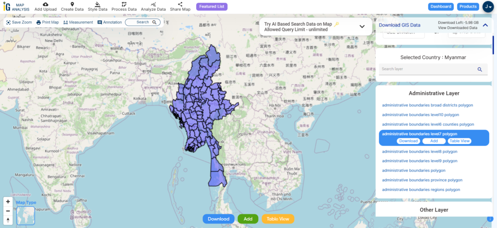
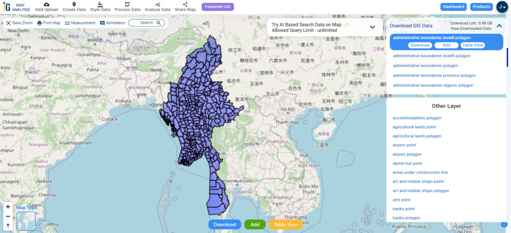
Exploring GIS data for Montenegro is effortless with MAPOG. Dive into a diverse collection of over 150 datasets meticulously detailing administrative boundaries and geographic features such as rivers, roads, and airports. Our platform offers two integrated tools for seamless navigation: Download GIS Data and Add GIS Data. With the Download GIS Data tool, choose from a range of formats like Shapefile, KML, GeoJSON, or CSV to effortlessly acquire the precise data you need. If you seek to enhance your understanding of the Add GIS Data tool, refer to our comprehensive guide. This guide walks you through the process of obtaining administrative-level GIS data using the Download GIS Data tool. Let MAPOG be your trusted companion on an enriching geospatial journey through Montenegro’s stunning landscapes.
Download Montenegro Administrative Boundary GIS Data, Discover the versatility of MAPOG’s tool, empowering you to effortlessly, Upload vector and raster files, Add WMS (Web Map Service) layers, Import Excel or CSV data, Merge and split polygons, Create new polygon and polyline data, Convert between various formats, Perform buffer analysis, Generate grids, Transform points to polygons,Calculate isochrones and Leverage the geocoder for accurate location data.
Our platform supports an extensive range of data formats, including KML, SHP, CSV, GeoJSON, Tab, SQL, Tiff, GML, KMZ, GPKZ, SQLITE, Dxf, MIF, TOPOJSON, XLSX, GPX, ODS, MID, and GPS, ensuring seamless compatibility and accessibility across different analyses.
Note:
- all data provided by MAPOG are in GCS datum EPSG:4326 WGS84 CRS (Coordinate Reference System).
- Additionally, access to shapefile downloads requires logging in to the platform.
Download Data of Montenegro
Montenegro, situated in southeastern Europe on the Balkan Peninsula, offers a captivating blend of stunning landscapes and rich cultural heritage. Bordered by Croatia, Bosnia and Herzegovina, Serbia, Kosovo, and Albania, it boasts picturesque coastlines along the Adriatic Sea and rugged mountains inland. The country’s diverse geography includes the dramatic peaks of Durmitor National Park, the serene waters of Lake Skadar, and the historic charm of coastal towns like Kotor and Budva.

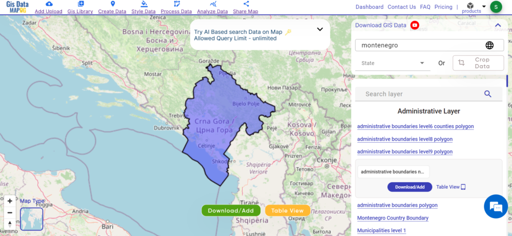
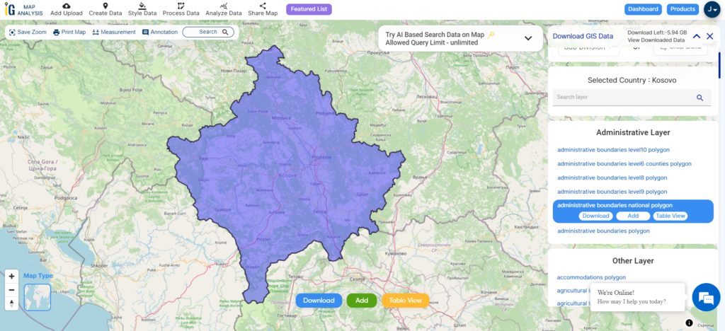
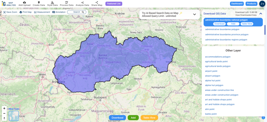
Download Montenegro National Boundary
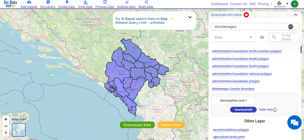
Download Montenegro Municipalities Data
Montenegro is divided into municipalities, each serving as an administrative region within the country. Montenegro comprises 23 municipalities, each contributing to local governance and development. Here they are:
- Andrijevica
- Bar
- Berane
- Bijelo Polje
- Budva
- Cetinje (the former royal capital)
- Danilovgrad
- Gusinje
- Herceg Novi
- Kolašin
- Kotor
- Mojkovac
- Nikšić
- Plav
- Pljevlja
- Plužine
- Podgorica (the capital city)
- Rožaje
- Šavnik
- Tivat
- Ulcinj
- Žabljak
- Herceg Novi

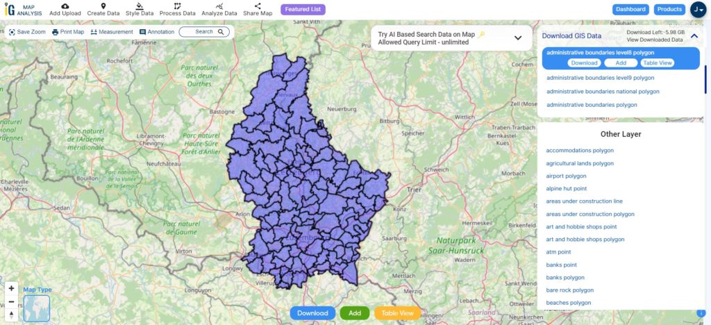
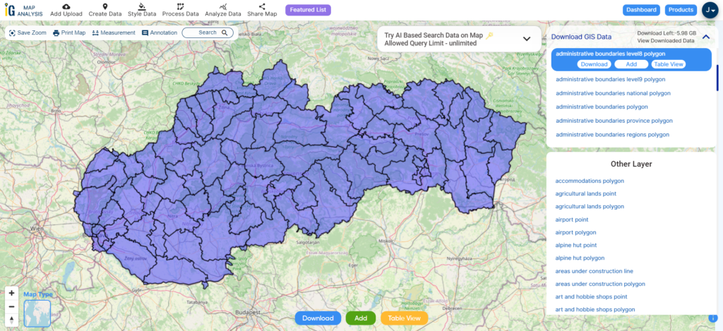
Download Montenegro Municipalities Shapefile
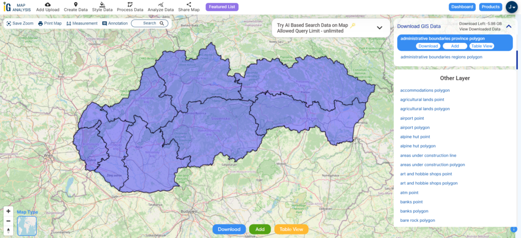
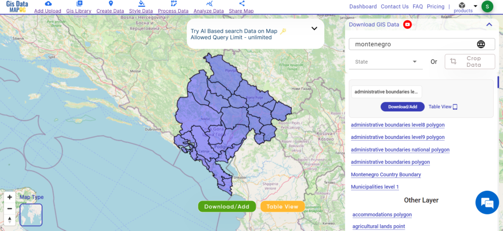
Download Montenegro Regions Shapefile Data
In Montenegro, regions serve as smaller administrative units within municipalities, playing a crucial role in local governance and service delivery. These regions facilitate direct interaction between the government and communities, enhancing efficiency in development efforts and public services. With a total of 64 regions across the country, Montenegro ensures decentralised administration and targeted interventions tailored to the specific needs of local communities.

Download Montenegro Regions Data
Other GIS Data:
- Montenegro Airport Point Data
- Montenegro Agriculture land Data
- Montenegro Forest Data
- Montenegro Highway lines Data
Above all links are provided for GIS data of Montenegro if you are looking for any specific data please write us on support@mapog.com
Download Data for the following:
- World Countries Shapefile
- Australia
- Argentina
- Austria
- Belgium
- Brazil
- Canada
- Denmark
- Fiji
- Finland
- Germany
- Greece
- India
- Indonesia
- Ireland
- Italy
- Japan
- Kenya
- Lebanon
- Madagascar
- Malaysia
- Mexico
- Mongolia
- Netherlands
- New Zealand
- Nigeria
- Papua New Guinea
- Philippines
- Poland
- Russia
- Singapore
- South Africa
- South Korea
- Spain
- Switzerland
- Tunisia
- United Kingdom Shapefile
- United States of America
- Vietnam
- Croatia
- Chile
- Norway
- Maldives
- Bhutan
- Colombia
- Libya
- Comoros
- Hungary
- Laos
- Estonia
- Iraq
- Portugal
- Azerbaijan
- Macedonia
- Romania
- Peru
- Marshall Islands
- Slovenia
- Nauru
- Guatemala
- El Salvador
- Afghanistan
- Cyprus
- Syria
- Slovakia
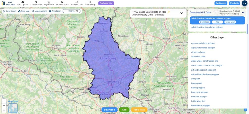
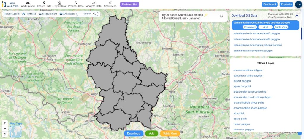
- Luxembourg
- Jordan
- Armenia
- Haiti And Dominican Republic
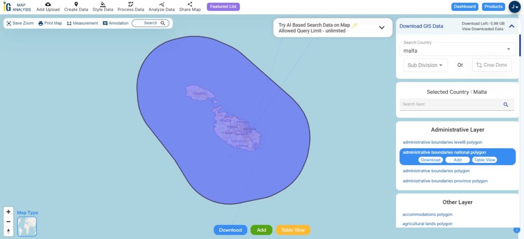
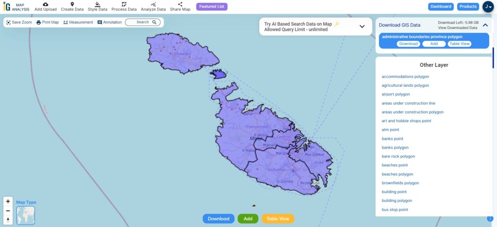
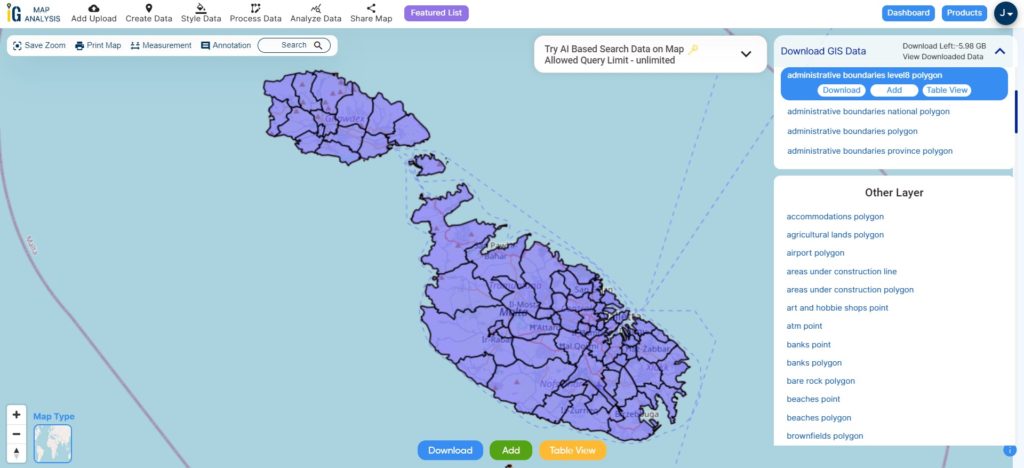
- Malta
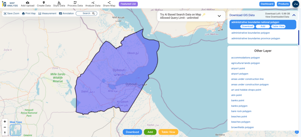
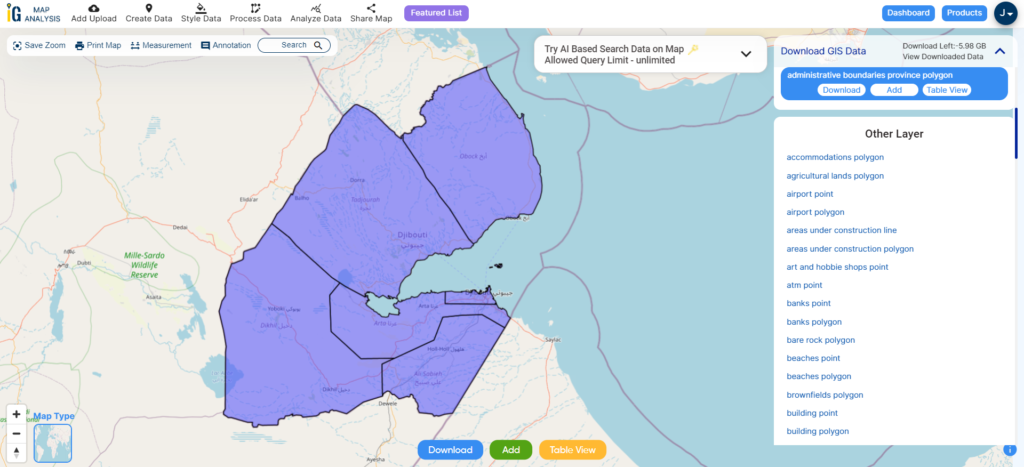
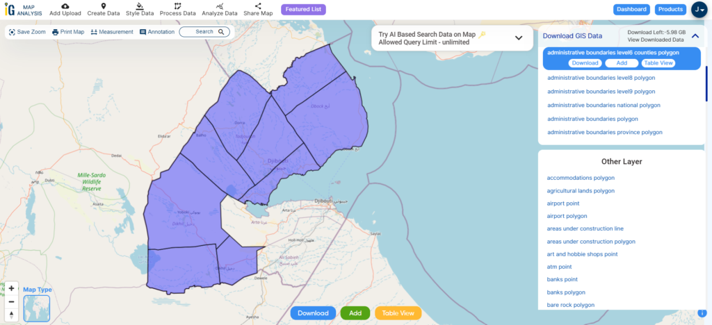
- Djibouti
- East Timor
- Micronesia
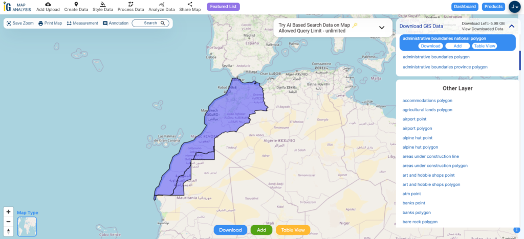
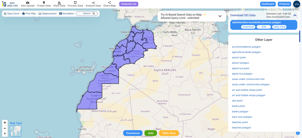
- Morocco
- Liberia
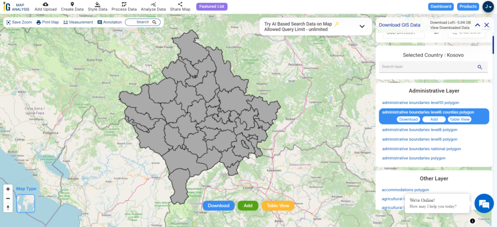
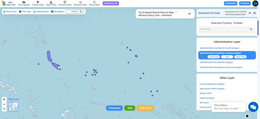
- Kosovo
- Isle Of Man
- Paraguay
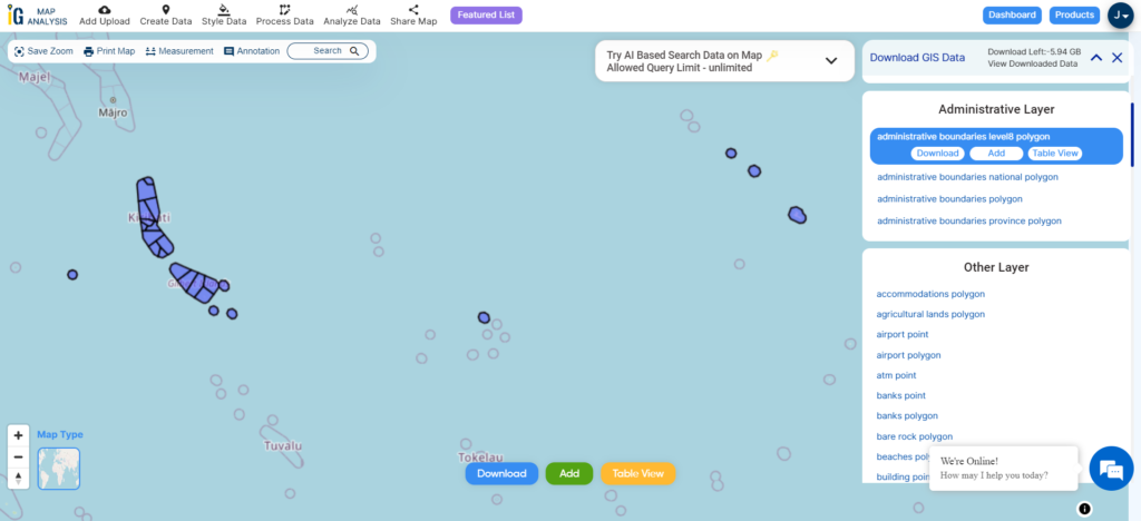
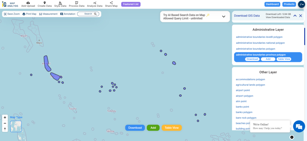
- Tokelau
- Palau
- Ile De Clipperton
- Mauritius
- Equatorial Guinea
- Tonga
- Myanmar
- Thailand
- New Caledonia
Disclaimer : If you find any shapefile data of country provided is incorrect do contact us or comment below, so that we will correct the same in our system as well we will try to correct the same in openstreetmap.