Need accurate and structured data for administrative infrastructure? Download Townhall Data easily using GIS Data by MAPOG — a robust platform designed to support urban planning, governance, and civic infrastructure analysis. Townhalls, as administrative buildings for local governments, play a crucial role in managing civic services, hosting council meetings, and engaging with citizens. With MAPOG, accessing geospatial datasets of townhall locations becomes smooth, reliable, and highly customizable, thanks to its support for over 15 GIS formats including Shapefile, KML, GeoJSON, and MID.
Why Use MAPOG to Download Townhall Data?
GIS Data by MAPOG is built to simplify geospatial data collection. It caters to planners, researchers, civic authorities, and GIS professionals by offering downloadable datasets that align with various GIS software. Whether you’re working on a local governance project, spatial urban study, or service accessibility model, you can download Townhall Data from MAPOG in your preferred format with ease.
Download Townhall Data of any countries
Note:
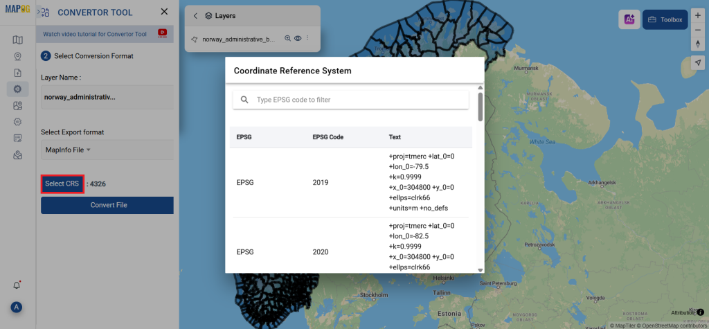
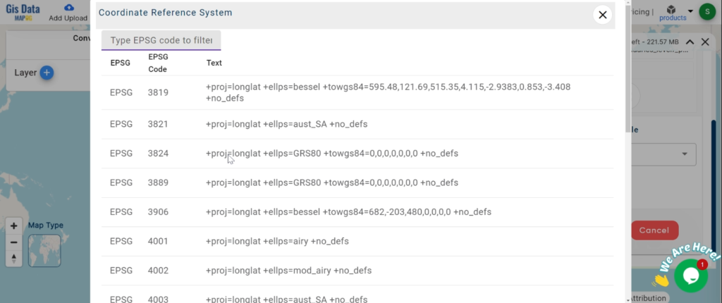
- All data is provided in GCS datum EPSG:4326 WGS84 CRS (Coordinate Reference System).
- Users need to log in to access and download their preferred data formats.
Step-by-Step Guide to Download Townhall Data
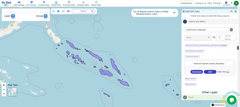
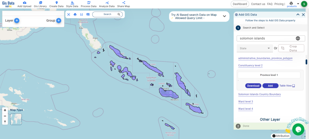
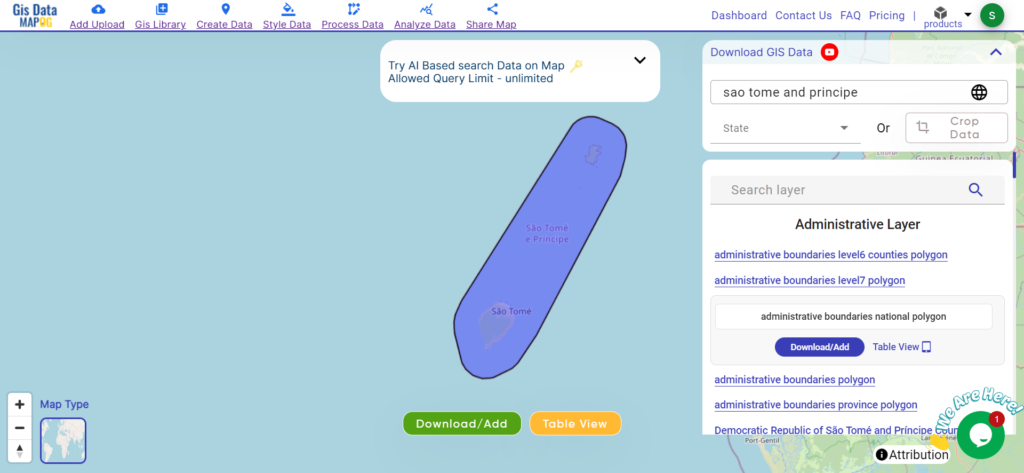
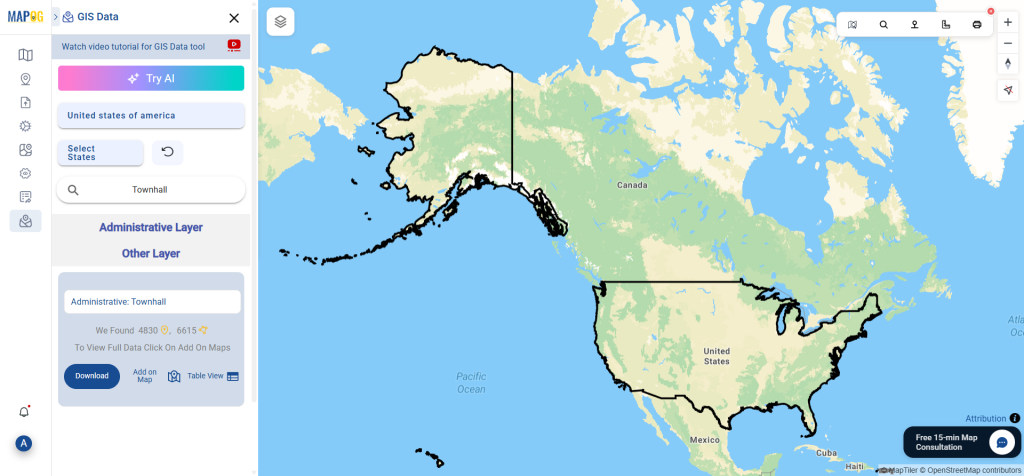
Step 1: Search for Townhall Data
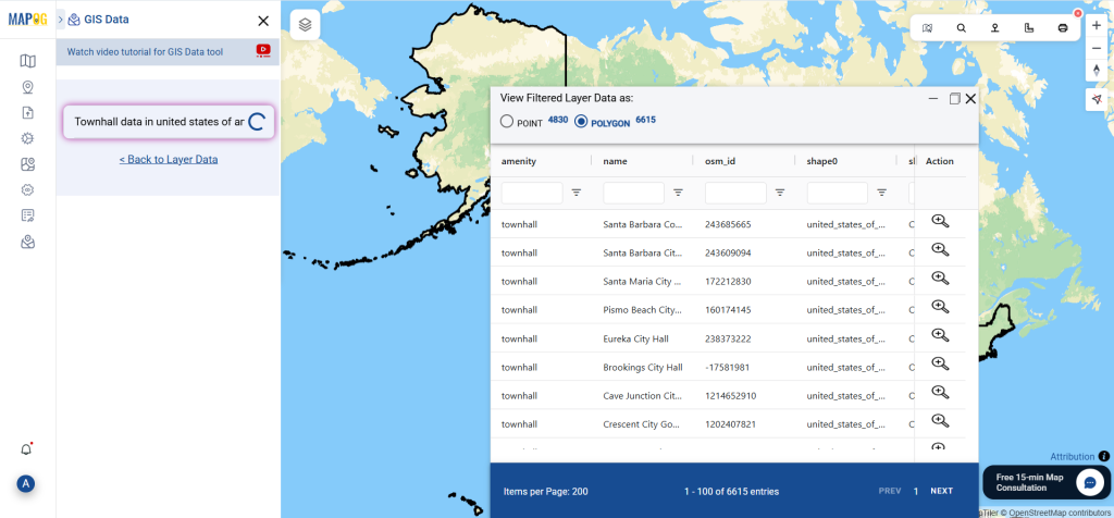
To get started, navigate to GIS Data by MAPOG and use the search feature to locate “Townhall Data.” Each layer comes with rich metadata — you can quickly identify if the data is in point, polygon, or multipoint format based on the available attributes.
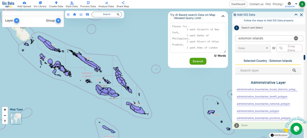
Step 2: Accelerate with “Try AI” Search
Not sure where to look? MAPOG offers an AI-assisted search feature called “Try AI.” Just type queries like “Townhall locations” or “Townhall data for selected area” and let the AI engine retrieve the most relevant datasets. This reduces search time and increases accuracy in dataset discovery.
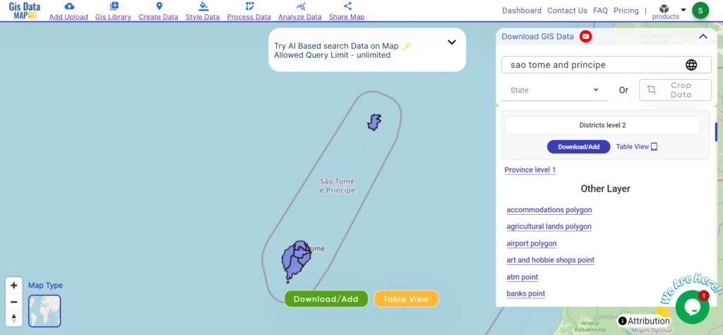
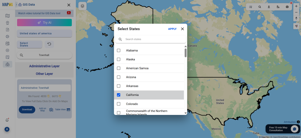
Step 3: Filter by Region
The Filter Data option helps users refine their search further. You can narrow datasets down by selecting specific states, districts, or city levels. For instance, if the main dataset covers an entire country or region, this tool allows you to extract more localized information relevant to your analysis.
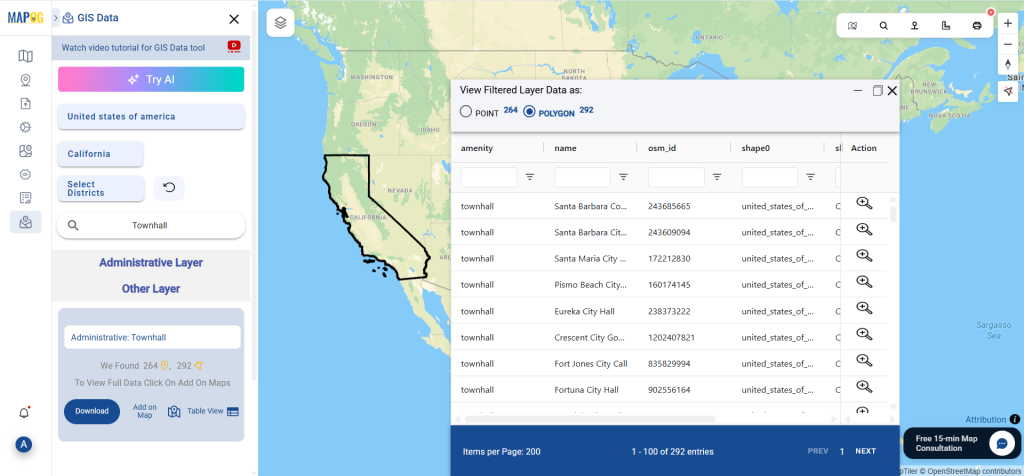
Step 4: Visualize Using “Add on Map”
The “Add on Map” button lets you overlay selected townhall datasets directly on the GIS interface. This helps you visualize their geographic distribution and spatial relationships instantly. It’s a crucial step for those who want to examine patterns, density, or service coverage zones before downloading the files.
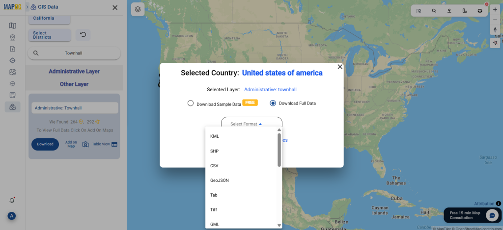
Step 5: Download Townhall Data
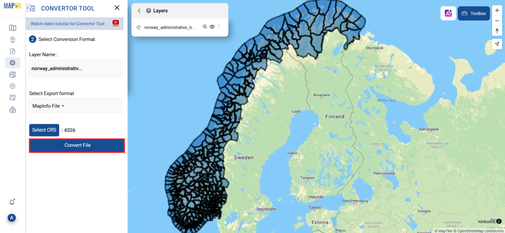
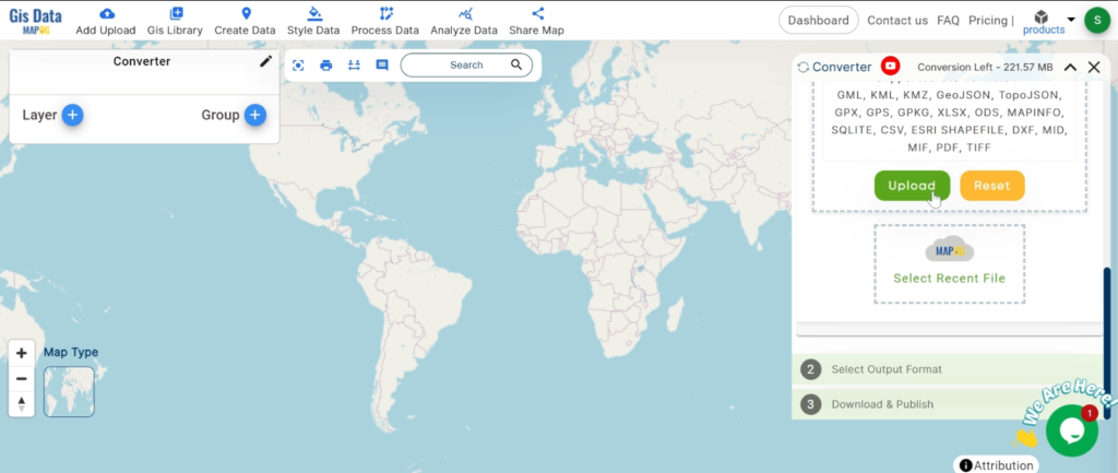
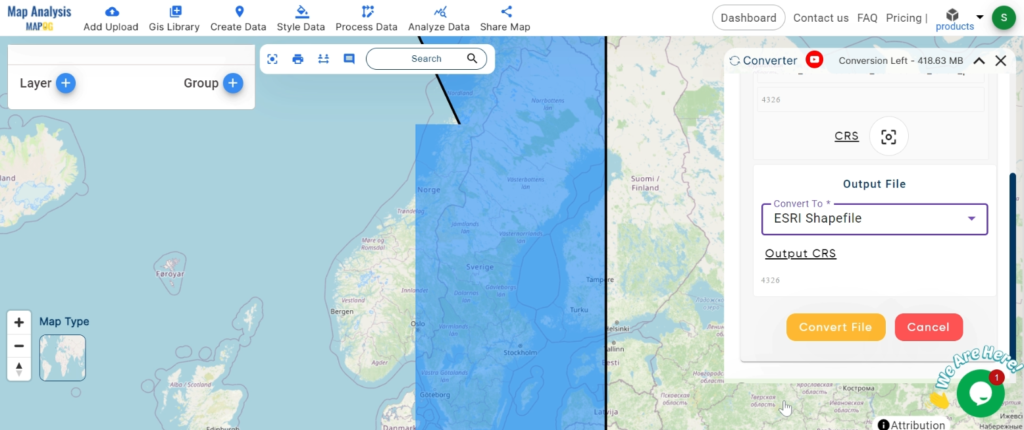
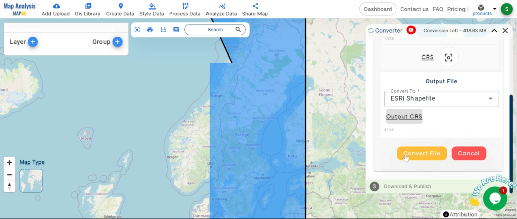
Once the appropriate dataset is selected and verified on the map, proceed to download. You can choose between a sample version or full dataset. Then, pick the file format you need — such as Shapefile, KML, GeoJSON, MID, or others — agree to the usage terms, and download with a single click. The files are instantly ready for integration into your GIS workflow.
Final Thoughts
Whether you’re an urban planner, public policy researcher, GIS analyst, or a civic tech innovator, having access to structured, multi-format administrative location data is vital. Thanks to GIS Data by MAPOG, the process to download Townhall Data is both accessible and intuitive. Its smart search tools, data filters, and visualization options make it a go-to resource for high-quality, location-based datasets.
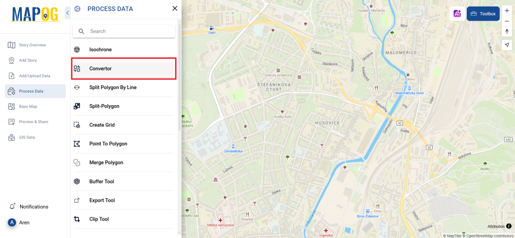
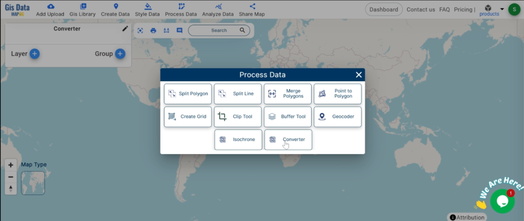
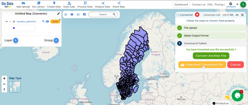
With MAPOG’s versatile toolkit, you can effortlessly upload vector and upload Excel or CSV data, incorporate existing layers, perform Split polygon by line, use the converter for various formats, calculate isochrones, and utilize the Export Tool.
For any questions or further assistance, feel free to reach out to us at support@mapog.com. We’re here to help you make the most of your GIS data.
Download Shapefile for the following:
- World Countries Shapefile
- Australia
- Argentina
- Austria
- Belgium
- Brazil
- Canada
- Denmark
- Fiji
- Finland
- Germany
- Greece
- India
- Indonesia
- Ireland
- Italy
- Japan
- Kenya
- Lebanon
- Madagascar
- Malaysia
- Mexico
- Mongolia
- Netherlands
- New Zealand
- Nigeria
- Papua New Guinea
- Philippines
- Poland
- Russia
- Singapore
- South Africa
- South Korea
- Spain
- Switzerland
- Tunisia
- United Kingdom Shapefile
- United States of America
- Vietnam
- Croatia
- Chile
- Norway
- Maldives
- Bhutan
- Colombia
- Libya
- Comoros
- Hungary
- Laos
- Estonia
- Iraq
- Portugal
- Azerbaijan
- Macedonia
- Romania
- Peru
- Marshall Islands
- Slovenia
- Nauru
- Guatemala
- El Salvador
- Afghanistan
- Cyprus
- Syria
- Slovakia
- Luxembourg
- Jordan
- Armenia
- Haiti And Dominican Republic
- Malta
- Djibouti
- East Timor
- Micronesia
- Morocco
- Liberia
- Kosovo
- Isle Of Man
- Paraguay
- Tokelau
- Palau
- Ile De Clipperton
- Mauritius
- Equatorial Guinea
- Tonga
- Myanmar
- Thailand
- New Caledonia
- Niger
- Nicaragua
- Pakistan
- Nepal
- Seychelles
- Democratic Republic of the Congo
- China
- Kenya
- Kyrgyzstan
- Bosnia Herzegovina
- Burkina Faso
- Canary Island
- Togo
- Israel And Palestine
- Algeria
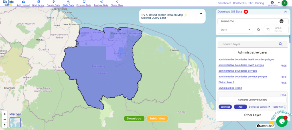
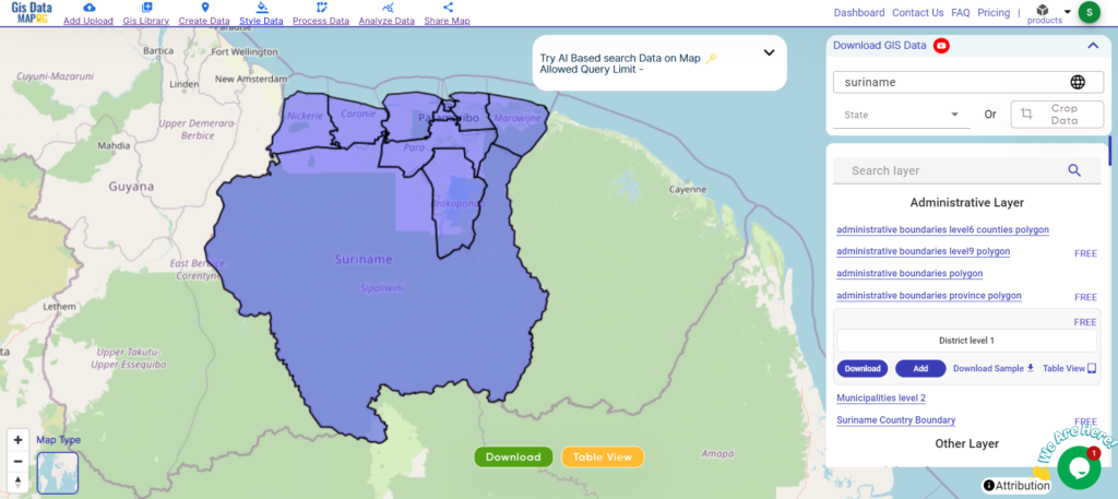
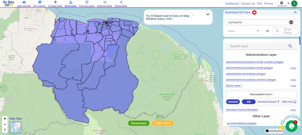
- Suriname
- Angola
- Cape Verde
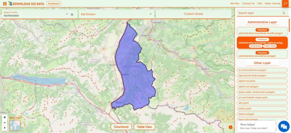
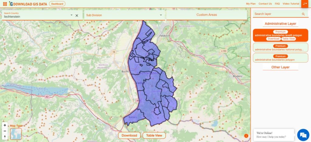
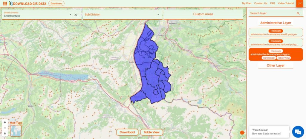
- Liechtenstein
- Taiwan
- Turkmenistan
- Tuvalu
- Ivory Coast
- Moldova
- Somalia
- Belize
- Swaziland
- Solomon Islands
- North Korea
- Sao Tome And Principe
- Guyana
- Serbia
- Senegal And Gambia
- Faroe Islands
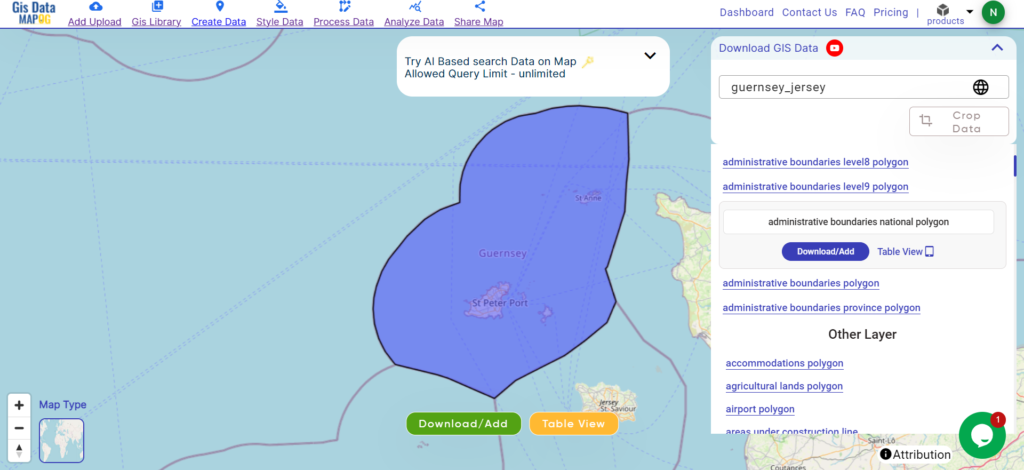
- Guernsey Jersey
- Monaco
- Tajikistan
- Pitcairn
Disclaimer : The GIS data provided for download in this article was initially sourced from OpenStreetMap (OSM) and further modified to enhance its usability. Please note that the original data is licensed under the Open Database License (ODbL) by the OpenStreetMap contributors. While modifications have been made to improve the data, any use, redistribution, or modification of this data must comply with the ODbL license terms. For more information on the ODbL, please visit OpenStreetMap’s License Page.
Here are some blogs you might be interested in:
- Download Airport data in Shapefile, KML , MIf +15 GIS format – Filter and download
- Download Bank Data in Shapefile, KML, GeoJSON, and More – Filter and Download
- Download Railway data in Shapefile, KML, GeojSON +15 GIS format
- Download Farmland Data in Shapefile, KML, GeoJSON, and More – Filter and Download
- Download Pharmacy Data in Shapefile, KML, GeoJSON, and More – Filter and Download
- Download ATM Data in Shapefile, KML, MID +15 GIS Formats Using GIS Data by MAPOG
- Download Road Data in Shapefile, KML, GeoJSON, and 15+ GIS Form