i
GIS
MAP
Home
Book a Meeting
Blogs
Login / Register
Tag
Tag: administrative divisions
44 posts
GIS
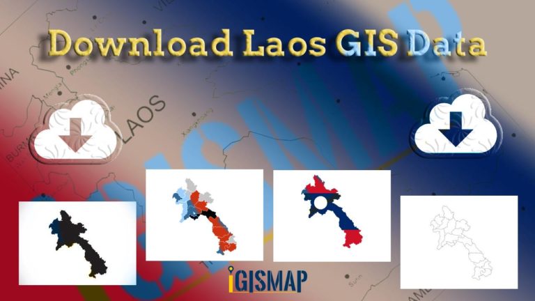
Download Laos Administrative Boundary Shapefiles – provinces, districts and more
Calling all GIS enthusiasts! IGISMAP welcomes you to a remarkable journey. Discover the power of mapping with Laos's administrative boundary shapefiles, featuring…
3 min read
→
GIS Data Download
Download Hungary Administrative Boundary Shapefiles – Regions, County and more
IGISMAP introduces Hungary's comprehensive GIS data collection, featuring administrative boundaries, regions, counties, municipalities, and more in formats like ESRI Shapefile, KML, GeoJSON,…
4 min read
→
GIS
Download Libya Administrative Boundary Shapefiles – National, Districts and more
Access Libya GIS data of administrative boundaries, national, districts, in formats - shapefile, KML, GeoJSON, CSV, KMZ
4 min read
→
GIS
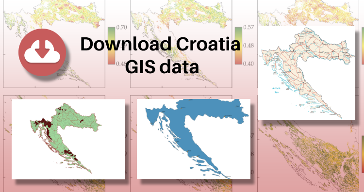
Download Croatia Administrative Boundary GIS Data – Shapefiles – County, Municipalities
IGISMAP has unveiled Croatia's GIS data collection, including shapefiles for essential administrative divisions such as counties and municipalities. Accessible in various formats…
3 min read
→
Posts pagination
‹
1
…
4
5
Exit mobile version
We use cookies to ensure that we give you the best experience on our website. If you continue to use this site we will assume that you are happy with it.
Ok