 GIS
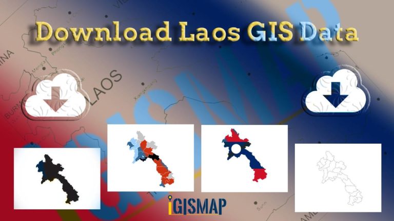
Download Laos Administrative Boundary Shapefiles – provinces, districts and more
Calling all GIS enthusiasts! IGISMAP welcomes you to a remarkable journey. Discover the power of mapping with Laos's administrative boundary shapefiles, featuring…
3 min read
→
GIS Data Download
Download Hungary Administrative Boundary Shapefiles – Regions, County and more
IGISMAP introduces Hungary's comprehensive GIS data collection, featuring administrative boundaries, regions, counties, municipalities, and more in formats like ESRI Shapefile, KML, GeoJSON,…
4 min read
→
GIS
Download Libya Administrative Boundary Shapefiles – National, Districts and more
Access Libya GIS data of administrative boundaries, national, districts, in formats - shapefile, KML, GeoJSON, CSV, KMZ
4 min read
→
 GIS
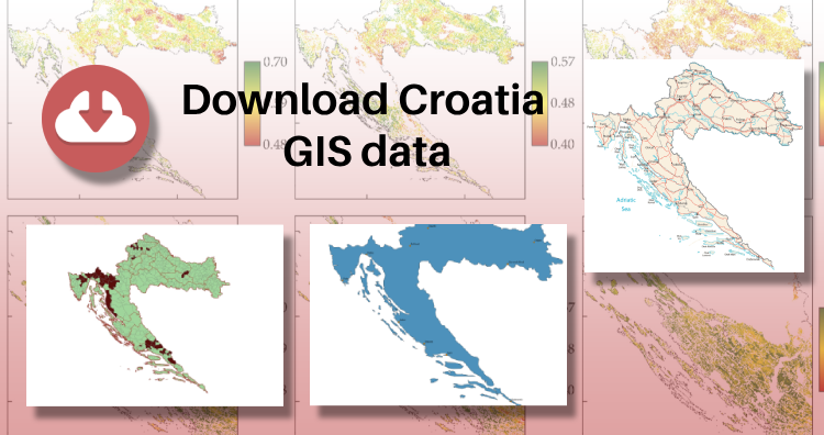
Download Croatia Administrative Boundary GIS Data – Shapefiles – County, Municipalities
IGISMAP has unveiled Croatia's GIS data collection, including shapefiles for essential administrative divisions such as counties and municipalities. Accessible in various formats…
3 min read
→