Easily explore Micronesia’s geography with MAPOG. Find a variety of datasets, including detailed info about borders, rivers, roads, and airports. Using tools like Download GIS Data and Add GIS Data is simple. You can choose formats like Shapefile, KML, GeoJSON, and CSV with the Download GIS Data tool. For a clear guide on using the Add GIS Data tool, see “Getting Micronesia’s GIS Data from MAPOG.” It shows steps to get admin GIS data using Download GIS Data. Use MAPOG to confidently learn about Micronesia’s geography.
With MAPOG’s versatile toolkit, you can effortlessly upload vector, add WMS (Web Map Service) layers, upload Excel or CSV data, incorporate existing files, perform polygon splitting and merging, generate new polygon and polyline data, use the converter for various formats, conduct buffer analysis, create grids, transform points into polygons, calculate isochrones, and utilize the geocoder for precise location information.
We offer an extensive array of data formats, including KML, SHP, CSV, GeoJSON, Tab, SQL, Tiff, GML, KMZ, GPKZ, SQLITE, Dxf, MIF, TOPOJSON, XLSX, GPX, ODS, MID, and GPS, ensuring compatibility and accessibility for various applications and analyses.
Note:
- All data available are in GCS datum EPSG:4326 WGS84 CRS (Coordinate Reference System).
- You need to login for downloading the shapefile.
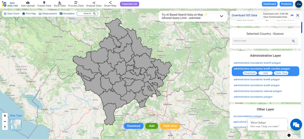
Download Shapefile Data of Micronesia
Micronesia is a region in the western Pacific Ocean that encompasses a vast area of small islands, atolls, and archipelagos. It is divided into several distinct political entities, each with its own government and level of autonomy. The region is known for its rich cultural diversity, stunning natural landscapes, and unique way of life.
The Federated States of Micronesia (FSM) is a sovereign nation composed of four states: Yap, Chuuk, Pohnpei, and Kosrae. It gained independence from the United States in 1986 and is a member of the United Nations. The capital of FSM is Palikir.
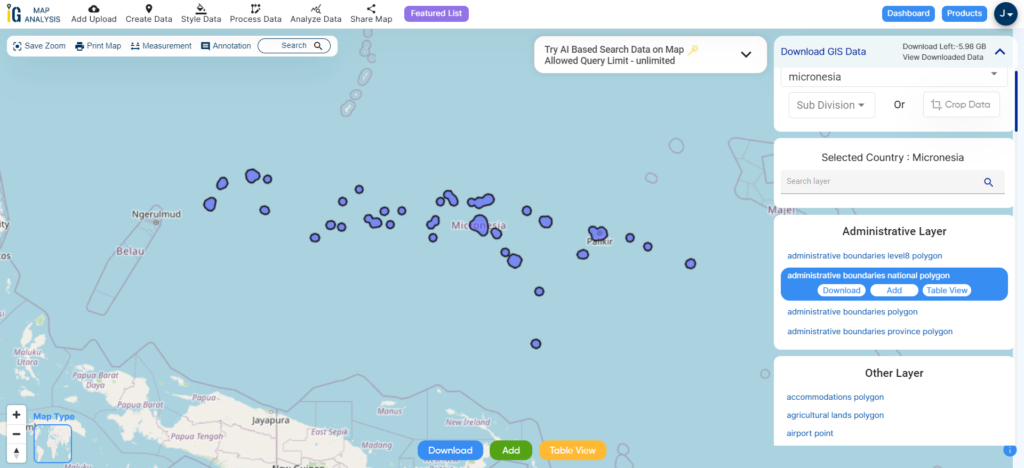
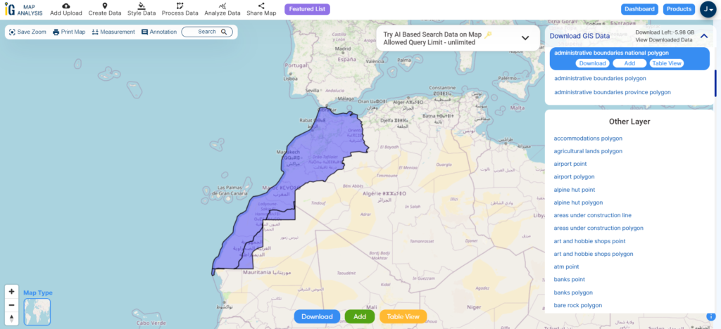
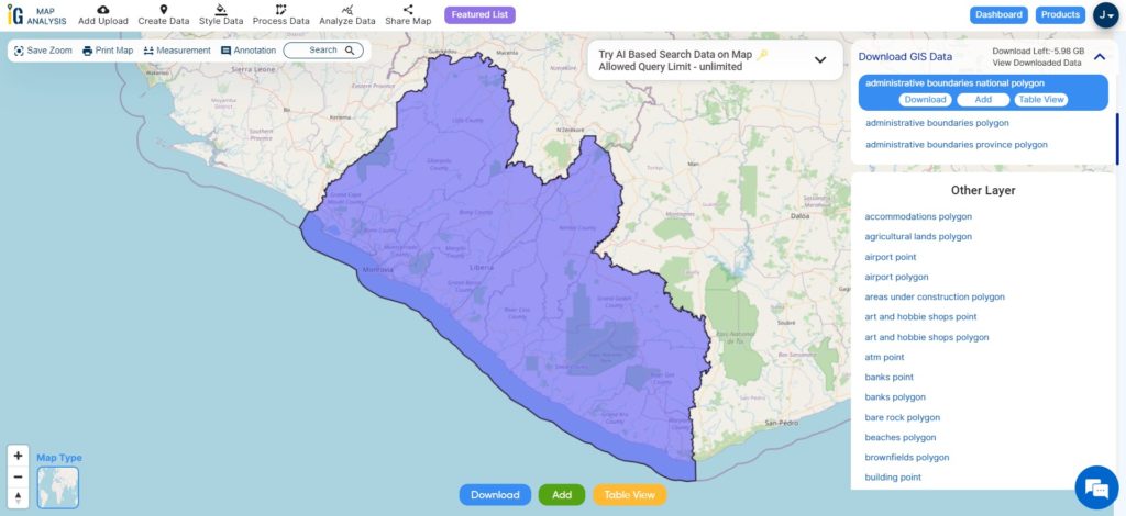
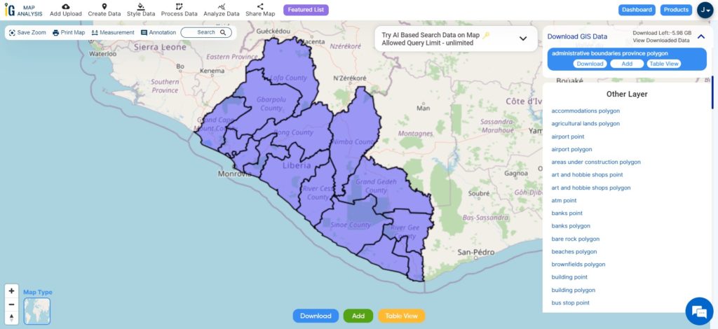
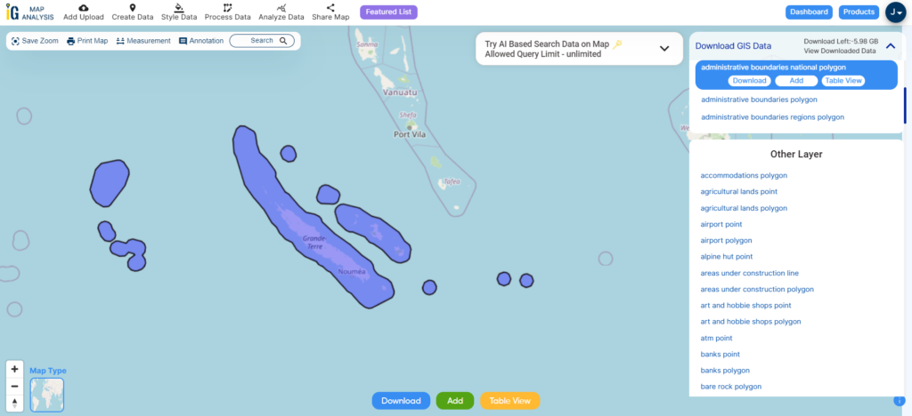
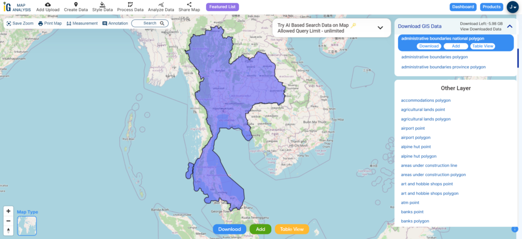
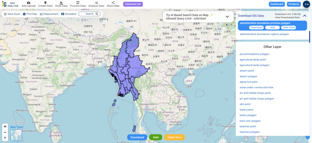
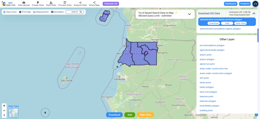
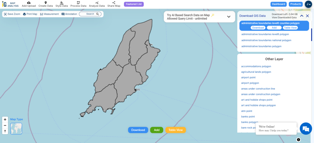
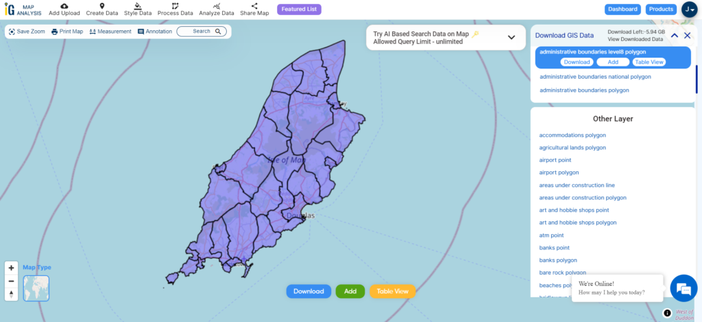
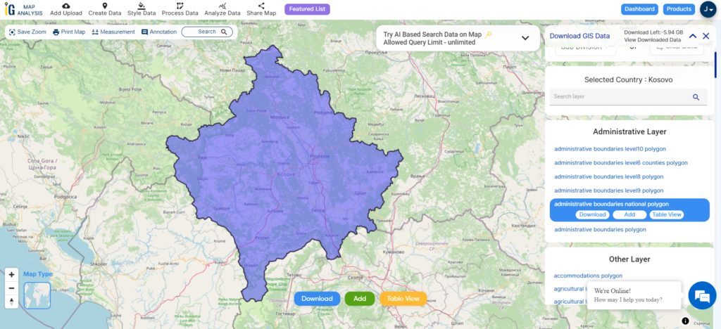
Download Micronesia National Boundary Shapefile
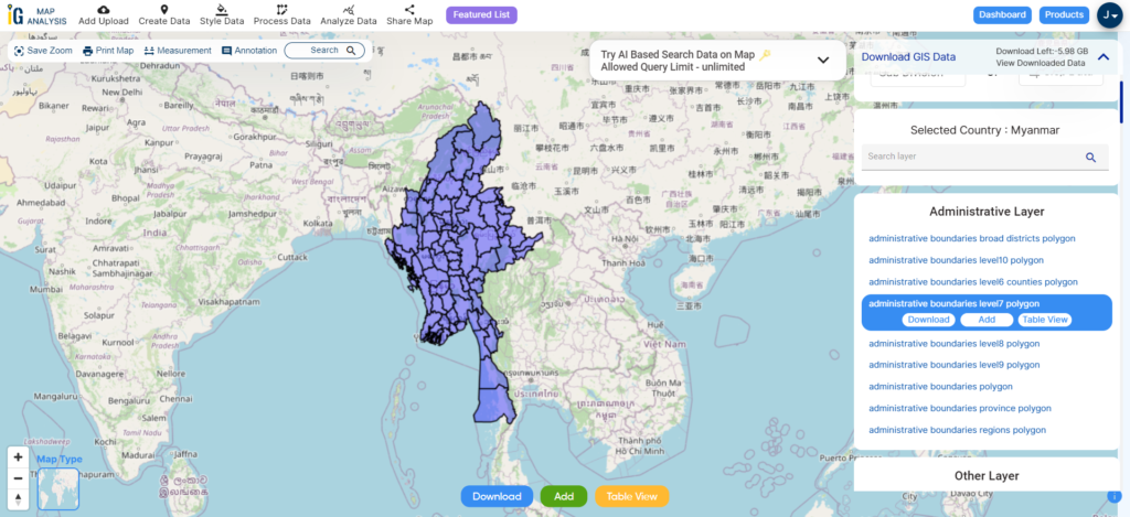
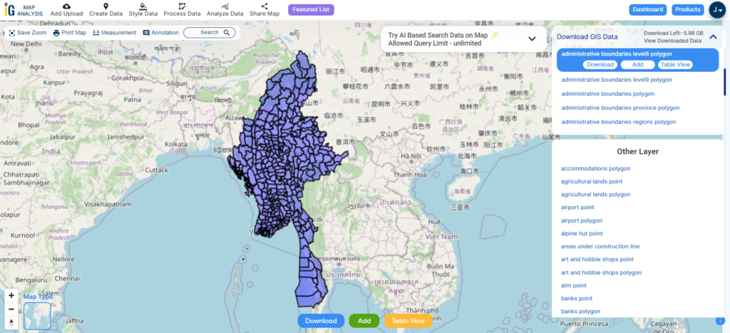
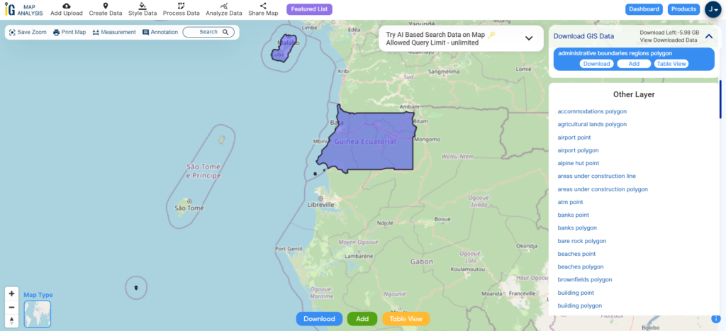
After successfully logging in with a legitimate email address, select the country you want to work with. Next, choose the specific layer you need and click on the download option. Once that’s done, pick the desired format to acquire the essential GIS data. Before proceeding with the data download, make sure to review the data table for any relevant information.
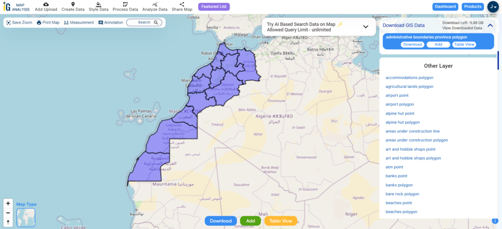
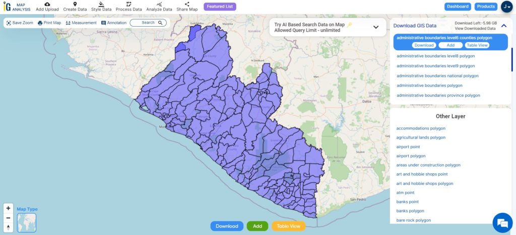
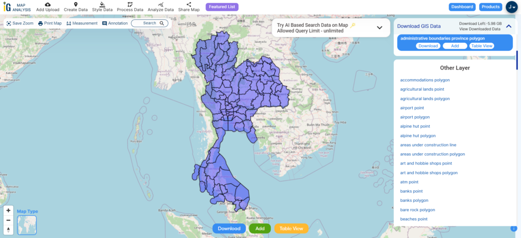
Download Micronesia States Shapefile Data
Micronesia is a region made up of various political entities, some of which are sovereign nations and others that are territories or associated states with varying degrees of autonomy. Here are the main political entities within Micronesia:
Federated States of Micronesia (FSM):
- Consists of four states: Yap, Chuuk (formerly Truk), Pohnpei, and Kosrae.
- Became an independent sovereign nation in 1986 after being administered by the United States as a Trust Territory of the Pacific Islands.
- The capital is Palikir.
- A constitutional republic with a presidential system.
Download Micronesia States Shapefile
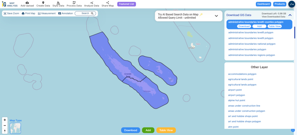
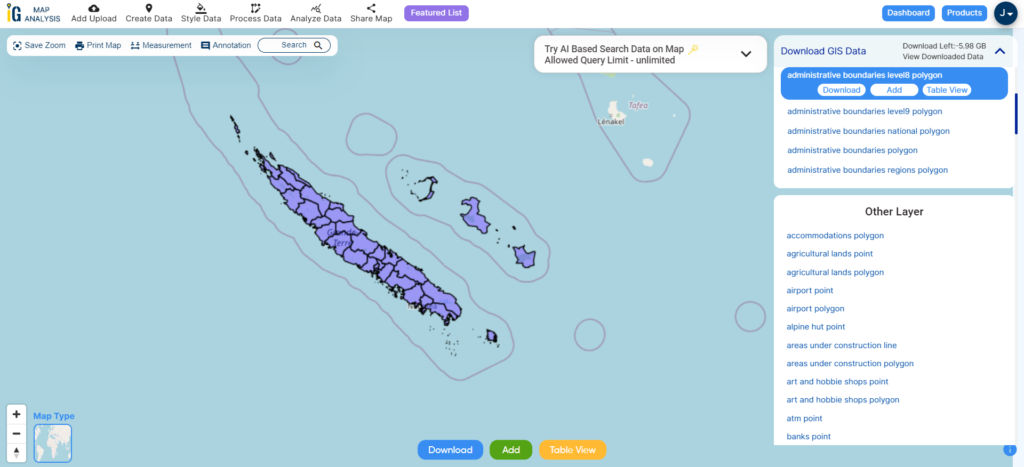
Download Micronesia Atolls and Municipality Shapefile Data
Micronesia is comprised of various atolls and municipalities spread across its different states and territories. Atolls are ring-shaped coral reefs or islands formed around a lagoon, and municipalities are administrative divisions within the states.
Download Micronesia Atolls and Municipalities Shapefile
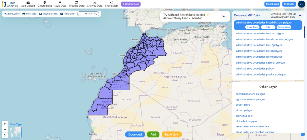
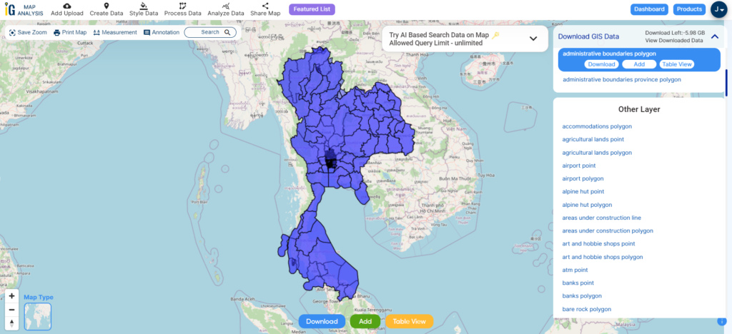
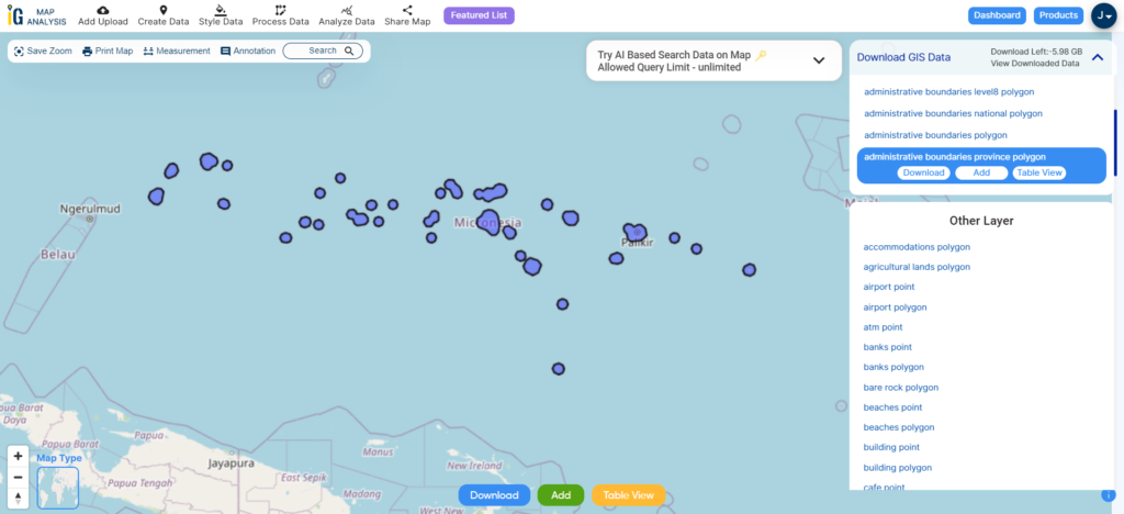
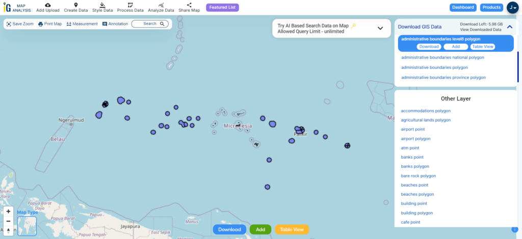
Other Administrative Boundary Data:
Other GIS Data:
- Download Micronesia Airport Point Shapefile
- Download Micronesia Highway Lines Shapefile
- Download Micronesia Road Lines Shapefile
- Download Micronesia Rivers Shapefile
Above all links are provided for GIS data of Micronesia if you are looking for any specific data please write us on support@mapog.com
Download Shapefile for the following:
- World Countries Shapefile
- Australia
- Argentina
- Austria
- Belgium
- Brazil
- Canada
- Denmark
- Fiji
- Finland
- Germany
- Greece
- India
- Indonesia
- Ireland
- Italy
- Japan
- Kenya
- Lebanon
- Madagascar
- Malaysia
- Mexico
- Mongolia
- Netherlands
- New Zealand
- Nigeria
- Papua New Guinea
- Philippines
- Poland
- Russia
- Singapore
- South Africa
- South Korea
- Spain
- Switzerland
- Tunisia
- United Kingdom Shapefile
- United States of America
- Vietnam
- Croatia
- Chile
- Norway
- Maldives
- Bhutan
- Colombia
- Libya
- Comoros
- Hungary
- Laos
- Estonia
- Iraq
- Portugal
- Azerbaijan
- Macedonia
- Romania
- Peru
- Marshall Islands
- Slovenia
- Nauru
- Guatemala
- El Salvador
- Afghanistan
- Cyprus
- Syria
- Slovakia
- Luxembourg
- Jordan
- Armenia
- Haiti And Dominican Republic
Disclaimer : If you find any shapefile data of country provided is incorrect do contact us or comment below, so that we will correct the same in our system as well we will try to correct the same in openstreetmap.