IGISMAP introduces the Maldives’ GIS data collection, encompassing administrative boundaries such as national boundaries and atolls, available for download in various formats including ESRI Shapefile, KML, GeoJSON, and CSV, providing GIS enthusiasts with the opportunity to explore and analyze geographic and administrative features for mapping projects.
Data science and machine learning are the latest trend in education. This is due to the high demand for skilled labour in analytics and programming to extract information from raw data. In today’s world, almost all industries from social media to national security relies on data and information for decision making. Geoinformatics and location intelligence … Continue reading “Add GIS data from IGISMap (Now MAPOG) GIS data collection”
Hey! GIS user here in this blog you can download Norway shapefile GIS data. IGISMAP have collection for more than 100 new countries. Links for downloading the shapefiles of the important administrative divisions of Norway are provided in the following. You can also download these data in any format like KML, GeoJSON, or CSV etc. … Continue reading “Download Norway Administrative Boundary Shapefiles – Regional State Administrative Agencies, Municipalities”
That’s fantastic news! GIS enthusiasts will definitely appreciate the availability of GIS data for over 100 new countries. If you’re interested in obtaining shapefiles of the important administrative divisions of Chile, you can find the download links for various formats such as KML, GeoJSON, and CSV on the IGISMAP website. These files will allow you … Continue reading “Download Chile Administrative Boundary Shapefiles – Regional State Administrative Agencies, Municipalities & more”
IGISMAP has unveiled Croatia’s GIS data collection, including shapefiles for essential administrative divisions such as counties and municipalities. Accessible in various formats like KML, GeoJSON, and CSV, this dataset empowers GIS enthusiasts to explore and analyze Croatia’s geographical information for mapping and analysis purposes.
GIS Training and Consultancy Services Our GIS training and consultancy service provides comprehensive training in Geographic Information Systems (GIS) and offers consultancy services to support organizations in using GIS to make informed decisions. Our team of experienced GIS professionals will work with your organization to develop customized training programs that align with your needs and … Continue reading “”
Great news for all GIS admirers. IGISMAP have recently published with GIS data collection for more than 100 new countries. Links for downloading the shapefiles of the important administrative divisions of Finland are provided in the following. You can also download these data in KML, GeoJSON or CSV formats. Note: Download Free Shapefile Data of … Continue reading “Download Finland Administrative Boundary Shapefiles – Regional State Administrative Agencies, Municipalities and more”

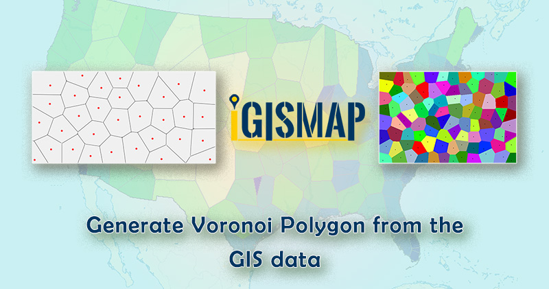
Developing polygon boundaries from GIS points is an important geostatistical process. IGISMap provides a Point to Polygon tool to create polygons from the point of input point GIS data. Conversion of point to polygon in IGISMap is based on Voronoi theorem. These polygons are called Voronoi polygons. In mathematics, a Voronoi diagram is a division … Continue reading “Generate Voronoi Polygon from the GIS data”

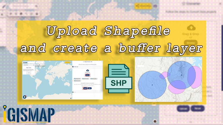
Consider that you are working in the urban planning sector. Higher authorities in the sector have decided to develop the surroundings of the bank area. Your senior has assigned you a project to create a buffer so that later the architect can design the area separately. When you are working with spatial operations and analysis, … Continue reading “Upload your shapefile and create a buffer layer”