Google Indoor Maps – Navigate Inside the building
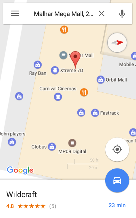
We all are using the Google maps on a very high frequency that we find it very easy to reach any new place without a fear of getting distract route , we are all so comfortable using the Google Maps because of the way they offers the dynamic features. Google maps has ample of features … Continue reading “Google Indoor Maps – Navigate Inside the building”