Download Hungary Administrative Boundary Shapefiles – Regions, County and more

IGISMAP introduces Hungary’s comprehensive GIS data collection, featuring administrative boundaries, regions, counties, municipalities, and more in formats like ESRI Shapefile, KML, GeoJSON, and CSV, providing GIS enthusiasts with a wealth of up-to-date geographic information for mapping and analysis.
Download Libya Administrative Boundary Shapefiles – National, Districts and more

Access Libya GIS data of administrative boundaries, national, districts, in formats – shapefile, KML, GeoJSON, CSV, KMZ

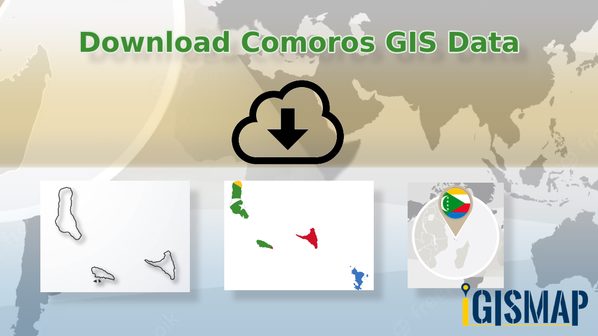
Download Comoros Administrative Boundary Shapefiles – National, Islands, Communes and more

Download Comoros Shapefile, Comoros National Boundary, Comoros Islands & Communes, download gis data in kml, csv, Geojson, tab, tiff, gml et

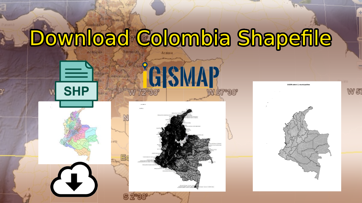
Download Colombia Administrative Boundary Shapefiles – National , Provinces and more

Download Colombia Shapefile Maps – Colombia National Boundary, Colombia Provinces, Roads, Airports, Railway & Highway Lines

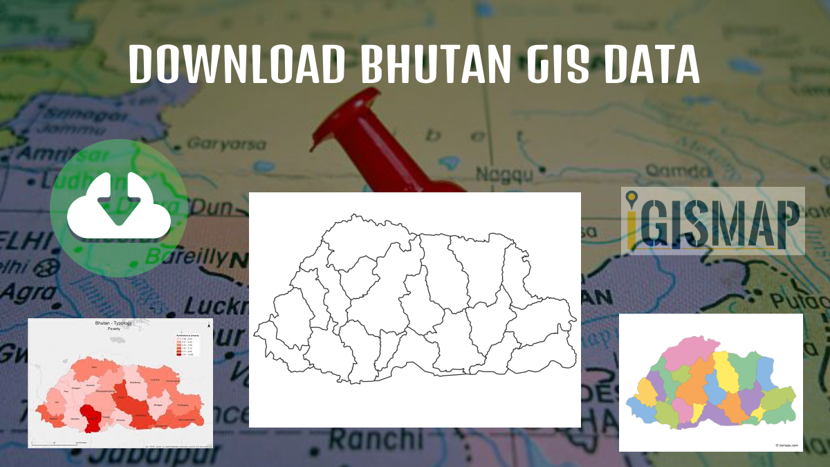
Download Bhutan Administrative Boundary Shapefiles – Districts, Sub-Districts -GIS data

Download Bhutan Map Shapefile GIS Data, Bhutan Districts , Bhutan Villages Shapefile data. Available in Shapefile, KML, GeoJSON, CSV

Download Maldives Administrative Boundary GIS Data – Provinces, Atolls and more

IGISMAP introduces the Maldives’ GIS data collection, encompassing administrative boundaries such as national boundaries and atolls, available for download in various formats including ESRI Shapefile, KML, GeoJSON, and CSV, providing GIS enthusiasts with the opportunity to explore and analyze geographic and administrative features for mapping projects.

Add GIS data from IGISMap (Now MAPOG) GIS data collection

Data science and machine learning are the latest trend in education. This is due to the high demand for skilled labour in analytics and programming to extract information from raw data. In today’s world, almost all industries from social media to national security relies on data and information for decision making. Geoinformatics and location intelligence … Continue reading “Add GIS data from IGISMap (Now MAPOG) GIS data collection”

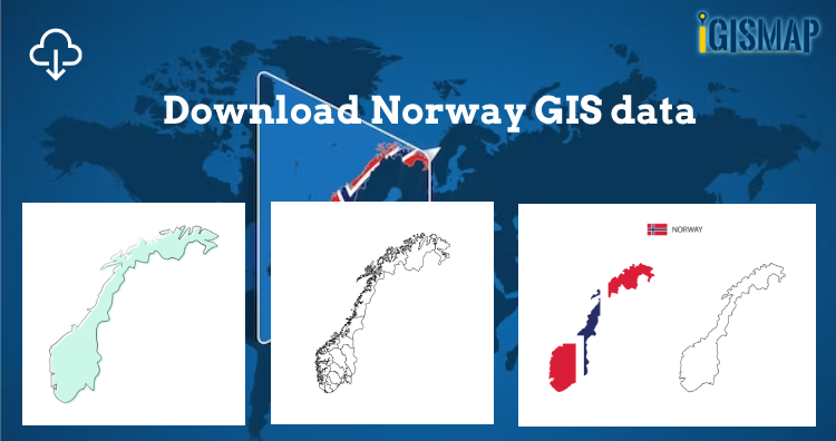
Download Norway Administrative Boundary Shapefiles – Regional State Administrative Agencies, Municipalities

Hey! GIS user here in this blog you can download Norway shapefile GIS data. IGISMAP have collection for more than 100 new countries. Links for downloading the shapefiles of the important administrative divisions of Norway are provided in the following. You can also download these data in any format like KML, GeoJSON, or CSV etc. … Continue reading “Download Norway Administrative Boundary Shapefiles – Regional State Administrative Agencies, Municipalities”

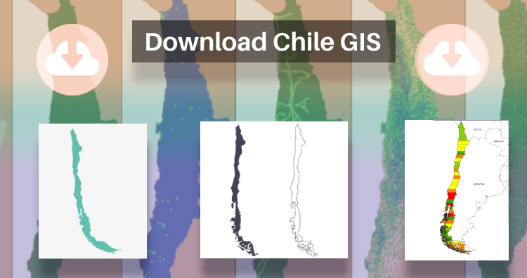
Download Chile Administrative Boundary Shapefiles – Regional State Administrative Agencies, Municipalities & more

That’s fantastic news! GIS enthusiasts will definitely appreciate the availability of GIS data for over 100 new countries. If you’re interested in obtaining shapefiles of the important administrative divisions of Chile, you can find the download links for various formats such as KML, GeoJSON, and CSV on the IGISMAP website. These files will allow you … Continue reading “Download Chile Administrative Boundary Shapefiles – Regional State Administrative Agencies, Municipalities & more”

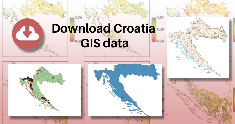
Download Croatia Administrative Boundary GIS Data – Shapefiles – County, Municipalities

IGISMAP has unveiled Croatia’s GIS data collection, including shapefiles for essential administrative divisions such as counties and municipalities. Accessible in various formats like KML, GeoJSON, and CSV, this dataset empowers GIS enthusiasts to explore and analyze Croatia’s geographical information for mapping and analysis purposes.