Merge more than two Shapefile in QGIS

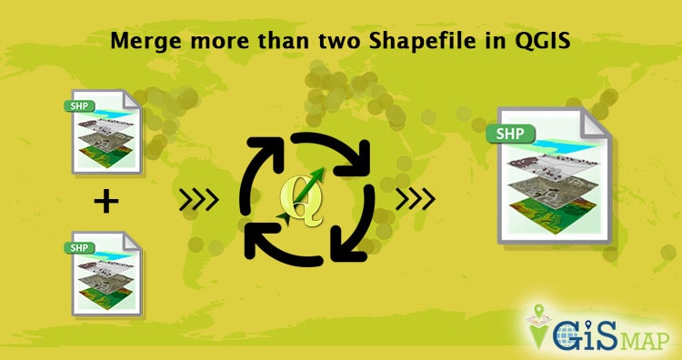
Merge more than two Shapefile in QGIS. Do you want to merge two or more than two Shapefile? Do all the Shapefile are of same shape type i.e the Shapefile which can be merged with each other should have an identical shape, i.e either  “Point”, “Line” or “Polygon”? Do Shapefile all 3 files i.e .shx, .shp and … Continue reading “Merge more than two Shapefile in QGIS”

Pan-sharpening images using ArcGIS

Pan-sharpening images using ArcGIS. Pansharpening is the process which makes use of panchromatic image and some bands of multispectral image to result in a high resolution image. Pansharpening stands for panchromatic sharpening. Here sharpening basic refers to increase the spatial resolution of multisprectral image or color image. This technique of increasing resolution has been used … Continue reading “Pan-sharpening images using ArcGIS”

c++ program to read shapefile header

c++ program to read shapefile header. Shapefile can be read if you know the format of Shapefile files i.e of .shp, .shx, and .dbf file. ESRI provided technical description of the Shapefile files which describes very clearly about the format of storage of data in all three formats i.e .shp, .shx and .dbf. You can … Continue reading “c++ program to read shapefile header”

Get minimum Bounding box of shapefile c++ program

Get minimum Bounding box of shapefile c++ program. This program not only reads shapefile, but makes you aware to read other files, i.e files which have .dbf, .exe, .png etc format without having software. Before that you should know about bits, byte order, and conversion of bytes to other data types and most importantly the format of … Continue reading “Get minimum Bounding box of shapefile c++ program”

What is GIS | Geographic Information System

What is GIS | Geographic Information System? GIS is an Abbreviation of Geographical Information System or Geo-spatial Information Systems or Geologic Information Systems (also Geo-spatial database management). As the name suggest ‘GIS’ is related to geographical information. But before explaining what is GIS?, we should know about what Geographic information means? Geographic information is knowledge of where something is. It defines the spatial reference of … Continue reading “What is GIS | Geographic Information System”

Convert Shapefile to kml by QGIS

Convert Shapefile to kml by QGIS. Shapefile is ESRI based Vector file, While KML or Keyhole Markup Language is file which models and stores geographic features for display in Google Earth or Google maps. Many times you may require to convert the required shapefile to KML file, so that you can deploy the same over Google Earth for some reason. QGIS (Quantum GIS) is … Continue reading “Convert Shapefile to kml by QGIS”

Convert KML to Shapefile in QGIS

Convert KML to Shapefile in QGIS. KML or Keyhole markup language file which store and models geographic features for displaying in Google earth or Google maps, which is not common in use for Map makers and GIS programmers. ESRI made a standard Vector file i.e Shapefile which is most commonly adopted in the field of … Continue reading “Convert KML to Shapefile in QGIS”

How to remove gaps from a polygon layer file in ArcGIS?

How to remove gaps from a polygon layer file in ArcGIS? While preparing polygon layer file following various stages of layer preparation like Digitization, Spatial adjustment, Merging and Cleaning. This is what making it suitable to be used by a web application as an input. While layer file should be accurate with minimum error before … Continue reading “How to remove gaps from a polygon layer file in ArcGIS?”