Download Slovenia Administrative Boundary GIS Data for – National, Municipality and more

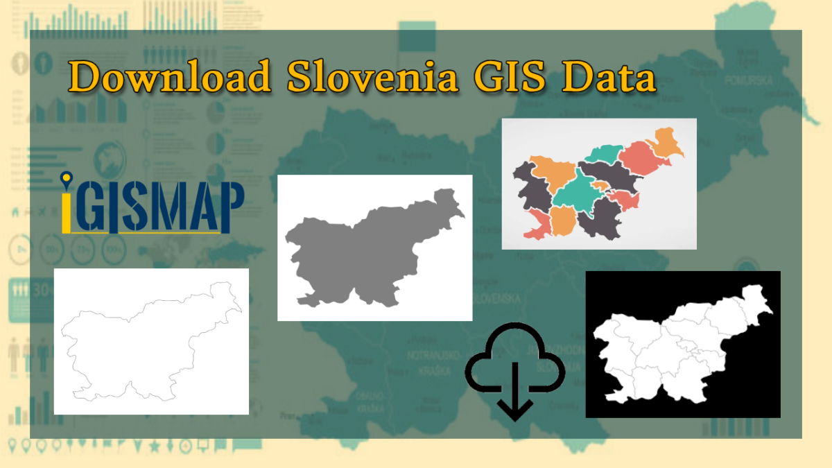
Step into the world of mapping possibilities! IGISMAP offers an exclusive chance: download Slovenia’s administrative boundary GIS data, covering national, municipality, and more.

Download Marshall Islands Administrative Boundary GIS Data for – National, Atolls and more

Step into the world of mapping possibilities! IGISMAP offers an exclusive chance: download Marshall Islands’ administrative boundary GIS data, covering national, atolls, and more.

Download Peru Administrative Boundary Shapefiles – National, Regions, Province, Districts and More

Download Peru administrative boundaries shapefiles Peru National , regions , provinces , districts and more.

Download Romania Administrative Boundary GIS Data for – National, County, Communes and more

Download Romania’s administrative boundary GIS data, including national, county, and commune divisions. Access accurate geographic information for enhanced analysis and projects.

Download Macedonia Administrative Boundary Shapefiles – National , Regions , Villages and More

Download Macedonia administrative boundary shapefiles- Macedonia National , Regions , Villages Shapefile and more.

Download Azerbaijan Administrative Boundary Shapefile – Regions, Districts and more

Step into the world of mapping possibilities! IGISMAP offers an exclusive chance: download Azerbaijan’s administrative boundary shapefile, encompassing regions, districts, and more. Elevate your mapping projects with these comprehensive GIS datasets. Don’t miss out on this opportunity for enriched exploration and mapping!

Download Portugal Administrative Boundary GIS Data – Regions, Districts and more

IGISMAP introduces a remarkable opportunity: download Portugal’s administrative boundary GIS data, encompassing regions, districts, and beyond. Elevate your mapping projects with these extensive GIS datasets.

Download Iraq Administrative Boundary GIS Data – governorates Districts and more

Download Iraq’s administrative boundary GIS data, covering governorates and districts. Elevate your mapping projects with comprehensive GIS data sets.

Download Estonia Administrative Boundary Shapefiles – National , Counties, Villages and More

Download Shapefile Maps –Estonia National Boundary, Estonia Counties, Municipalities, Estonia Villages and Districts Shapefile.

Download Laos Administrative Boundary Shapefiles – provinces, districts and more

Calling all GIS enthusiasts! IGISMAP welcomes you to a remarkable journey. Discover the power of mapping with Laos’s administrative boundary shapefiles, featuring provinces, districts, and more. Elevate your projects with these comprehensive GIS datasets, paving the way for enriched exploration and mapping. Don’t miss this opportunity to redefine your mapping endeavors!