Download Romania Administrative Boundary GIS Data for – National, County, Communes and more

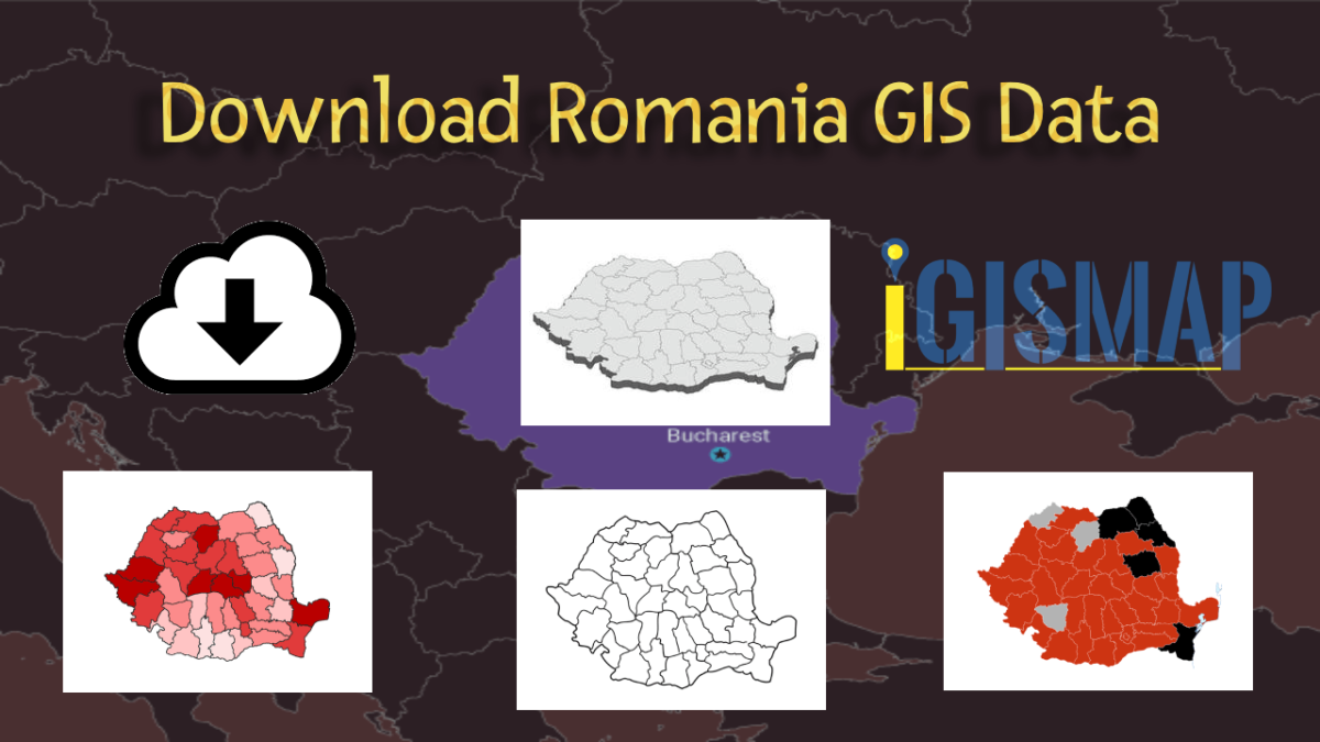
Download Romania’s administrative boundary GIS data, including national, county, and commune divisions. Access accurate geographic information for enhanced analysis and projects.

Download Macedonia Administrative Boundary Shapefiles – National , Regions , Villages and More

Download Macedonia administrative boundary shapefiles- Macedonia National , Regions , Villages Shapefile and more.

Download Azerbaijan Administrative Boundary Shapefile – Regions, Districts and more

Step into the world of mapping possibilities! IGISMAP offers an exclusive chance: download Azerbaijan’s administrative boundary shapefile, encompassing regions, districts, and more. Elevate your mapping projects with these comprehensive GIS datasets. Don’t miss out on this opportunity for enriched exploration and mapping!

Download Portugal Administrative Boundary GIS Data – Regions, Districts and more

IGISMAP introduces a remarkable opportunity: download Portugal’s administrative boundary GIS data, encompassing regions, districts, and beyond. Elevate your mapping projects with these extensive GIS datasets.

Download Iraq Administrative Boundary GIS Data – governorates Districts and more

Download Iraq’s administrative boundary GIS data, covering governorates and districts. Elevate your mapping projects with comprehensive GIS data sets.

Download Estonia Administrative Boundary Shapefiles – National , Counties, Villages and More

Download Shapefile Maps –Estonia National Boundary, Estonia Counties, Municipalities, Estonia Villages and Districts Shapefile.

Download Laos Administrative Boundary Shapefiles – provinces, districts and more

Calling all GIS enthusiasts! IGISMAP welcomes you to a remarkable journey. Discover the power of mapping with Laos’s administrative boundary shapefiles, featuring provinces, districts, and more. Elevate your projects with these comprehensive GIS datasets, paving the way for enriched exploration and mapping. Don’t miss this opportunity to redefine your mapping endeavors!

Download Hungary Administrative Boundary Shapefiles – Regions, County and more

IGISMAP introduces Hungary’s comprehensive GIS data collection, featuring administrative boundaries, regions, counties, municipalities, and more in formats like ESRI Shapefile, KML, GeoJSON, and CSV, providing GIS enthusiasts with a wealth of up-to-date geographic information for mapping and analysis.

Download Libya Administrative Boundary Shapefiles – National, Districts and more

Access Libya GIS data of administrative boundaries, national, districts, in formats – shapefile, KML, GeoJSON, CSV, KMZ

Download Comoros Administrative Boundary Shapefiles – National, Islands, Communes and more

Download Comoros Shapefile, Comoros National Boundary, Comoros Islands & Communes, download gis data in kml, csv, Geojson, tab, tiff, gml et