Digitization in QGIS – Exploring tools for Digitizing

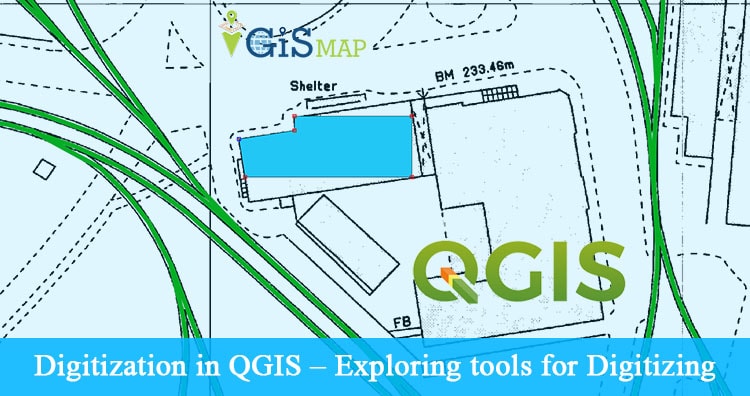
Digitization in QGIS – Exploring tools for Digitizing. Digitization is one of the important tasks for a GIS specialist. Digitization is a process of converting raster data to vector data. For this task QGIS provides many tools for efficient digitization. Digitization (or vectorization) should be clean and a copy of the raster data so that … Continue reading “Digitization in QGIS – Exploring tools for Digitizing”

Change projection of a georeference file in other projection – Reprojection in QGIS

Reprojection in QGIS – Change projection of a georeference file in other projection. Earth is not a complete sphere; it is referred to as spheroid. Generally QGIS use by default Latitude and longitude (WGS 84) coordinate reference system which gives measurement in degrees. Projection is a very vast topic but we will discuss some basic concept … Continue reading “Change projection of a georeference file in other projection – Reprojection in QGIS”

8 Best Alternative to Google Maps – Classic old Map

Why to look for Alternative to Google Maps – Classic old Map? Recently (around 29, April 2015) Google shut down their old classic Map and replaced it with New Google Map and lite mode. While there are many people who dont like the new Google Map as they are facing some problems like lazy loading and … Continue reading “8 Best Alternative to Google Maps – Classic old Map”

Find or Search Nearby Restaurants, shops, malls or any places in New Google maps

Find or Search Nearby Restaurants, shops, malls or any places in New Google maps. After the introduction of New Google Map and Google Lite mode Map many users are facing problems in using all features in new map, which they can easily use from old Google Classic Map as they are already used to with it. … Continue reading “Find or Search Nearby Restaurants, shops, malls or any places in New Google maps”

Google Map Route Planner – Find live public transit and Estimated time travel

Google Map Route Planner – Find live public transit and Estimated time travel. Google launched public transport Trip planner providing real time transit update for more than 800 cities world wide, for public welfare as a free service. This feature will help you know the next bus estimated time of arrival at your source, estimated time … Continue reading “Google Map Route Planner – Find live public transit and Estimated time travel”

Switch to Google Map Lite Mode (Replace classic map) – Improved Speed

Switch to Google Map Lite Mode. Google map Lite mode is introduced after dropping the old classic map support and as an alternative to it,  with more improved features which also helps in reducing the loading time to render graphics on old browsers. Many people switch back to old classic map, after the launch of … Continue reading “Switch to Google Map Lite Mode (Replace classic map) – Improved Speed”

Convert – Degree Minute Seconds to Degree Decimal Minutes to Decimal Degree format – Latitude Longitude

Convert – Degree Minute Seconds to Degree Decimal Minutes to Decimal Degree format. Geographical location information is represented in terms of Latitude and Longitude, where Latitude gives the angular distance of a point from equator to elevation either north or south, and Longitude gives the angular distance of a point east or west of the meridian. This … Continue reading “Convert – Degree Minute Seconds to Degree Decimal Minutes to Decimal Degree format – Latitude Longitude”

Formula to Find Bearing or Heading angle between two points: Latitude Longitude

Formula to Find Bearing or Heading angle between two points. Bearing or heading angle is used to define navigation generally in the field of aircraft or marine or Vehicle navigation or while working for land surveying. So what’s the heading or bearing? How we can find bearing between the two points on earth, with the … Continue reading “Formula to Find Bearing or Heading angle between two points: Latitude Longitude”

Upload or add kml or KML file on Google Earth

Upload or add kml or KML file on Google Earth. KML or KMZ is a file which models geographic features for displaying in Google Earth or Google Maps. You can easily add and upload KML file on Google Earth. This files can be easily created on Google Map or on Google Earth or on Any GIS … Continue reading “Upload or add kml or KML file on Google Earth”

Download Google Earth Pro for Free – Official License

Download Google Earth Pro for Free – Official License. Google Earth is geographical information program and virtual globe software, provided by Google over the last 10 years, which is very useful tool for scientist, GIS analyst, hobbyist and for general public. Where Google Earth basic is Free, while Google previously distributing Google Earth pro version … Continue reading “Download Google Earth Pro for Free – Official License”