Google Maps, a web mapping service of Google provides a very easy way to calculate and measure Area in google Map along with distance measurement. This would let you measure an area of any geographic location viz home, buildings, Grounds, city, etc from any where without visiting the location with just few clicks with Google Maps. Measuring … Continue reading “Measure Area in Google Map – Print and share measurement”
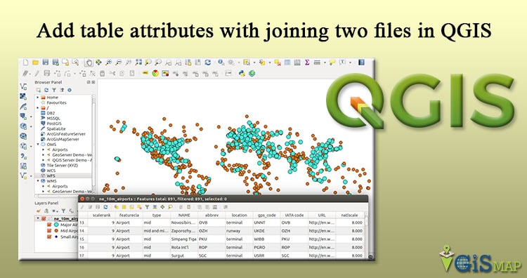
Want to add more attributes in your Shapefile to respective feature? QGIS an open source tool, which I recommend to every Geographer for use, can give you direct solution. Sometimes we need to join more attribute to a GIS vector files which ultimately provide more power to you for analysis with more attributes. For joining … Continue reading “Add table attributes with joining two files in QGIS”
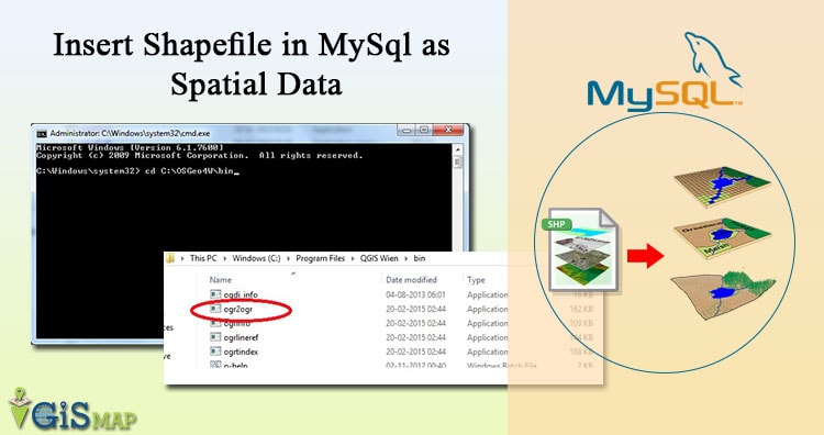
MySQL supports Spatial data type that corresponds to OpenGIS Classes. While MySQL is not one of the recommended database to store spatial data, but it definitely adds value if you have only one option to store GIS data. For instance I need to dump the Shapefile in MySQL, when I need to render the spatial … Continue reading “Insert Shapefile in MySql as Spatial Data”
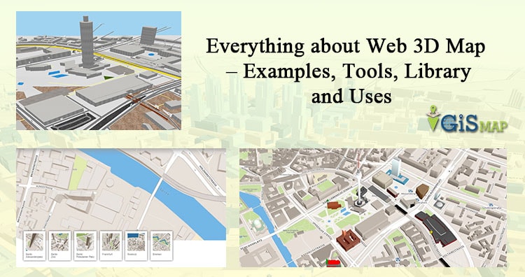
Map with third dimension on Web gives you a new way to visualize reality. Isn’t that cool if you get to know building level detail, Analyze the surface by getting elevation detail and get the actual visualization to some extent even without visiting the area. Adding third dimension to a map is an add-on for … Continue reading “Everything about Web 3D Map – Examples, Tools, Library and Uses”
How to Geo-reference Map Image with Geo Coordinate points in QGIS (Quantum GIS). Georeference is a process to associate geographic location coordinates to any kind of physical object which is physically present over a Raster image map or to a physical map, with help of other georeferenced data or with know location coordinates of some points of … Continue reading “How to Georeference Map Image with Geo Coordinate Control points”
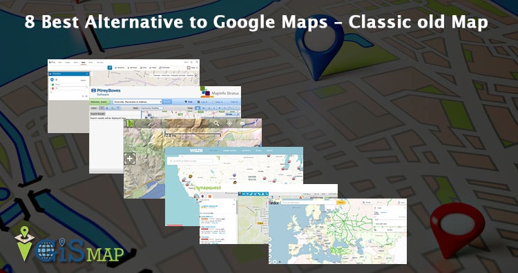
Alternatives to Google Map Engine API. You might be looking for this, as Google have announced earlier in January 2015 for Map Engine API depreciation and deactivated after January 29, 2016. This would also result in all your account Geo-referenced data losses, which you should have already exported. GME as a Google product provides mapping services … Continue reading “8 Best Alternative to Google Map Engine API”
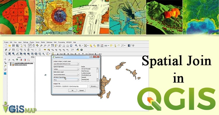
Spatial Join in QGIS – Quantum GIS an open source software. Spatial join is used for joining or transferring attributes of two vector layer based on their spatial relationship. In QGIS we can perform this task using Join Attribute by Location tool. Here we have a university spatial data where, there are 21 teaching departments … Continue reading “Spatial Join in QGIS”
“Unlock the Hidden Potential of Your Data with Maps” “Unlock the Power of Location Intelligence: GIS Services and Products That Drive Results” IGISMAP Product “Transforming Data into Insights, Maps into Opportunities” TRY IT FOR FREE or EXPLORE MORE IGISMAP Services Custom GIS Solutions: Develop and Deploy Applications for Your Unique Requirements BOOK A MEETING or … Continue reading “”
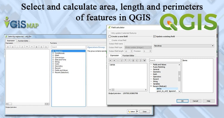
Select and calculate features according to area, length and perimeters in QGIS. Let us explore some selection technique and also how to use calculation in QGIS. To calculate these parameters we have to change the unit of the calculation to meters. If the layers are in WGS84 CRS we will get measurement in degrees, so first … Continue reading “Select and calculate area, length and perimeters of features in QGIS”