We heartily welcome all people who are willing to share their experience and knowledge in the field of GIS and mapping. We are eager to feature you and your article here which will make difference to you and other lives. To submit an article, please consider following guidelines to follow: 1.) The ideal length of an … Continue reading “Submit Article at Info GIS Map website”
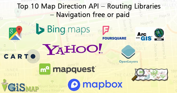
Routing and displaying direction on Map along with showing the instruction for navigation, physical distance, traffic etc is one of the important part of GIS (Geographical Information System), when working on Travel or tourism or logistic projects. Are you Looking for the best Map direction API to create Routes on Web map or map on … Continue reading “Top 10 Map Direction API – Routing Libraries – Navigation free or paid”
Download Free Shapefile Maps – Shapefile is one of the most common and extensively use vector file format of GIS (Geographical Information System), developed by ESRI as an open Specification, which consist of collection of files viz .shp, .shx and .dbf extension with same prefix name. You might be hunting to Download free shapefile for completing … Continue reading “Download Free Shapefile Maps – Country Boundary Polygon, Rail-Road, Water polyline etc”
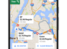
Are you running short of fuel at unknown place, while traveling form A to B? Wanted to track Near By Gas Station when there is no one to ask? Well, Google cares about your problem and so, they rolled out Android and iOS Google Map app update to locate Near By Gas Station along with other … Continue reading “Google Map track Near By Gas Station and Current Prices – Android and iOS App”
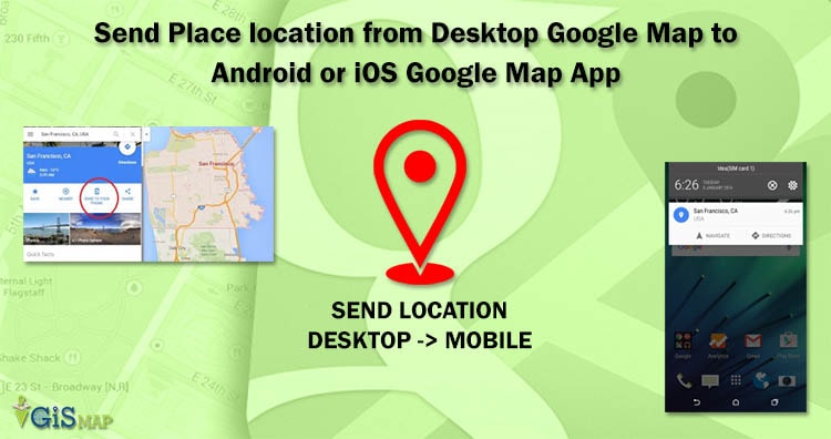
Sharing location is pretty easy in Google Maps, while Google also provided a method to directly send a location from Google Map Desktop user to the Android Mobile or iOS mobile device of Same user with pressing just one click on “SEND TO YOUR PHONE” option. Many times you might have searched the location or route on … Continue reading “Send Place location from Desktop Google Map to Android or iOS Google Map App”
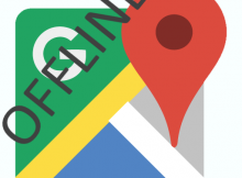
Download Save Offline Google Map on app. Map helps you to navigate and find the nearest point of Interest location when you are travelling and at unknown place. While Network service provider doesn’t guarantee you to provide full Network at each and every places you visit, which results in either no or slow internet. Keeping that … Continue reading “Download Save Offline Google Map on app – Android and iOS”
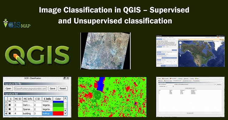
Image Classification in QGIS: Image classification is one of the most important tasks in image processing and analysis. It is used to analyze land use and land cover classes. With the help of remote sensing we get satellite images such as landsat satellite images. But these images are not enough to analyze, we need to do … Continue reading “Image Classification in QGIS – Supervised and Unsupervised classification”
Here we will see how to georeference a map with the help of another georeferenced map in QGIS (Quantum GIS). Georeference is a process to associate geographic location coordinates to any kind of physical object which is physically present over a Raster image map or to a physical map, with help of other georeferenced data or … Continue reading “Georeference a map with the help of another georeferenced map”
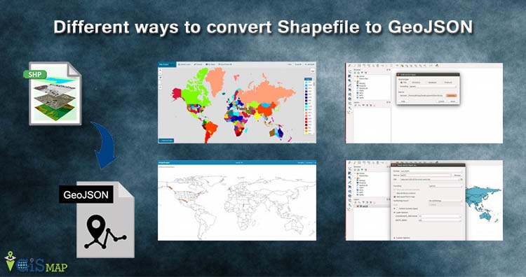
Convert Shapefile to GeoJSON. Shapefile, ESRI made a standard vector file format which is largely adopted in the field of GIS by programmers and geographers . While GeoJSON is also an open standard format designed for Web which largely supported with GIS JavaScript API, other programming API and with GIS (Geographic Information System) software tools … Continue reading “Different ways to convert Shapefile to GeoJSON – Online or Offline or API”
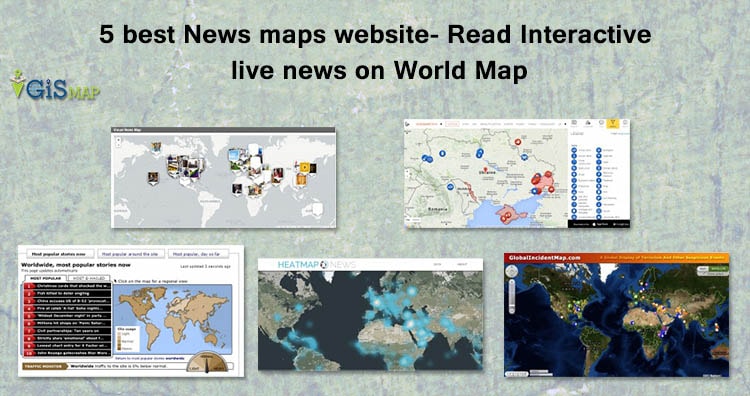
News Map Website – News, a new information either event, accident, social work, terrorists, sports, technical, launches, new innovation or election or in any form has some link with physical geographic location. How you filter latest news for a particular area or location? It would be really easy, nice and great way to filter the … Continue reading “5 best News maps website- Read Interactive live news on World Map”