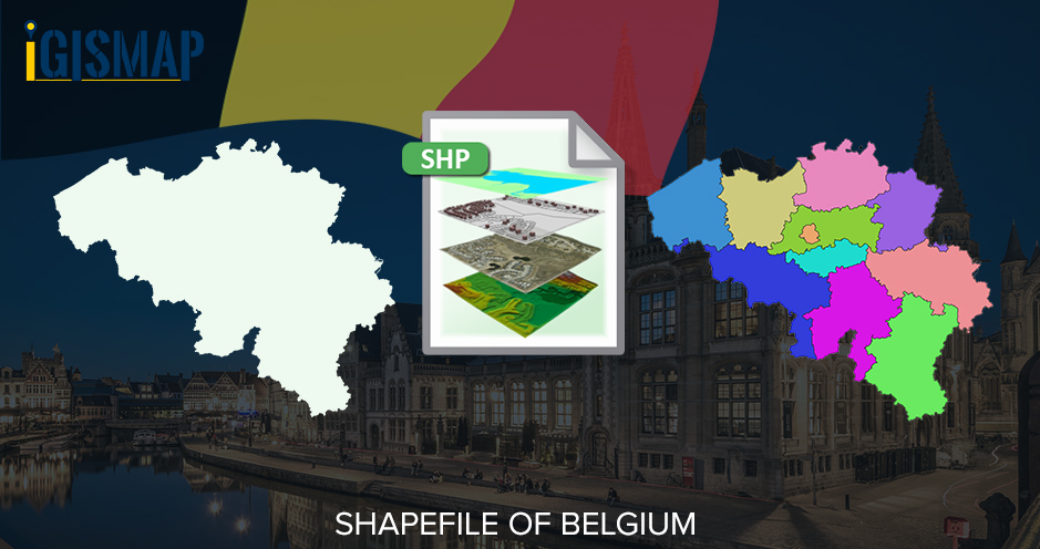
Download Belgium Administrative Boundary Shapefiles – Provinces, Arrondissements, Postal Districts and more
Hello GIS enthusiasts, IGISMAP has now published the latest GIS vector data of Belgium administrative levels. Links for downloading the shapefiles of the important administrative divisions of Belgium are provided in the following. You can also download these data in KML, GeoJSON or CSV formats. Note: Download Free Shapefile Data of Belgium Belgium officially known … Continue reading “Download Belgium Administrative Boundary Shapefiles – Provinces, Arrondissements, Postal Districts and more”

