Add or Load GeoJSON file – Point, Polyline or Polygon map – Leaflet js

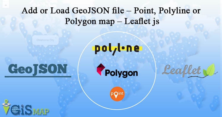
Are you looking to create a map interactive application to locate markers with points, or to highlight an area by polygon or to draw or show a river or roads line with polyline? With Leafletjs library and GeoJSON as GIS data, we can easily create a map which we are looking for and render the … Continue reading “Add or Load GeoJSON file – Point, Polyline or Polygon map – Leaflet js”