Convert GeoJSON to Shapefile

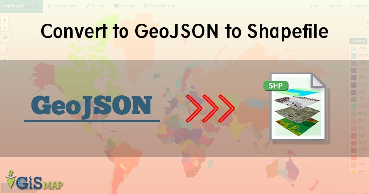
In this article we are converting GeoJSON to Shapefile shp format. You might be thinking why would anyone convert GeoJSON in shapefile. Answer is very simple Shapefile is very popular data format with open specification for data interoperability among GIS (Geographical information system) softwares. Before moving towards conversion steps we must look for GeoJSON and … Continue reading “Convert GeoJSON to Shapefile”

Leaflet FAQs – Leaflet Interview Questions

Leaflet is one of the most popular open-source JavaScript libraries for interactive maps. Simplicity, performance and usability are the major keys of the Leaflet. It create maps right from the R console or RStudio and Use map bounds and mouse events to drive Shiny logic. Leaflet allows developers without a GIS background to very easily … Continue reading “Leaflet FAQs – Leaflet Interview Questions”

Maps FAQs – Maps Interview Questions

Maps shows a emphasizing relationships between elements of some space, such as objects, regions, or themes represented symbolically. Map is the shortened term referring to a two-dimensional representation of the surface of the world. Maps are most commonly used to depict geography, maps may represent any space, real or imagined, without regard to context or scale, such as … Continue reading “Maps FAQs – Maps Interview Questions”

Vector Data file formats list in GIS

In GIS, we require some data formats to express the geographical features, which mainly are of two types Raster and Vector data formats. These data sources also has multiple file formats in them which are often used to express the geographical features. In this post we are looking forward to see the List of Vector … Continue reading “Vector Data file formats list in GIS”

Raster data file format lists in GIS

This post will describe you about the Raster data file format lists in GIS. In Geographical information system there are only two methods which are used to store data for both kinds of mapping references i.e Raster and Vector Data GIS files. And in this post we are going to talk about the various Raster … Continue reading “Raster data file format lists in GIS”

QGIS Server – Configuration and Deploying QGIS Project

In our Previous Post QGIS Server – Installation we have talked about the installation process of QGIS Server in Ubuntu and it was easy. In previous post we get the XML file with GetCapabilities working in the browser. In the following sections, we will provide a sample configuration to set up a QGIS Server on … Continue reading “QGIS Server – Configuration and Deploying QGIS Project”

QGIS Server – Installation in Ubuntu

QGIS Server is one of the best server for web map rendering and it can be also used as back end for the GIS logic. This post summarizes notes about QGIS Server – Installation in Ubuntu 16.04 LTS. As we know QGIS Server is a  FAst Common Gateway Interface application and it is written in C++ … Continue reading “QGIS Server – Installation in Ubuntu”

Connection between PostGIS and QGIS

GIS applications are tools that allow users to create interactive queries (user-created searches), analyze spatial information, edit data in maps, and present the results of all these operations. Geographic information science is the science underlying geographic concepts, applications, and systems and What goes beyond a GIS is a spatial data infrastructure, a concept that has … Continue reading “Connection between PostGIS and QGIS”

Import OSM data in Postgis – OSM2pgsql

This article lets you know how to import data in postgresql.  Open Street map (OSM) is open and free data. Anyone one can download this data. It mainly contains point data, line data, polygon data and geometry information. Data contains much information and becomes heavy i.e. upto 30GB or more. Many compression techniques are applied to … Continue reading “Import OSM data in Postgis – OSM2pgsql”

Geographical Information System (GIS) FAQs – GIS Interview Question

Geographical Information System (GIS) is a computer-based tool that is designed to capture, store, manipulate, analyze, manage, and present spatial or Geographic data, usually in a map. GIS application is a tool that allows users to create user-created searches, integrate and analyze spatial information and present the results of all these operations. GIS describes any information system … Continue reading “Geographical Information System (GIS) FAQs – GIS Interview Question”