QGIS Server – Configuration and Deploying QGIS Project

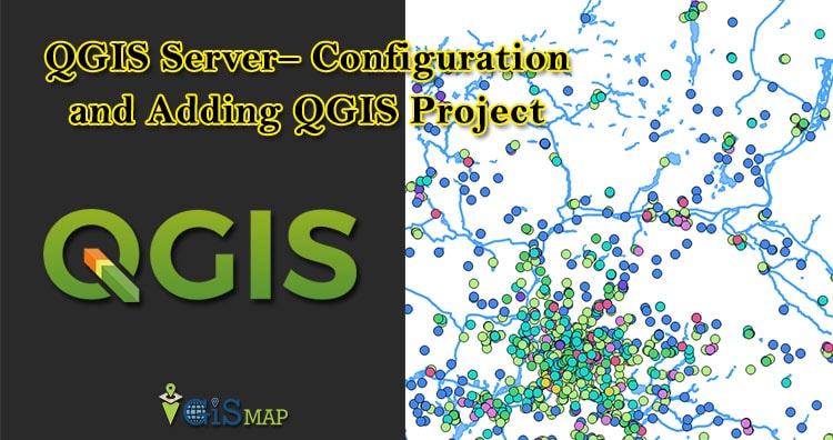
In our Previous Post QGIS Server – Installation we have talked about the installation process of QGIS Server in Ubuntu and it was easy. In previous post we get the XML file with GetCapabilities working in the browser. In the following sections, we will provide a sample configuration to set up a QGIS Server on … Continue reading “QGIS Server – Configuration and Deploying QGIS Project”

QGIS Server – Installation in Ubuntu

QGIS Server is one of the best server for web map rendering and it can be also used as back end for the GIS logic. This post summarizes notes about QGIS Server – Installation in Ubuntu 16.04 LTS. As we know QGIS Server is a  FAst Common Gateway Interface application and it is written in C++ … Continue reading “QGIS Server – Installation in Ubuntu”

Connection between PostGIS and QGIS

GIS applications are tools that allow users to create interactive queries (user-created searches), analyze spatial information, edit data in maps, and present the results of all these operations. Geographic information science is the science underlying geographic concepts, applications, and systems and What goes beyond a GIS is a spatial data infrastructure, a concept that has … Continue reading “Connection between PostGIS and QGIS”

Import OSM data in Postgis – OSM2pgsql

This article lets you know how to import data in postgresql.  Open Street map (OSM) is open and free data. Anyone one can download this data. It mainly contains point data, line data, polygon data and geometry information. Data contains much information and becomes heavy i.e. upto 30GB or more. Many compression techniques are applied to … Continue reading “Import OSM data in Postgis – OSM2pgsql”

Geographical Information System (GIS) FAQs – GIS Interview Question

Geographical Information System (GIS) is a computer-based tool that is designed to capture, store, manipulate, analyze, manage, and present spatial or Geographic data, usually in a map. GIS application is a tool that allows users to create user-created searches, integrate and analyze spatial information and present the results of all these operations. GIS describes any information system … Continue reading “Geographical Information System (GIS) FAQs – GIS Interview Question”

Geoserver FAQs – Geoserver Interview Question

GeoServer is one of the open source GIS Server, which serves Vector and Raster GIS files for instance, Shapefile, GML, KML, NetCDF, GeoTiff, GRIB, HDF5, PostGIS database etc. GeoServer is written in Java, which allows user to process, share, and edit the geospatial data. Here in this post we will check FAQs of Geoserver and … Continue reading “Geoserver FAQs – Geoserver Interview Question”

Install PostGIS and PostgreSQL in Linux Ubuntu 16.4

In this post we are going to talk about How to install PostGIS and PostgreSQL in ubuntu 16.4 (LTS) or Linux system. As we know geographic information system (GIS) is a system designed to capture, store, manipulate, manage, and present spatial or geographic data. And PostGIS adds support for geographic objects allowing location queries to … Continue reading “Install PostGIS and PostgreSQL in Linux Ubuntu 16.4”

PGrouting PostGIS Postgresql – No need for Google routing

Do you have all road data with you and want to creating routing from that according to your algorithm? Needs an alternative to Google Map API, when having your own road datasets? PGrouting with PostGresSql can help you out by doing that. Here in this post we will look for PGRouting PostGreSql implementation steps by … Continue reading “PGrouting PostGIS Postgresql – No need for Google routing”

KML to GML – Convert Keyhole to Geography

Sometimes we need to convert KML to GML where the software supports GML language. But before converting Keyhole markup language to Geography markup language, you should know the basic structure of KML and GML. So that if the file is corrupted then before converting it you can correct it manually and process the same in … Continue reading “KML to GML – Convert Keyhole to Geography”