Convert GeoJSON to KML

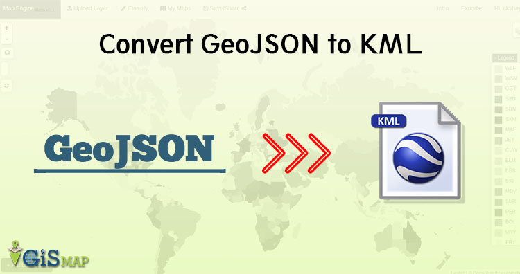
In this article we would be discussing about conversion of GeoJSON data to KML (Keyhole Markup Language). This conversion is required when you are using software such Google earth to see the data. KML works great with Google earth. There is simple step to Convert GeoJSON to KML using ogr2ogr utility from GDAL library. Before … Continue reading “Convert GeoJSON to KML”

NetCDF Multidimensional data

NetCDF (network Common Data Form) is multidimensional data format only supports EPSG 4326 (WGS84). Multi dimensional simply means that it can grow in all direction with time. It has some important vocabulary to defines formation of NetCDF data structure. You may also look over HDF multidimensional Data, GRIB multidimensional data and all multidimensional data. To … Continue reading “NetCDF Multidimensional data”

HDF MultiDimensional Data

Hierarchical Data Format HDF multidimensional data, which can grow in space and time dimension. It is specially designed by National Center for Supercomputing Applications (NCSA) for storing scientific data in mosaic datasets. You may also look over GRIB, netcdf and all multidimensional data. Here the data is stored in hierarchical format i.e. in tree like structure. … Continue reading “HDF MultiDimensional Data”

GRIB Multidimensional Data

General Regularly-distributed Information in Binary GRIB multidimensional Data that can grow in space (Latitude, Longitude and altitude) and time. GRIB data is standardized by World Meteorological Organization (WMO). This contains various raster data in mosaic datasets.  This stores data from meteorological department and weather forecast. You may also look over NetCDF multidimensional data, HDF multidimensional data … Continue reading “GRIB Multidimensional Data”

MultiDimensional Data – NetCDF, GRIB, HDF Format

In this article we are going to discuss about multidimensional data. The dataset comprises space (latitude ,longitude and altitude) and time. Here we can have temperature dataset as an example which spreads in all direction and increases/decreases with time. Multi-Dimensional data comprised of multiple dataset for specific purpose. Data can be for Atmospheric, oceanographic and … Continue reading “MultiDimensional Data – NetCDF, GRIB, HDF Format”

Convert GeoJSON to Shapefile

In this article we are converting GeoJSON to Shapefile shp format. You might be thinking why would anyone convert GeoJSON in shapefile. Answer is very simple Shapefile is very popular data format with open specification for data interoperability among GIS (Geographical information system) softwares. Before moving towards conversion steps we must look for GeoJSON and … Continue reading “Convert GeoJSON to Shapefile”

Leaflet FAQs – Leaflet Interview Questions

Leaflet is one of the most popular open-source JavaScript libraries for interactive maps. Simplicity, performance and usability are the major keys of the Leaflet. It create maps right from the R console or RStudio and Use map bounds and mouse events to drive Shiny logic. Leaflet allows developers without a GIS background to very easily … Continue reading “Leaflet FAQs – Leaflet Interview Questions”

Maps FAQs – Maps Interview Questions

Maps shows a emphasizing relationships between elements of some space, such as objects, regions, or themes represented symbolically. Map is the shortened term referring to a two-dimensional representation of the surface of the world. Maps are most commonly used to depict geography, maps may represent any space, real or imagined, without regard to context or scale, such as … Continue reading “Maps FAQs – Maps Interview Questions”

Vector Data file formats list in GIS

In GIS, we require some data formats to express the geographical features, which mainly are of two types Raster and Vector data formats. These data sources also has multiple file formats in them which are often used to express the geographical features. In this post we are looking forward to see the List of Vector … Continue reading “Vector Data file formats list in GIS”

Raster data file format lists in GIS

This post will describe you about the Raster data file format lists in GIS. In Geographical information system there are only two methods which are used to store data for both kinds of mapping references i.e Raster and Vector Data GIS files. And in this post we are going to talk about the various Raster … Continue reading “Raster data file format lists in GIS”