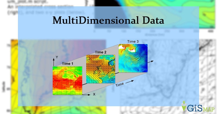
GRIB Multidimensional Data
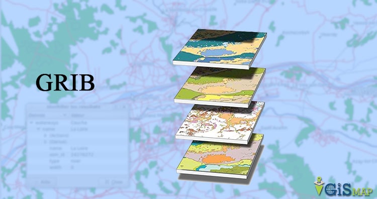
General Regularly-distributed Information in Binary GRIB multidimensional Data that can grow in space (Latitude, Longitude and altitude) and time. GRIB data is standardized by World Meteorological Organization (WMO). This contains various raster data in mosaic datasets. This stores data from meteorological department and weather forecast. You may also look over NetCDF multidimensional data, HDF multidimensional data … Continue reading “GRIB Multidimensional Data”