Leaflet Print Map – Legends, Title, Layer, Color

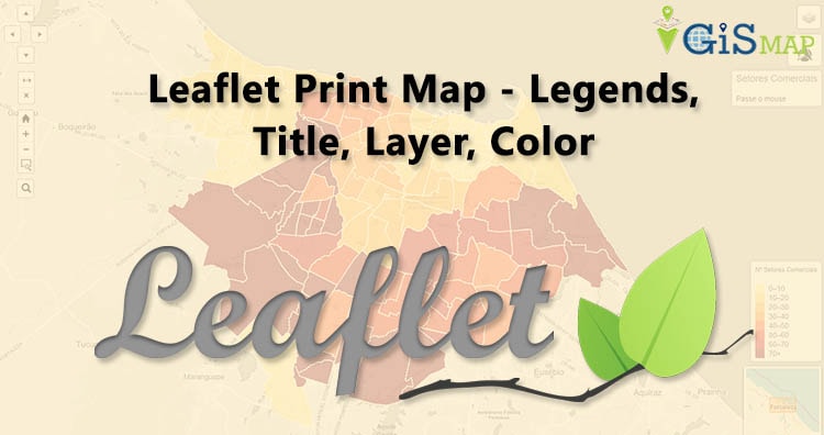
This article i.e Leaflet Print Map – Legends, Title, Layer, Color is for how can we take a beautiful map on paper from web by making it printable, with all map elements as map title and legends etc. Here we will use leaflet-image plugin from leaflet JavaScript library. This plugin uses the map and canvas HTML … Continue reading “Leaflet Print Map – Legends, Title, Layer, Color”

Geoserver Importer Extension API – Upload and Publish Data

In our previous articles we went through how vector and raster data can be publish on Geoserver using stores. Here, in this article we would be discussing what is importer and how this extension can be used to upload and publish the data i.e with Geoserver Importer Extension API.  If you haven’t looked over how to … Continue reading “Geoserver Importer Extension API – Upload and Publish Data”

Download Australia Administrative Boundary Shapefiles – States, Local Government Area, Postal Areas and more

Hello GIS enthusiasts, IGISMAP has now published the latest GIS vector data of Australia administrative levels. Links for downloading the shapefiles of the important administrative divisions of Australia are provided in the following. You can also download these data in KML, GeoJSON or CSV formats.  Note: Download Free Shapefile Data of Australia Australia is the … Continue reading “Download Australia Administrative Boundary Shapefiles – States, Local Government Area, Postal Areas and more”

Mapzen Alternative – Build your server

In this post we are focusing on Mapzen Alternative. Recently an open source mapping company Mapzen announced it would shut down shortly with Its hosted APIs and support services going down too. Mapzen Alternative – Build your own server Mapzen tools help developers build wonderful interactive maps and equip them with search and routing services. … Continue reading “Mapzen Alternative – Build your server”

Insurance Management GIS Web/App Development – Cost, Time – Map Tool

In this blog post we describe a detailed overview of Insurance Management GIS Web/App Development tool’s Requirement, Time, Technology and functionality. Insurance Management GIS map tool provides you every location-based insight you need and It can also be used as Risk Manager as It uses smart maps, data analysis and all of the features for … Continue reading “Insurance Management GIS Web/App Development – Cost, Time – Map Tool”

Interactive Real Estate Web/App Development – Cost, Time – GIS Tool

In this blog post we describe a detailed overview of Real Estate Web App GIS tool’s Requirement, Time, Technology and functionality. All of the required features and requirements of Real Estate web app GIS tools are going to be described in this post in details. Why one should Build Interactive Real Estate Web App GIS … Continue reading “Interactive Real Estate Web/App Development – Cost, Time – GIS Tool”

QGIS2Web – Create Web Maps

Web Mapping  is a service through which the consumers will choose what they want to show on the map. It is a great way to publish your Geographical information system data to their web and make it accessible by the other consumers. web mapping is tightly related to programming and it has a learning curve. GIS … Continue reading “QGIS2Web – Create Web Maps”