Interactive Real Estate Web/App Development – Cost, Time – GIS Tool

In this blog post we describe a detailed overview of Real Estate Web App GIS tool’s Requirement, Time, Technology and functionality. All of the required features and requirements of Real Estate web app GIS tools are going to be described in this post in details. Why one should Build Interactive Real Estate Web App GIS … Continue reading “Interactive Real Estate Web/App Development – Cost, Time – GIS Tool”

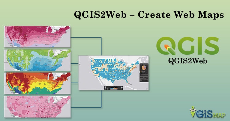
QGIS2Web – Create Web Maps

Web Mapping  is a service through which the consumers will choose what they want to show on the map. It is a great way to publish your Geographical information system data to their web and make it accessible by the other consumers. web mapping is tightly related to programming and it has a learning curve. GIS … Continue reading “QGIS2Web – Create Web Maps”

ArcGIS FAQs – ArcGIS Interview Question

ArcGIS provides an infrastructure for making maps and geographic information available throughout an organization, across a community, and openly on the Web. Applying location-based analysis to business practices are some of the unique set of capabilities offered by ArcGIS. Here in this post we will check FAQs of ArcGIS and Common Question asked during Interview Question. ArcGIS … Continue reading “ArcGIS FAQs – ArcGIS Interview Question”

WPS Split polygon on Geoserver Openlayers

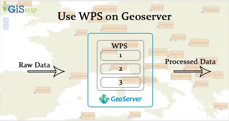
WPS (Web Process Service) is an OGC service that allows you to publish geospatial processes. This is available as an extension on geoserver. To add this extension you must check the version for geoserver you are using. Before downloading the extension you can check whether WPS is available in you local geoserver or not. For … Continue reading “WPS Split polygon on Geoserver Openlayers”

Install GeoServer for Ubuntu

Install GeoServer for Linux System. For producing any detail map, we need to have large detailed dataset. If it is about country level or world level analysis it may create huge problem with huge dataset. It can hang your system or slow down it. Even for browser it is dangerous because browser takes time or … Continue reading “Install GeoServer for Ubuntu”

Convert Geojson to GML- Geography Markup Language

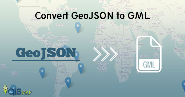
This article is about Convert GeoJSON to GML. Here we are using GDAL utility (ogr2ogr) for conversion. This conversion become useful when you just wants to study or analysis the data in text format. In GML format stores data as text in tags. It makes easy for user to understand the details of attributes. Before … Continue reading “Convert Geojson to GML- Geography Markup Language”

Convert Geojson to MIF MapInfo file

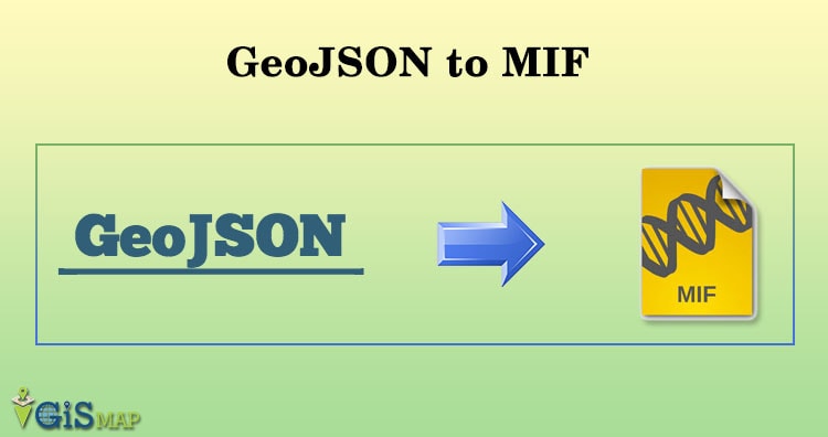
In this article we will be discussing about convert GeoJSON to MIF Mapinfo using GDAL utility (Ogr2ogr). This conversion is useful with MapInfo mapping and geographic analysis softwares. Convert Geojson to MIF MapInfo file We must understand GeoJSON and MIF format in detail before conversion. Convert Online GeoJSON to MIF Mapinfo Specification of GeoJSON data- Convert … Continue reading “Convert Geojson to MIF MapInfo file”