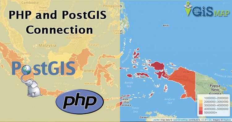
PostGIS, Geoserver and Leaflet | GIS Web Development

In this article we will see how data can query in Postgres and store and view at Geoserver and Leaflet i.e GIS Web Development with PostGIS, Geoserver and Leaflet. For this you will require setup of all three. You can visit our tutorial to install Geoserver For Linux or geoserver install in windows, Postgres and Postgis … Continue reading “PostGIS, Geoserver and Leaflet | GIS Web Development”