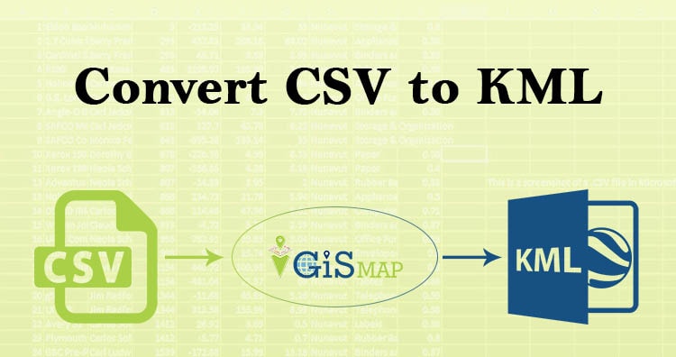
Creating a Basic Map – QGIS

QGIS 3.2.1 works well for creating interactive maps, using good set of tools and symbology its become easy to implement. In the previous post we learn how to open and view vector data. So, today we are Creating a Basic Map – QGIS. For creating  basic map we work with the vector data. Vector data … Continue reading “Creating a Basic Map – QGIS”

QGIS 3.4.4 open and view vector data

In GIS , geographic features are often expressed in multiple data formats. Vector and raster data are prime data formats. In this post you will know  about QGIS 3.4.4 open and view vector file – shapefile, kml, dxf, geosjon etc. Vector describes geographic data into three types of geometry. Data represented in terms of points, line … Continue reading “QGIS 3.4.4 open and view vector data”

Introduction of QGIS 3.4.4 for beginners

Quantum Geographical Information System is a open source platform for viewing, editing, managing and analysis of spatial data with various features which makes your analysis better. As we need word processor to deal with words similar to this for spatial information we require GIS application. In this blog I am providing Introduction of QGIS 3.4.4 … Continue reading “Introduction of QGIS 3.4.4 for beginners”

Create Category Map in GIS – IGIS Map Converter Tool

Category map in GIS is the most common and simple type of GIS Map. Category map in GIS can be created very easily with the help of MapOG Converter Tool. The Category map in GIS help us visualize and identify the category of the location. Categorization is an essential requirement for the map users to analyze … Continue reading “Create Category Map in GIS – IGIS Map Converter Tool”

Basics of Cartography: Map, Map Projection

Cartography is a science which deals with the study and drawing of maps. Simply, we can say it is related to mapmaking methods. Cartography is made of two words ‘Carto’ means map or chart and graphy means ‘to draw’ or ‘to write’. Here in this article we will understand Basics of Cartography: Map, Map Projection. … Continue reading “Basics of Cartography: Map, Map Projection”

Leaflet.js – Point, Polyline, Polygon, Rectangle, Circle – Basic Shapes

In this tutorial we are focusing on the Leafletjs basic shapes used for mapping. Leaflet.js can add various shapes such as circles, polygons, rectangles, polylines, points or markers etc. here, we will discuss how to use the shapes provided by Google Maps. If you are not familiar with Leaflet.js, you can visit our another blog Leaflet … Continue reading “Leaflet.js – Point, Polyline, Polygon, Rectangle, Circle – Basic Shapes”

Convert KML to GeoJSON

Have you extracted and downloaded KML file from Google Earth or Google map and want to render it with libraries supporting GeoJSON file format? Are you tired of downloading the same data in different formats? Using Map Tool you can easily convert – KML to GeoJSON. You can also do other GIS Data Conversion using this tool. … Continue reading “Convert KML to GeoJSON”