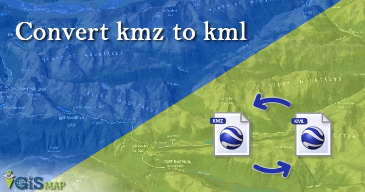
Get Band Information from WMS Geoserver Leafletjs

Get Band Information from WMS Geoserver Leafletjs. Band Information from Layer: In its simplest form, a raster consists of a matrix of cells (or pixels) organized into rows and columns (grid), where each cell contains a value representing information, such as temperature, precipitation or elevation etc. Rasters are digital aerial photographs, imagery from satellites, digital pictures, or … Continue reading “Get Band Information from WMS Geoserver Leafletjs”

GeoServer Tiling – Web Cache Load WMS layer Fast

Here we will find out how to implement GeoServer Tiling to make wms tiles load fast. Tile Layers from geoserver: The need of tile layer is to speed up the rendering of data. It is similar to the Layer Preview for GeoWebCache. There are png, jpeg, geotiff many formats available to store the tiles. In … Continue reading “GeoServer Tiling – Web Cache Load WMS layer Fast”

Create and Measure Map Polygon Area – Quick Help

Creating Polygons shapes on digitized lands is easy as we already have some tutorial created for creating polygon with leafletjs. But ever wondered what should one do when they need to Create and measure Map Polygon area? The solutions for small challenges like this, which appears to be big for developers who didn’t worked on … Continue reading “Create and Measure Map Polygon Area – Quick Help”

Fleet Management System – Requirement | Features | Cost

This blog post describes a detailed overview of fleet management system – Requirement, Time, Technology and functionality. All features of Fleet Management Systems are going to be provided in this post in details. Fleet Management System: Fleet Management System is the range of functions which allows transportation companies in business to minimize the risk related … Continue reading “Fleet Management System – Requirement | Features | Cost”

Large GIS Data file on Web | GeoServer Importance

Render Large GIS Data file on Web | GeoServer Importance. For producing any detail map, we need to have large detailed dataset. If it is about country level or world level analysis data it may create huge problems with huge dataset. It can hang your system or slow down it if not used properly. Even … Continue reading “Large GIS Data file on Web | GeoServer Importance”

PostGIS, Geoserver and Leaflet | GIS Web Development

In this article we will see how data can query in Postgres and store and view at Geoserver and Leaflet i.e GIS Web Development with PostGIS, Geoserver and Leaflet. For this you will require setup of all three. You can visit our tutorial to install Geoserver For Linux or geoserver install in windows, Postgres and Postgis … Continue reading “PostGIS, Geoserver and Leaflet | GIS Web Development”

GIS in Healthcare Industry – Mapping, Tracking, Discover

Healthcare Industry or the Public healthcare Industry deals with public medical care on a very large scale and there are many outbreaks and crisis happens some particular areas or some routes. The Ability to map out  and visually represent a region is necessary for planning responses to health crises and  identified outbreaks which is done … Continue reading “GIS in Healthcare Industry – Mapping, Tracking, Discover”

GIS in Banking Sector – Scope | Benefits | Uses

In last decade, the Banking sector has been undergone drastic changes, reflecting a huge development in services. The impressive advancements in communication and information technology accelerated and broadened  the expansion of financial information and services in the first place. As a matter of fact there is an imperative necessity to standardize the industry processes through … Continue reading “GIS in Banking Sector – Scope | Benefits | Uses”