Create Category Map in GIS – IGIS Map Converter Tool

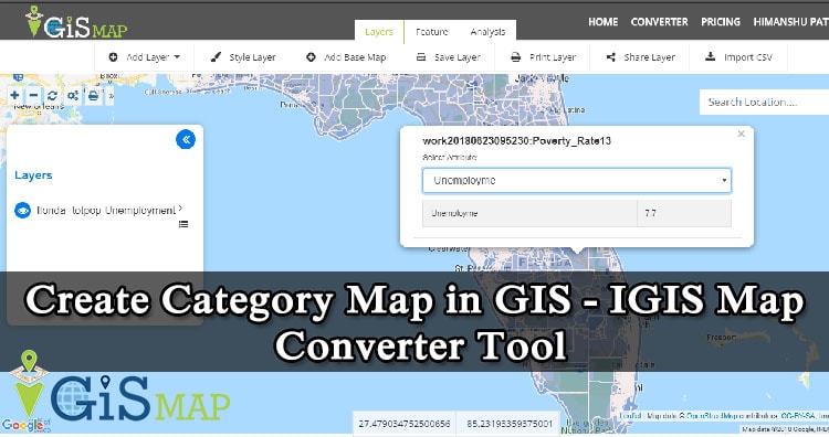
Category map in GIS is the most common and simple type of GIS Map. Category map in GIS can be created very easily with the help of MapOG Converter Tool. The Category map in GIS help us visualize and identify the category of the location. Categorization is an essential requirement for the map users to analyze … Continue reading “Create Category Map in GIS – IGIS Map Converter Tool”

Basics of Cartography: Map, Map Projection

Cartography is a science which deals with the study and drawing of maps. Simply, we can say it is related to mapmaking methods. Cartography is made of two words ‘Carto’ means map or chart and graphy means ‘to draw’ or ‘to write’. Here in this article we will understand Basics of Cartography: Map, Map Projection. … Continue reading “Basics of Cartography: Map, Map Projection”

Leaflet.js – Point, Polyline, Polygon, Rectangle, Circle – Basic Shapes

In this tutorial we are focusing on the Leafletjs basic shapes used for mapping. Leaflet.js can add various shapes such as circles, polygons, rectangles, polylines, points or markers etc. here, we will discuss how to use the shapes provided by Google Maps. If you are not familiar with Leaflet.js, you can visit our another blog Leaflet … Continue reading “Leaflet.js – Point, Polyline, Polygon, Rectangle, Circle – Basic Shapes”

Convert KML to GeoJSON

Have you extracted and downloaded KML file from Google Earth or Google map and want to render it with libraries supporting GeoJSON file format? Are you tired of downloading the same data in different formats? Using Map Tool you can easily convert – KML to GeoJSON. You can also do other GIS Data Conversion using this tool. … Continue reading “Convert KML to GeoJSON”

Get Band Information from WMS Geoserver Leafletjs

Get Band Information from WMS Geoserver Leafletjs. Band Information from Layer: In its simplest form, a raster consists of a matrix of cells (or pixels) organized into rows and columns (grid), where each cell contains a value representing information, such as temperature, precipitation or elevation etc. Rasters are digital aerial photographs, imagery from satellites, digital pictures, or … Continue reading “Get Band Information from WMS Geoserver Leafletjs”

GeoServer Tiling – Web Cache Load WMS layer Fast

Here we will find out how to implement GeoServer Tiling to make wms tiles load fast. Tile Layers from geoserver: The need of tile layer is to speed up the rendering of data. It is similar to the Layer Preview for GeoWebCache. There are png, jpeg, geotiff many formats available to store the tiles. In … Continue reading “GeoServer Tiling – Web Cache Load WMS layer Fast”

Create and Measure Map Polygon Area – Quick Help

Creating Polygons shapes on digitized lands is easy as we already have some tutorial created for creating polygon with leafletjs. But ever wondered what should one do when they need to Create and measure Map Polygon area? The solutions for small challenges like this, which appears to be big for developers who didn’t worked on … Continue reading “Create and Measure Map Polygon Area – Quick Help”

Fleet Management System – Requirement | Features | Cost

This blog post describes a detailed overview of fleet management system – Requirement, Time, Technology and functionality. All features of Fleet Management Systems are going to be provided in this post in details. Fleet Management System: Fleet Management System is the range of functions which allows transportation companies in business to minimize the risk related … Continue reading “Fleet Management System – Requirement | Features | Cost”