Convert TAB file to KML file

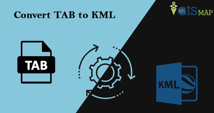
Are you looking for converting your TAB data file into KML format for using it in your GIS project? Have you extracted and downloaded TAB file from Map Info, MID or MIF and want to render it with your Geo library which support KML format?  If so, here is an article to convert TAB to KML format … Continue reading “Convert TAB file to KML file”

Query GIS Data – IGIS Map Tool – Now known as MAPOG

To Query GIS Data easily with IGIS map tool, we can use the Query tool.  A GIS query tool, or selection tool as it is often know, allows us to filter a dataset based on criteria that we define. Querying in IGIS Map Tool allows user to explore your data with rule based queries. User … Continue reading “Query GIS Data – IGIS Map Tool – Now known as MAPOG”

Download Germany Administrative Boundary Shapefiles – States, Districts, Postal Codes and more

Hello GIS enthusiasts, IGISMAP has now published the latest GIS vector data of Germany administrative levels. Links for downloading the shapefiles of the important administrative divisions of Germany are provided in the following. You can also download these data in KML, GeoJSON or CSV formats. Note: Download Free Shapefile Data of Germany Germany officially known … Continue reading “Download Germany Administrative Boundary Shapefiles – States, Districts, Postal Codes and more”

Download New Zealand Administrative Boundary Shapefiles – Regional Councils, Territorial Authorities, Wards and more

Hello GIS enthusiasts, IGISMAP has now published the latest GIS vector data of New Zealand administrative levels. Links for downloading the shapefiles of the important administrative divisions of New Zealand are provided in the following. You can also download these data in KML, GeoJSON or CSV formats.  Note: Download Free Shapefile Data of New Zealand … Continue reading “Download New Zealand Administrative Boundary Shapefiles – Regional Councils, Territorial Authorities, Wards and more”

Download India Administrative Boundary Shapefiles – States, Districts, Pincodes and more

Namaste GIS professionals after a long time here is the shapefile of India. We get lots of queries on how to download India boundary shapefile for free and now the wait is over. In this post you will find administrative levels as well as electoral divisions of India. Download Free Shapefile Data of India India, … Continue reading “Download India Administrative Boundary Shapefiles – States, Districts, Pincodes and more”

Download Nigeria Administrative Boundary Shapefiles – States, Local Government Areas, Wards and more

Hello GIS enthusiasts, IGISMAP has now published the latest GIS vector data of Nigeria administrative levels. Links for downloading the shapefiles of the important administrative divisions of Nigeria are provided in the following. You can also download these data in KML, GeoJSON or CSV formats.  Note: Download Free Shapefile Data of Nigeria Nigeria, officially the … Continue reading “Download Nigeria Administrative Boundary Shapefiles – States, Local Government Areas, Wards and more”

Download South Africa Administrative Boundary Shapefiles – Provinces, Districts, Wards and more

Hello GIS enthusiasts, IGISMAP has now published the latest GIS vector data of South Africa administrative levels. Links for downloading the shapefiles of the important administrative divisions of South Africa are provided in the following. You can also download these data in KML, GeoJSON or CSV formats.  Note: Download Free Shapefile Data of South Africa … Continue reading “Download South Africa Administrative Boundary Shapefiles – Provinces, Districts, Wards and more”

Download Mexico Administrative Boundary Shapefiles – Provinces, Municipalities, Island Territories and more

Hello GIS enthusiasts, IGISMAP has now published the latest GIS vector data of Mexico administrative levels. Links for downloading the shapefiles of the important administrative divisions of Mexico are provided in the following. You can also download these data in KML, GeoJSON or CSV formats.  Note: Download Free Shapefile Data of Mexico Mexico, officially the … Continue reading “Download Mexico Administrative Boundary Shapefiles – Provinces, Municipalities, Island Territories and more”

Download Brazil Administrative Boundary Shapefiles – Regions, Federal Units, Municipalities and more

Hello GIS enthusiasts, IGISMAP has now published the latest GIS vector data of Brazil administrative levels. Links for downloading the shapefiles of the important administrative divisions of Brazil are provided in the following. You can also download these data in KML, GeoJSON or CSV formats.  Note: Download Free Shapefile Data of Brazil Brazil officially the … Continue reading “Download Brazil Administrative Boundary Shapefiles – Regions, Federal Units, Municipalities and more”